Hills of Britain and Ireland
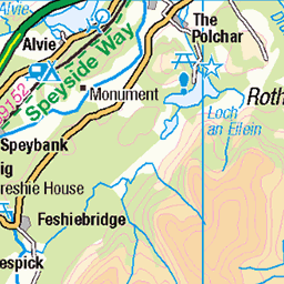
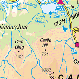
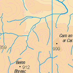
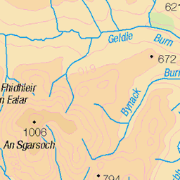
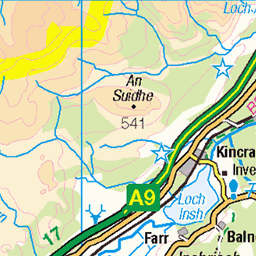
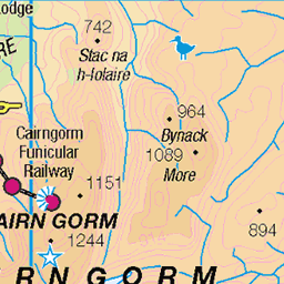
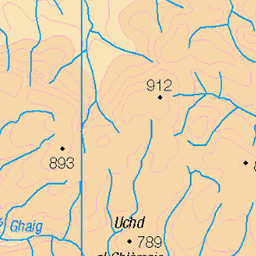
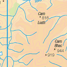
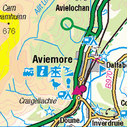
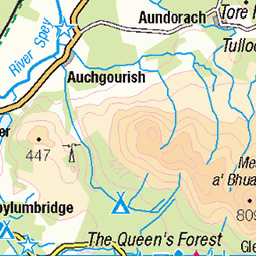
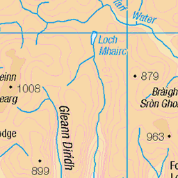
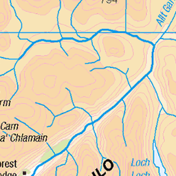
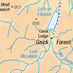
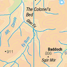
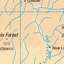
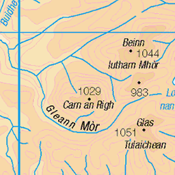
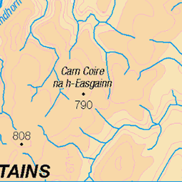
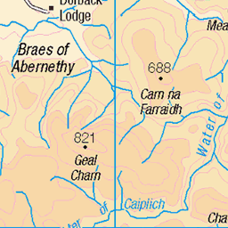
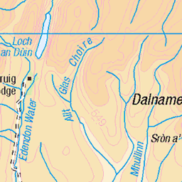
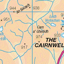
OS Map of Tom Dubh
Height: 920m / 3018ft • Prominence: 40m / 131ft • Summit : boulder 8m SE of large cairn • Trip reports (hill-bagging)


Running water on the Moine Mor
05-Aug-12 • Nick Bramhall • flickr
scotland unitedkingdom kingussie 7754738968

Braeriach and Einich Cairn
05-Aug-12 • Nick Bramhall • flickr
scotland unitedkingdom kingussie 7754747224
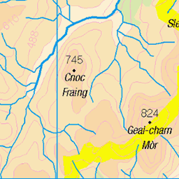
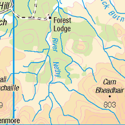
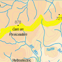
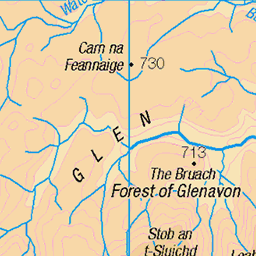
OS Map
This is OS mapping. In some areas, OpenStreetMap shows more footpaths
Spatial NI has online OSNI mapping. Click "Basemap Gallery" (4 squares icon at the top).
Now would be a good time for a cup of tea.
GPX Editor
Record map clicks
Reload map
Photos
Please tag your photos and upload them to the British and Irish Mountains group on Flickr
The other photos have been geo-tagged as on or around the summit. For less busy mountains, it can be a little hit and miss.
Running water on the Moine Mor
05-Aug-12 • Nick Bramhall • flickr
scotland unitedkingdom kingussie 7754738968
Braeriach and Einich Cairn
05-Aug-12 • Nick Bramhall • flickr
scotland unitedkingdom kingussie 7754747224

Rock pile on the Moine Mor
05-Aug-12 • Nick Bramhall • flickr
scotland unitedkingdom sh kingussie 7754755756


Clouds over Cairn Toul
05-Aug-12 • Nick Bramhall • flickr
bw scotland unitedkingdom kingussie 7754765948

Cloud over Sgor Gaoith
05-Aug-12 • Nick Bramhall • flickr
scotland unitedkingdom kingussie 7754771096
Videos
None found
Notes
- Data: Database of British and Irish Hills v18.2
- Maps: We use OS mapping for England, Scotland, Wales, and the Isle of Man. Sadly, Channel Islands, Northern (OSNI) and Southern Ireland (OSI) mapping isn't available online, so we use Openstreetmap.