Hills of Britain and Ireland
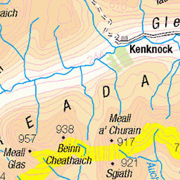
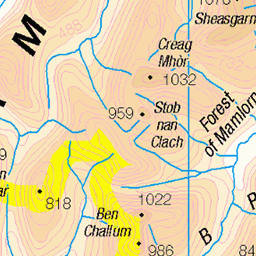
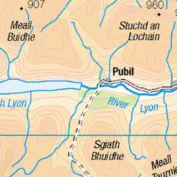
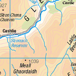
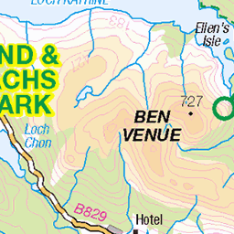
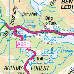
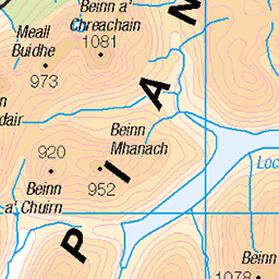
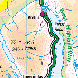
OS Map of Meall an Lochain
Height: 662m / 2171ft • Prominence: 30m / 98ft • Summit : no feature: grass • Trip reports (hill-bagging)

BEALACH NAM EIREANNAICH
Went for a recce yesterday afternoon up Kirkton Glen from Balquhidder Church. Took the Right of Way track to reach Lochan nam Eireannaich (small loch of the Irishman) at the bealach below the prominent crag of Leum an Eireannaich (the Irishman's Leap). Disappointingly, the lochan is in a hollow surrounded by steep grassy slopes and was in complete shade. This is the view South from the boulder field beneath Leum an Eireannaich in the late afternoon light. www.simonswalesphotography.co.uk" rel="nofollow Website
02-Oct-16 • SwaloPhoto • flickr
sky shadows clouds rocks bealach pass srows lochlomond thetrossachs nationalpark lairigearne boulders scotland autumn mountains fujinonxf18135mm f3556rlmoiswr formatthitech 100mmfirecrestsystem firecrest polariser fujixt1 kirktonglen 29796358930

ABOVE GLEN FALLOCH
The view on the North side of the Bealach nam Eireannaich at the head of Kirkton Glen, Loch Lomond and the Trossachs National Park. Glen Falloch is below with the Munro of Meall Ghaordaidh some 15km distant. The slopes are bathed in warm light from the setting sun.
02-Oct-16 • SwaloPhoto • flickr
autumn lairigearne lochlomond trossachs nationalpark scotland meallghaordaidh munro southernhighlands fujinonxf18135mm f3556rlmoiswr sky clouds shadows rocks mountains fujixt1 glenfalloch 30074502226


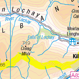
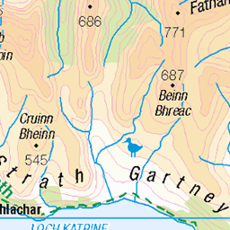
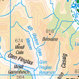
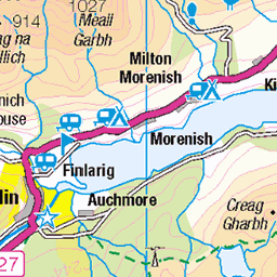
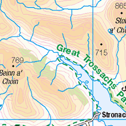
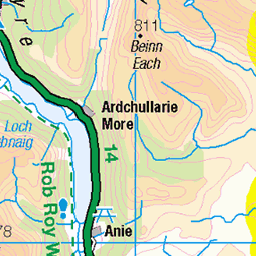
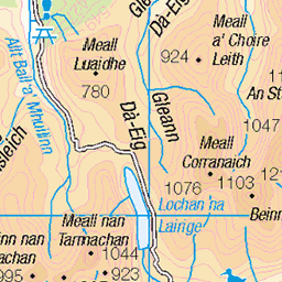
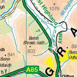
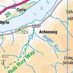
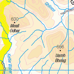
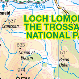
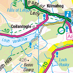
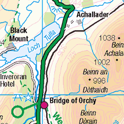
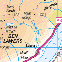
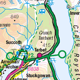
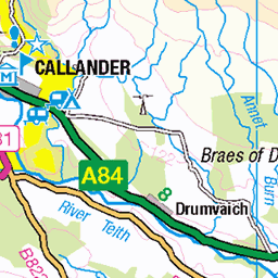
OS Map
This is OS mapping. In some areas, OpenStreetMap shows more footpaths
Spatial NI has online OSNI mapping. Click "Basemap Gallery" (4 squares icon at the top).
Now would be a good time for a cup of tea.
GPX Editor
Record map clicks
Reload map
Photos
Please tag your photos and upload them to the British and Irish Mountains group on Flickr
The other photos have been geo-tagged as on or around the summit. For less busy mountains, it can be a little hit and miss.
BEALACH NAM EIREANNAICH
Went for a recce yesterday afternoon up Kirkton Glen from Balquhidder Church. Took the Right of Way track to reach Lochan nam Eireannaich (small loch of the Irishman) at the bealach below the prominent crag of Leum an Eireannaich (the Irishman's Leap). Disappointingly, the lochan is in a hollow surrounded by steep grassy slopes and was in complete shade. This is the view South from the boulder field beneath Leum an Eireannaich in the late afternoon light. www.simonswalesphotography.co.uk" rel="nofollow Website
02-Oct-16 • SwaloPhoto • flickr
sky shadows clouds rocks bealach pass srows lochlomond thetrossachs nationalpark lairigearne boulders scotland autumn mountains fujinonxf18135mm f3556rlmoiswr formatthitech 100mmfirecrestsystem firecrest polariser fujixt1 kirktonglen 29796358930
ABOVE GLEN FALLOCH
The view on the North side of the Bealach nam Eireannaich at the head of Kirkton Glen, Loch Lomond and the Trossachs National Park. Glen Falloch is below with the Munro of Meall Ghaordaidh some 15km distant. The slopes are bathed in warm light from the setting sun.
02-Oct-16 • SwaloPhoto • flickr
autumn lairigearne lochlomond trossachs nationalpark scotland meallghaordaidh munro southernhighlands fujinonxf18135mm f3556rlmoiswr sky clouds shadows rocks mountains fujixt1 glenfalloch 30074502226
Videos
Drone Music by @belugalagoonfilms8620 ➤ Email scottishmunrojourney@hotmail.com ➤ In today's video I will be climbing the ...
We climbed these two Munros from Glen Dochart near Crianlarich and it was a tough day. After climbing Sgiath Chuil, there's ...
A walk up the Munros Meall Glas and Sgiath Chuil from Glen Dochart. Access is through Auchessan Estate just off the A85.
A morning hike up the Munro, Ben Vorlich. Amazing cloud inversion.
Yesterday's jaunt up Stob Binnein, from Inverlochlarig and Munro Tops, Meall na Dige 966m, & Stob Coire an Lochain, 1068m.
Notes
- Data: Database of British and Irish Hills v18.2
- Maps: We use OS mapping for England, Scotland, Wales, and the Isle of Man. Sadly, Channel Islands, Northern (OSNI) and Southern Ireland (OSI) mapping isn't available online, so we use Openstreetmap.