Hills of Britain and Ireland
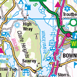
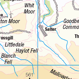
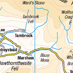
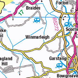
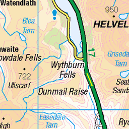
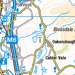
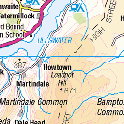
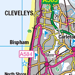
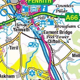
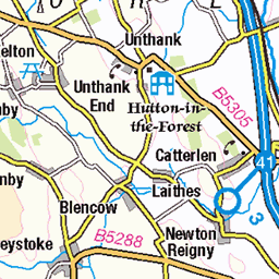
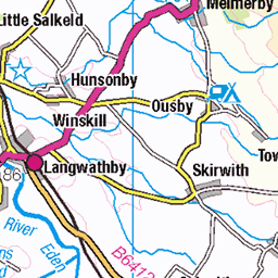
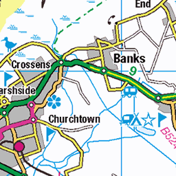
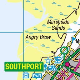
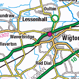
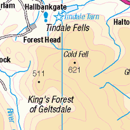
OS Map of Hampsfell
Height: 222m / 728ft • Prominence: 101m / 331ft • Summit : limestone paving: 120m N by E of Hospice • Trip reports (hill-bagging)

Grange-over-Sands, Cumbria. Yew Barrow limestone crags.
Victorian paths serve the wooded limestone hill, with some sections cut into the crag.
12-Mar-25 • hercon2000uk. • flickr
54386372173

Grange-over-Sands, Cumbria. Yew Barrow. Path cut into limestone crag.
The wooded limestone hill of Yew Barrow is now an open access area serviced by various paths, some of which pass below the crags. In places the crags have been cut into, allowing the paths to maintain a steady level, part of the Victorian 'improvements'.
12-Mar-25 • hercon2000uk. • flickr
54386333254

Grange-over-Sands, Cumbria. Grange Manor Hotel limekiln below Yew Barrow.
This limekiln is one of many that served the requirements for lime production used in mortar for building and sweetening the land. Note the original entrance arch has been reduced, making the area inside enclosed for storage purposes at a later date.
12-Mar-25 • hercon2000uk. • flickr
54386517210

Grange-over-Sands, Cumbria. High Farm. Listed barns.
Part of the complex of listed barns on site.
08-Mar-25 • hercon2000uk. • flickr
54386143731

Grange-over-Sands, Cumbria. High Farm & barns.
The barns are listed, the house not. However, the buildings taken together make an interesting group.
08-Mar-25 • hercon2000uk. • flickr
54386516875

Grange-over-Sands, Cumbria. High Farm.
Whilst the farmhouse itself is not listed, the huge barns are, making this an interesting farming complex.
08-Mar-25 • hercon2000uk. • flickr
54386333554
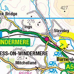
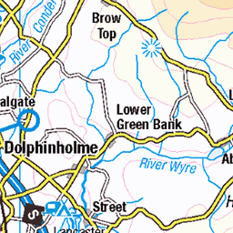
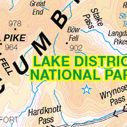
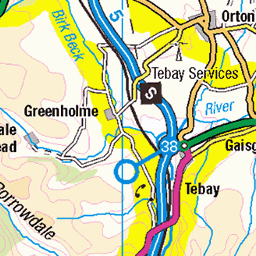
OS Map
This is OS mapping. In some areas, OpenStreetMap shows more footpaths
Spatial NI has online OSNI mapping. Click "Basemap Gallery" (4 squares icon at the top).
Now would be a good time for a cup of tea.


GPX Editor
Record map clicks
Reload map
Photos
Please tag your photos and upload them to the British and Irish Mountains group on Flickr
The other photos have been geo-tagged as on or around the summit. For less busy mountains, it can be a little hit and miss.
Grange-over-Sands, Cumbria. Yew Barrow limestone crags.
Victorian paths serve the wooded limestone hill, with some sections cut into the crag.
12-Mar-25 • hercon2000uk. • flickr
54386372173
Grange-over-Sands, Cumbria. Yew Barrow. Path cut into limestone crag.
The wooded limestone hill of Yew Barrow is now an open access area serviced by various paths, some of which pass below the crags. In places the crags have been cut into, allowing the paths to maintain a steady level, part of the Victorian 'improvements'.
12-Mar-25 • hercon2000uk. • flickr
54386333254
Grange-over-Sands, Cumbria. Grange Manor Hotel limekiln below Yew Barrow.
This limekiln is one of many that served the requirements for lime production used in mortar for building and sweetening the land. Note the original entrance arch has been reduced, making the area inside enclosed for storage purposes at a later date.
12-Mar-25 • hercon2000uk. • flickr
54386517210
Grange-over-Sands, Cumbria. High Farm. Listed barns.
Part of the complex of listed barns on site.
08-Mar-25 • hercon2000uk. • flickr
54386143731
Grange-over-Sands, Cumbria. High Farm & barns.
The barns are listed, the house not. However, the buildings taken together make an interesting group.
08-Mar-25 • hercon2000uk. • flickr
54386516875
Grange-over-Sands, Cumbria. High Farm.
Whilst the farmhouse itself is not listed, the huge barns are, making this an interesting farming complex.
08-Mar-25 • hercon2000uk. • flickr
54386333554

Grange-over-Sands, Cumbria. Spring Bank Farm limekiln.
Here's another view of the limekiln, once used for processing limestone for use in mortar for building.
08-Mar-25 • hercon2000uk. • flickr
54386516515

Grange-over-Sands, Cumbria. Charney Road George VI postbox.
One of several postboxes serving the area, helping to date the development of the town.
12-Feb-25 • hercon2000uk. • flickr
54327405889

Grange-over-Sands, Cumbria. Hampsfell descent via wall stile.
Many footpaths lead to the summit and traverse the hill with stone and timber stiles over the field walls.
12-Feb-25 • hercon2000uk. • flickr
54327405869

Videos
An unplanned short walk on Hampsfell above Grange-over-Sands in South Cumbria. Hampsfell is an "Outlying Wainwright".
On the top of Hampsfell is the Hospice. This solid stone shelter was built in 1846 by the vicar of Cartmel and is the ideal place to ...
A film of one of the walks from our Boots & Brews book. There are 12 circular walks in the book - all around Morecambe Bay and ...
Hello Jamie here and with another video, walking up the hill, towards the Hampsfell Hospice Building, a Monument on the hill, this ...
Hello Jamie here and with another video, walking up Hampsfell Road, making a visual out of going up a steep hill. Remember to ...
Notes
- Data: Database of British and Irish Hills v18.2
- Maps: We use OS mapping for England, Scotland, Wales, and the Isle of Man. Sadly, Channel Islands, Northern (OSNI) and Southern Ireland (OSI) mapping isn't available online, so we use Openstreetmap.