Hills of Britain and Ireland
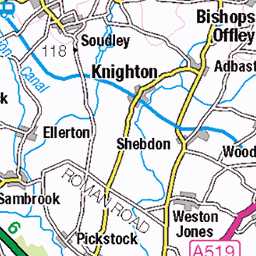
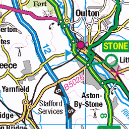
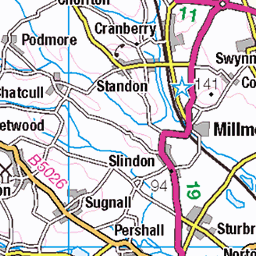
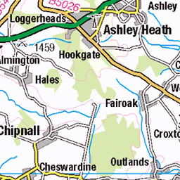
OS Map of Sedgley Beacon (boundary)
Height: 232m / 761ft • Prominence: 0m / 0ft • Summit : fence at NE corner of comms compound • Trip reports (hill-bagging)

2025-02-11-1
01-Apr-25 • Beautiful Wife, Beautiful Life • flickr
wife beautiful brunette love petite portrait sensual gorgeous greeneyes elegant natural married beauty feminine 54424930746

20200326_163539_03F240B7-4561-4067-9AAA-2E81356F0135
29-Mar-25 • Beautiful Wife, Beautiful Life • flickr
wife beautiful brunette love petite portrait sensual gorgeous greeneyes elegant natural married beauty feminine 54417472557

11
Wolverhampton District Electric Tramways Limited 11, an Electric Railway & Tramway Carriage Works Limited with a The J.G. Brill Company 21E truck, two The British Thomson-Houston Company Limited GE800 25 horsepower motors and The British Thomson-Houston Company Limited controllers with an Electric Railway & Tramway Carriage Works Limited O23/22R body stands on the Bull Ring at Sedgley with a southbound service Note, 11 was built in 1900 or 1901 fitted with either B3 or B18 controllers Ref no Tram02197
04-Jan-25 • Ingy The Wingy • flickr
54246475200

The Jungle Room at The Beacon Hotel 🍺
sedgley black country pub beacon hotel england mercia midlands great britain snow snowy winter november yule 54269710737


National Express West Midlands Bus 6787 (SN66 WCL) in Coseley on a route 8
30-Oct-23 • KiteRoseton • flickr
53305882195
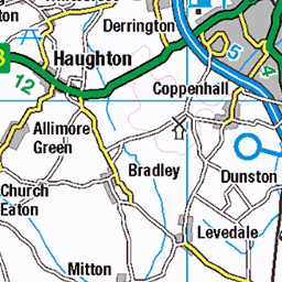
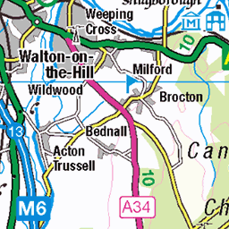
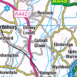
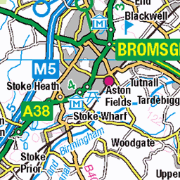
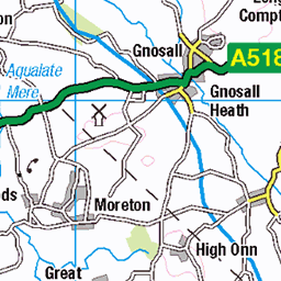
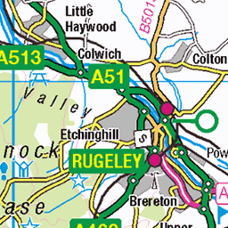
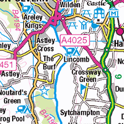
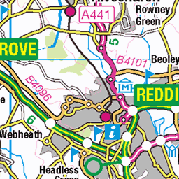
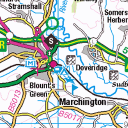
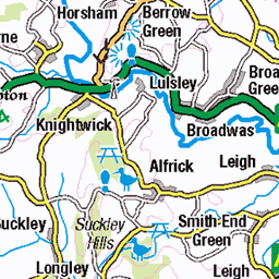
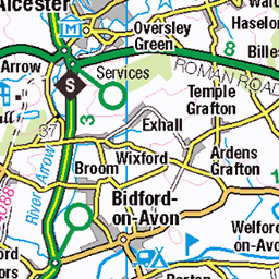
OS Map
This is OS mapping. In some areas, OpenStreetMap shows more footpaths
Spatial NI has online OSNI mapping. Click "Basemap Gallery" (4 squares icon at the top).
Now would be a good time for a cup of tea.
GPX Editor
Record map clicks
Reload map
Photos
Please tag your photos and upload them to the British and Irish Mountains group on Flickr
The other photos have been geo-tagged as on or around the summit. For less busy mountains, it can be a little hit and miss.
2025-02-11-1
01-Apr-25 • Beautiful Wife, Beautiful Life • flickr
wife beautiful brunette love petite portrait sensual gorgeous greeneyes elegant natural married beauty feminine 54424930746
20200326_163539_03F240B7-4561-4067-9AAA-2E81356F0135
29-Mar-25 • Beautiful Wife, Beautiful Life • flickr
wife beautiful brunette love petite portrait sensual gorgeous greeneyes elegant natural married beauty feminine 54417472557
11
Wolverhampton District Electric Tramways Limited 11, an Electric Railway & Tramway Carriage Works Limited with a The J.G. Brill Company 21E truck, two The British Thomson-Houston Company Limited GE800 25 horsepower motors and The British Thomson-Houston Company Limited controllers with an Electric Railway & Tramway Carriage Works Limited O23/22R body stands on the Bull Ring at Sedgley with a southbound service Note, 11 was built in 1900 or 1901 fitted with either B3 or B18 controllers Ref no Tram02197
04-Jan-25 • Ingy The Wingy • flickr
54246475200
The Jungle Room at The Beacon Hotel 🍺
sedgley black country pub beacon hotel england mercia midlands great britain snow snowy winter november yule 54269710737
National Express West Midlands Bus 6787 (SN66 WCL) in Coseley on a route 8
30-Oct-23 • KiteRoseton • flickr
53305882195

Sedgley Beacon 2
The tower was erected in 1846 by Lord Wrottesley for astronomy. It stands on the site of an earlier tower, which sits on the spot of the original beacon.
dudley grade2 gradeii listed building sedgley beacon tower 52925191552

2025-02-11-3
03-Jan-20 • Beautiful Wife, Beautiful Life • flickr
wife beautiful brunette love petite portrait sensual gorgeous greeneyes elegant natural married beauty feminine 54425182693

wmids - bull ring sedgley postcard
01-Jan-90 • johnmightycat1 • flickr
postcard westmidlands 54201692328

wmids - dudley street sedgley postcard
01-Jan-90 • johnmightycat1 • flickr
postcard westmidlands 54201875145
Videos
None found
Notes
- Data: Database of British and Irish Hills v18.2
- Maps: We use OS mapping for England, Scotland, Wales, and the Isle of Man. Sadly, Channel Islands, Northern (OSNI) and Southern Ireland (OSI) mapping isn't available online, so we use Openstreetmap.