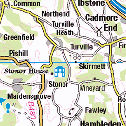
Hills of Britain and Ireland
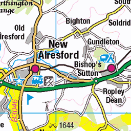
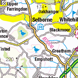
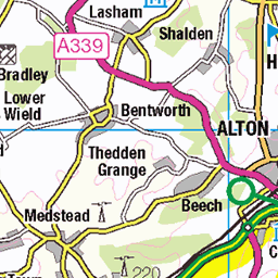
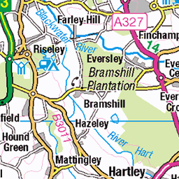
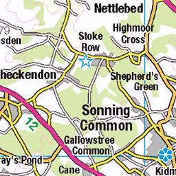
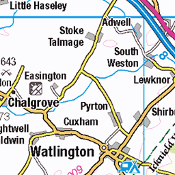
OS Map of Bembridge Down
Height: 105m / 344ft • Prominence: 101m / 331ft • Summit : no feature: ground by security fence on SE side of fort • Trip reports (hill-bagging)

South eastern Isle of Wight
Bembridge Fort information boards
15-Sep-24 • devonandrew • flickr
approved 54081236167


South eastern Isle of Wight
The Lord Yarborough Monument information board
15-Sep-24 • devonandrew • flickr
review 54082571465

South eastern Isle of Wight
The Lord Yarborough Monument
15-Sep-24 • devonandrew • flickr
approved 54082437364

South eastern Isle of Wight
Crest on the Lord Yarborough Monument
15-Sep-24 • devonandrew • flickr
approved 54082436909

South eastern Isle of Wight
Inscription on the Lord Yarborough Monument
15-Sep-24 • devonandrew • flickr
approved 54082360538
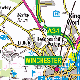
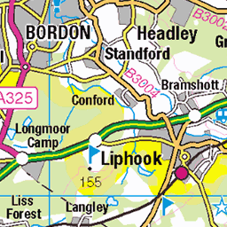
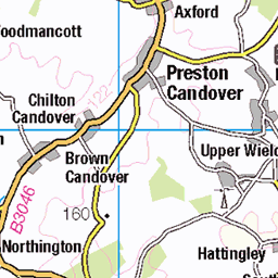
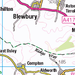
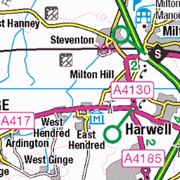
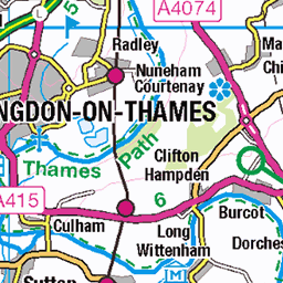
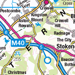
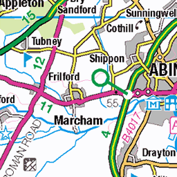
OS Map
This is OS mapping. In some areas, OpenStreetMap shows more footpaths
Spatial NI has online OSNI mapping. Click "Basemap Gallery" (4 squares icon at the top).
Now would be a good time for a cup of tea.


GPX Editor
Record map clicks
Reload map
Photos
Please tag your photos and upload them to the British and Irish Mountains group on Flickr
The other photos have been geo-tagged as on or around the summit. For less busy mountains, it can be a little hit and miss.
South eastern Isle of Wight
Bembridge Fort information boards
15-Sep-24 • devonandrew • flickr
approved 54081236167
South eastern Isle of Wight
The Lord Yarborough Monument information board
15-Sep-24 • devonandrew • flickr
review 54082571465
South eastern Isle of Wight
The Lord Yarborough Monument
15-Sep-24 • devonandrew • flickr
approved 54082437364
South eastern Isle of Wight
Crest on the Lord Yarborough Monument
15-Sep-24 • devonandrew • flickr
approved 54082436909
South eastern Isle of Wight
Inscription on the Lord Yarborough Monument
15-Sep-24 • devonandrew • flickr
approved 54082360538

South eastern Isle of Wight
Bembridge Airfield, with Portsmouth and Southsea in the distance from from Culver Down
15-Sep-24 • devonandrew • flickr
approved 54081235527


A Walk Along The Beach
Whitecliff Bay Isle of Wight UK, 1934
isleofwight 1930s 1934 seaside vintagephoto vintage vintagepicture lady beachsnap vintagelady foundatcarboot facb den4us dmi dennismorganimages historicphoto hampshire 54208721553
Videos
Marek Larwood goes on a walk around Bembridge and Culver Down, as featured in Country Walking Magazine. Taking in the ...
Pilotage directions for sailing into Bembridge Harbour, Isle of Wight. The footage starts at No mans land fort, on the way towards St ...
isleofwight #virtualwalk #kittikoko - - - - - - - - - - kittikoko - Isle of Wight tourist attractions, virtual walks, bus ride POVs, hovercraft ...
an old land slip at bembridge down,isle of wight.
Notes
- Data: Database of British and Irish Hills v18.2
- Maps: We use OS mapping for England, Scotland, Wales, and the Isle of Man. Sadly, Channel Islands, Northern (OSNI) and Southern Ireland (OSI) mapping isn't available online, so we use Openstreetmap.