Hills of Britain and Ireland
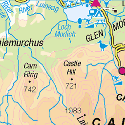
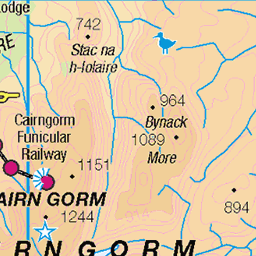
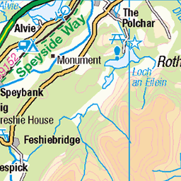
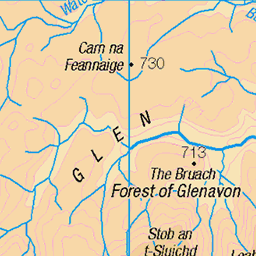
OS Map of Stob Coire an t-Saighdeir

Lochan Uaine
Looking down into the corrie below Sgor an Lochain Uaine (The Angel's Peak) and Cairn Toul in the Cairngorms. The dark valley on the very right is the Lairig Ghru below Ben Macdui.
09-Sep-23 • OutdoorMonkey • flickr
sgoranlochainuaine lochainuaine cairngorms scotland outside outdoor rural nature natural scenic scenery countryside remote wild wilderness lake loch lochan rock rocks boulder rocky coire corrie cloud 53208569397

photo
Cairn Toul from the plateau moorland to the south of Sgor an Lochain Uaine (The Angel's Peak) in the Cairngorms.
09-Sep-23 • OutdoorMonkey • flickr
scotland cairngorms outside outdoor rural nature natural scenic scenery countryside plateau wild wilderness remote mountain mountainside moor moorland munro 53209652708

Falls Of Dee
The Falls of Dee near the source of the River Dee high on the western plateau of the Cairngorms near Braeriach.
17-Jul-20 • Russell-Davies • flickr
fallsofdee braeriach angelspeak cairngorms nationalpark landscape mountains munro highlands uk scotland canon 6dmkii snow summer corrie riverdee source 50316848263

Angel's Peak
Resting on the rocky summit of Sgor an Lochain Uaine (also known as Angel's Peak).
17-Jul-20 • Russell-Davies • flickr
angelspeak cairngorms summit summer mountain landscape boulderfield cairn nationalpark rocks canon 6dmkii uk scotland highlands sgoranlochainuaine 50321491082


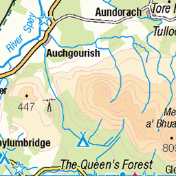
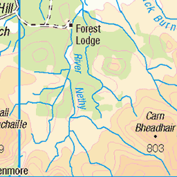
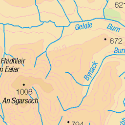
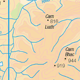
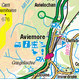
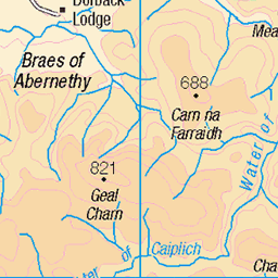
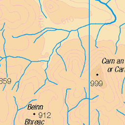
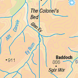
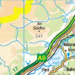
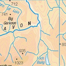
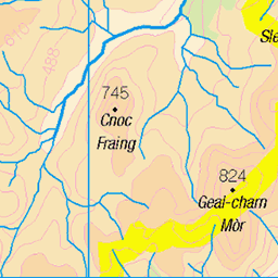
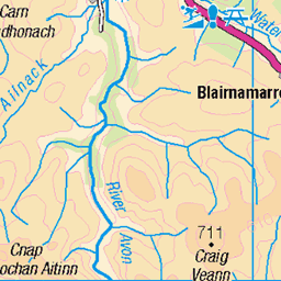
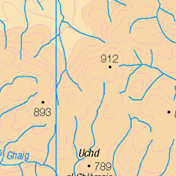
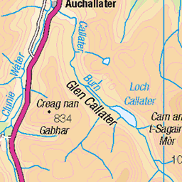
OS Map
This is OS mapping. In some areas, OpenStreetMap shows more footpaths
Spatial NI has online OSNI mapping. Click "Basemap Gallery" (4 squares icon at the top).
Now would be a good time for a cup of tea.
GPX Editor
Record map clicks
Reload map
Photos
Please tag your photos and upload them to the British and Irish Mountains group on Flickr
The other photos have been geo-tagged as on or around the summit. For less busy mountains, it can be a little hit and miss.
Lochan Uaine
Looking down into the corrie below Sgor an Lochain Uaine (The Angel's Peak) and Cairn Toul in the Cairngorms. The dark valley on the very right is the Lairig Ghru below Ben Macdui.
09-Sep-23 • OutdoorMonkey • flickr
sgoranlochainuaine lochainuaine cairngorms scotland outside outdoor rural nature natural scenic scenery countryside remote wild wilderness lake loch lochan rock rocks boulder rocky coire corrie cloud 53208569397
photo
Cairn Toul from the plateau moorland to the south of Sgor an Lochain Uaine (The Angel's Peak) in the Cairngorms.
09-Sep-23 • OutdoorMonkey • flickr
scotland cairngorms outside outdoor rural nature natural scenic scenery countryside plateau wild wilderness remote mountain mountainside moor moorland munro 53209652708
Falls Of Dee
The Falls of Dee near the source of the River Dee high on the western plateau of the Cairngorms near Braeriach.
17-Jul-20 • Russell-Davies • flickr
fallsofdee braeriach angelspeak cairngorms nationalpark landscape mountains munro highlands uk scotland canon 6dmkii snow summer corrie riverdee source 50316848263
Angel's Peak
Resting on the rocky summit of Sgor an Lochain Uaine (also known as Angel's Peak).
17-Jul-20 • Russell-Davies • flickr
angelspeak cairngorms summit summer mountain landscape boulderfield cairn nationalpark rocks canon 6dmkii uk scotland highlands sgoranlochainuaine 50321491082


Videos
Cairn Toul - Braeriach Traverse..... plus! Cairn Toul - Braeriach traverse. Braeriach, Cairn Toul, Sgòr an Lochain Uaine, The ...
C A I R N T O U L & A N G E L ' S P E A K... 12 Miles from civilisation in all directions. Coming off Cairn Toul (1291m) - The UK's ...
Notes
- Data: Database of British and Irish Hills v18.2
- Maps: We use OS mapping for England, Scotland, Wales, and the Isle of Man. Sadly, Channel Islands, Northern (OSNI) and Southern Ireland (OSI) mapping isn't available online, so we use Openstreetmap.