Hills of Britain and Ireland
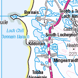
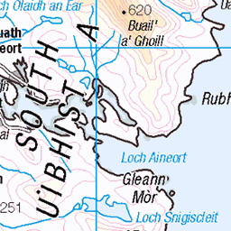
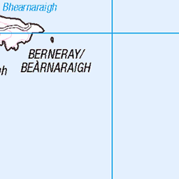
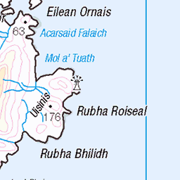
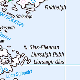
OS Map of Fuidheigh (Fuiay)
Height: 107m / 351ft • Prominence: 107m / 351ft • Summit : grassy knoll 14m W of trig point • Trip reports (hill-bagging)


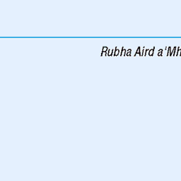
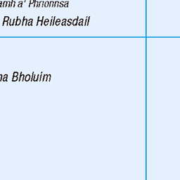
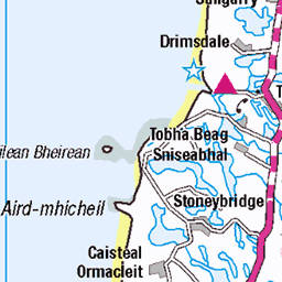
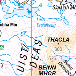
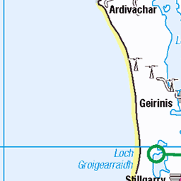
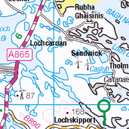
OS Map
This is OS mapping. In some areas, OpenStreetMap shows more footpaths
Spatial NI has online OSNI mapping. Click "Basemap Gallery" (4 squares icon at the top).
Now would be a good time for a cup of tea.


GPX Editor
Record map clicks
Reload map
Photos
Please tag your photos and upload them to the British and Irish Mountains group on Flickr
The other photos have been geo-tagged as on or around the summit. For less busy mountains, it can be a little hit and miss.

Yellow Shell
03-Jun-16 • Odd Wellies • flickr
scotland unitedkingdom moth barra yellowshell nf7301 27882379962
![4982 Fuidheigh [Fuiay] 1](https://live.staticflickr.com/2937/14027121000_70269f08d2.jpg)
4982 Fuidheigh [Fuiay] 1
Seven on an island with Anne, Eric, Iain, Jim, Martin and Smudge to see a pair of sea eagles, an otter and some fast feral sheep. Name:Fuidheigh [Fuiay] Hill number:4982 Height:107m / 351ft Parent (Ma/M):none Area:24D: Barra to Barra Head Class:Hu,1 Grid ref: NF 74051 02260 Summit feature:grassy knoll 14m W of trig point Drop:107m Col:Sea
07-May-14 • Dugswell2 • flickr
barra hump fuidheigh fuiay 14027121000
![4982 Fuidheigh [Fuiay]](https://live.staticflickr.com/2931/14233897273_292cd80977.jpg)
4982 Fuidheigh [Fuiay]
Seven on an island with Anne, Eric, Iain, Jim, Martin and Smudge to see a pair of sea eagles, an otter and some fast feral sheep. Name:Fuidheigh [Fuiay] Hill number:4982 Height:107m / 351ft Parent (Ma/M):none Area:24D: Barra to Barra Head Class:Hu,1 Grid ref: NF 74051 02260 Summit feature:grassy knoll 14m W of trig point Drop:107m Col:Sea
07-May-14 • Dugswell2 • flickr
hump trigpoint p107 fuidheigh fuiay 14233897273

Videos
None found
Notes
- Data: Database of British and Irish Hills v18.2
- Maps: We use OS mapping for England, Scotland, Wales, and the Isle of Man. Sadly, Channel Islands, Northern (OSNI) and Southern Ireland (OSI) mapping isn't available online, so we use Openstreetmap.