Hills of Britain and Ireland
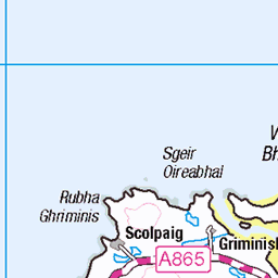
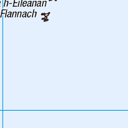
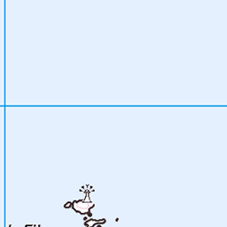
OS Map of Lianamuil (Lianamul)
Height: 112m / 367ft • Prominence: 112m / 367ft • Summit : boulder near cliff edge • Trip reports (hill-bagging)


Today we found the comfiest spot in the world
Couldn't believe how quickly the time passed. It was all over too soon and we had to head back to the boat.
09-Aug-17 • We travel the Spaceways • flickr
36523909962
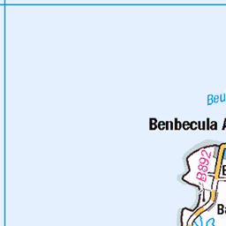
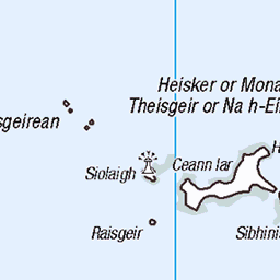
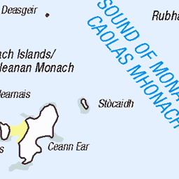
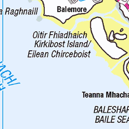
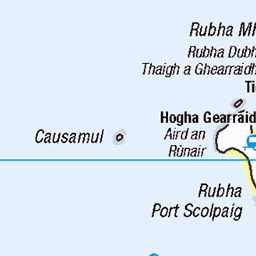
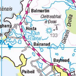
OS Map
This is OS mapping. In some areas, OpenStreetMap shows more footpaths
Spatial NI has online OSNI mapping. Click "Basemap Gallery" (4 squares icon at the top).
Now would be a good time for a cup of tea.


GPX Editor
Record map clicks
Reload map
Photos
Please tag your photos and upload them to the British and Irish Mountains group on Flickr
The other photos have been geo-tagged as on or around the summit. For less busy mountains, it can be a little hit and miss.
Today we found the comfiest spot in the world
Couldn't believe how quickly the time passed. It was all over too soon and we had to head back to the boat.
09-Aug-17 • We travel the Spaceways • flickr
36523909962

The deserted houses of Mingulay village
Slowly being covered by sand since the island was abandoned in 1912.
09-Aug-17 • We travel the Spaceways • flickr
36298275460


Videos
None found
Notes
- Data: Database of British and Irish Hills v18.2
- Maps: We use OS mapping for England, Scotland, Wales, and the Isle of Man. Sadly, Channel Islands, Northern (OSNI) and Southern Ireland (OSI) mapping isn't available online, so we use Openstreetmap.