Hills of Britain and Ireland
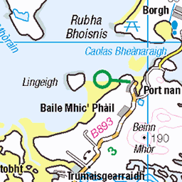
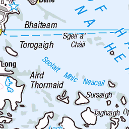
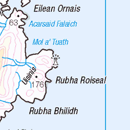
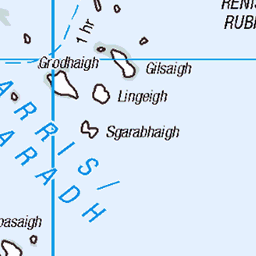
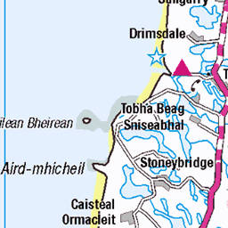
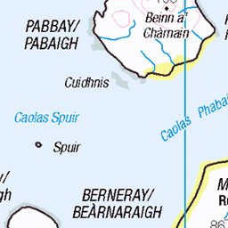
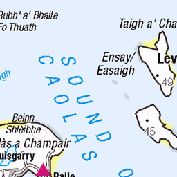
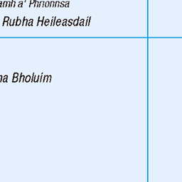
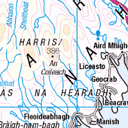
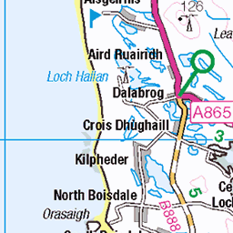
OS Map of Beinn a' Charnain
Height: 115m / 377ft • Prominence: 115m / 377ft • Summit : rock next to trig point • Trip reports (hill-bagging)


Charlie Stewart
17-Feb-22 • Donald Morrison • flickr
grimsay northuist people friends community charliestewart tearlachsheonaidhruaidh 51887655080


Golden Eagle at Kallin Harbour
18-Oct-20 • duncan_ireland • flickr
kallin harbour kallinharbour ceallan ceallanharbour golden eagle goldeneagle aquila chrysaetos aquilachrysaetos 50532446747
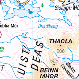
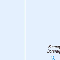
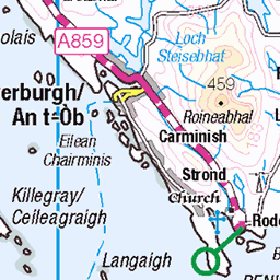
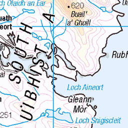
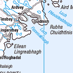
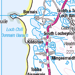
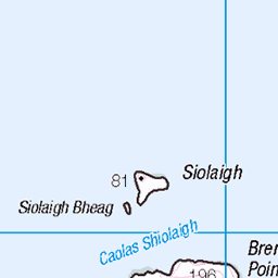
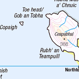
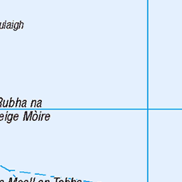
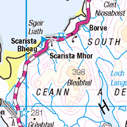
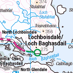
OS Map
This is OS mapping. In some areas, OpenStreetMap shows more footpaths
Spatial NI has online OSNI mapping. Click "Basemap Gallery" (4 squares icon at the top).
Now would be a good time for a cup of tea.


GPX Editor
Record map clicks
Reload map
Photos
Please tag your photos and upload them to the British and Irish Mountains group on Flickr
The other photos have been geo-tagged as on or around the summit. For less busy mountains, it can be a little hit and miss.
Charlie Stewart
17-Feb-22 • Donald Morrison • flickr
grimsay northuist people friends community charliestewart tearlachsheonaidhruaidh 51887655080
Golden Eagle at Kallin Harbour
18-Oct-20 • duncan_ireland • flickr
kallin harbour kallinharbour ceallan ceallanharbour golden eagle goldeneagle aquila chrysaetos aquilachrysaetos 50532446747

Bàgh Clann Nèill from Kallin Harbour
18-Oct-20 • duncan_ireland • flickr
kallin harbour kallinharbour ceallan ceallanharbour bàgh clann nèill bàghclannnèill baghclannneill bagh clan neill 50532447217

Katie and Murdo Macleod - Kallin
13-Nov-18 • Donald Morrison • flickr
uist grimsay northuist 51885113567

Jean Stewart
28-May-16 • Donald Morrison • flickr
grimsay northuist people friends community jeanstewart kallinprimaryschool 51887398789

Glendale, Kallin
26-May-16 • Donald Morrison • flickr
grimsay northuist people friends community glendalekallin 51887725775
Videos
None found
Notes
- Data: Database of British and Irish Hills v18.2
- Maps: We use OS mapping for England, Scotland, Wales, and the Isle of Man. Sadly, Channel Islands, Northern (OSNI) and Southern Ireland (OSI) mapping isn't available online, so we use Openstreetmap.