Hills of Britain and Ireland
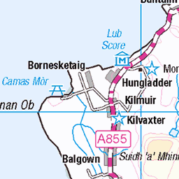
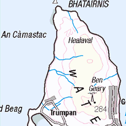
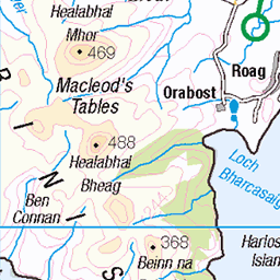
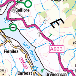
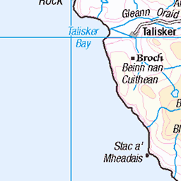
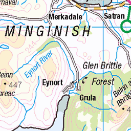
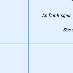
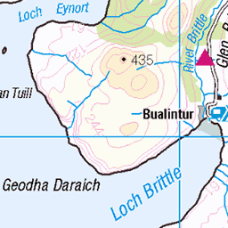
OS Map of Trolamul (Trollamul)
Height: 335m / 1099ft • Prominence: 102m / 335ft • Summit : small cairn • Trip reports (hill-bagging)


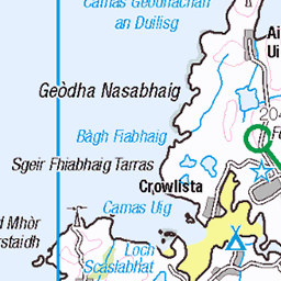
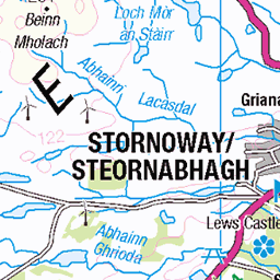
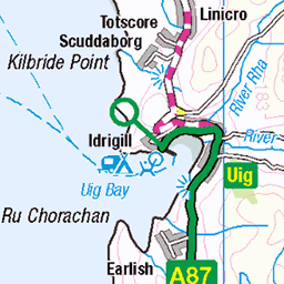
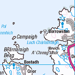
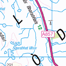
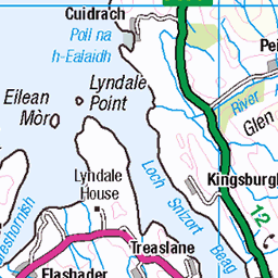
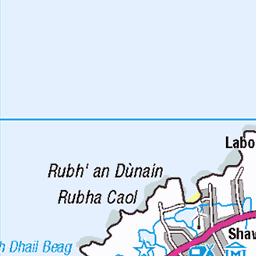
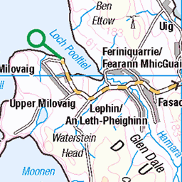
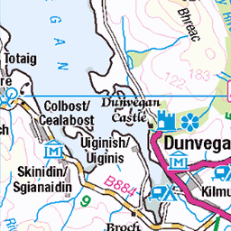
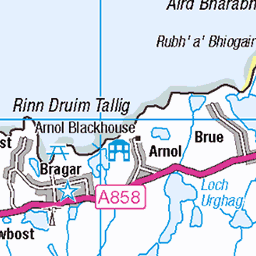
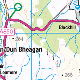
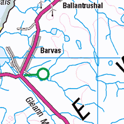
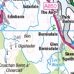
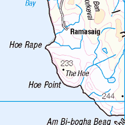
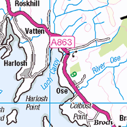
OS Map
This is OS mapping. In some areas, OpenStreetMap shows more footpaths
Spatial NI has online OSNI mapping. Click "Basemap Gallery" (4 squares icon at the top).
Now would be a good time for a cup of tea.


GPX Editor
Record map clicks
Reload map
Photos
Please tag your photos and upload them to the British and Irish Mountains group on Flickr
The other photos have been geo-tagged as on or around the summit. For less busy mountains, it can be a little hit and miss.


![4961 Trollamul [Trolamul]](https://live.staticflickr.com/5518/10250689245_8f8158d358.jpg)
4961 Trollamul [Trolamul]
Reinigeadal track to bealach then up to summit with Jim Bloomer, Martin Richardson and Michael Earnshaw. Name:Trollamul [Trolamul] Hill number:4961 Height:335m / 1099ft Area:24B: Harris and Nearby Islands Class:Hu,3 Grid ref: NB 20038 01328 Summit feature:small pile of stones Drop:102m Col:233m NB197021
16-Sep-13 • Dugswell2 • flickr
hump isleofharris p102 trollamultrolamul 10250689245

The Hills of Harris from Trolamul
15-May-12 • tomrichardson931 • flickr
offthebeatentrack clisham landscape rugged wildness beinnnateanga mountains goromul outdoor hills moors picturesque westernisles molinginish countryside isleofharris desolate alba harris glenlaxadale moorland scenic trolamul scotland scene remote europe uk outerhebrides unitedkingdom gb 35088507961

photo
09-Apr-12 • Marie-Laure Even • flickr
spring landscape highlands nature rhenigidaletrail hike lewisharris sea wild scotland ocean travel roadtrip mountain coast nikond5000 2012 marielaureeven europe wilderness april alba avril britishisles côte eu ecossais ecossaise ecosse fjall lewisandharris lewisetharris leòdhasagusnahearadh mer montagne outerhebrides paysage printemps scottish uk unitedkingdom voyage гора природа шотландия rhenigidale royaumeuni isleofharris 50669715322
Videos
None found
Notes
- Data: Database of British and Irish Hills v18.2
- Maps: We use OS mapping for England, Scotland, Wales, and the Isle of Man. Sadly, Channel Islands, Northern (OSNI) and Southern Ireland (OSI) mapping isn't available online, so we use Openstreetmap.