Hills of Britain and Ireland
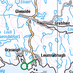
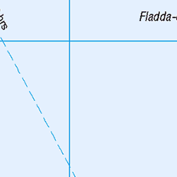
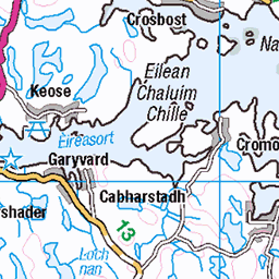
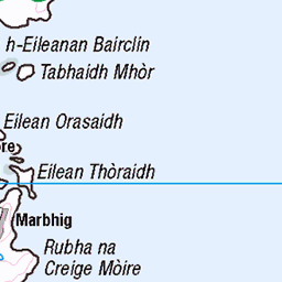
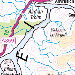
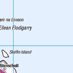
OS Map of Eilean an Taighe (Eilean an Tighe)


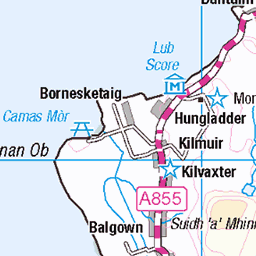
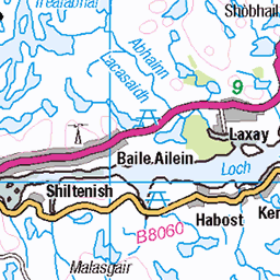
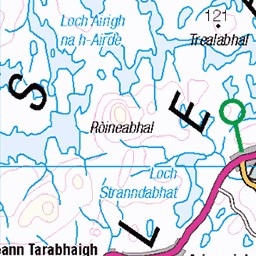
OS Map
This is OS mapping. In some areas, OpenStreetMap shows more footpaths
Spatial NI has online OSNI mapping. Click "Basemap Gallery" (4 squares icon at the top).
Now would be a good time for a cup of tea.


GPX Editor
Record map clicks
Reload map
Photos
Please tag your photos and upload them to the British and Irish Mountains group on Flickr
The other photos have been geo-tagged as on or around the summit. For less busy mountains, it can be a little hit and miss.


![4954 Eilean an Tighe [Eilean an Taighe]](https://live.staticflickr.com/7362/10273289665_5eaefe169b.jpg)
4954 Eilean an Tighe [Eilean an Taighe]
Climbed with Andy, Jonathan and Bob on an island trip organised by Alan Holmes. Name:Eilean an Tighe [Eilean an Taighe] Hill number:4954 Height:125m / 410ft Area:24A: Lewis and Nearby Islands Class:Hu,1 Grid ref:NG422970 (est) Drop:123m Col:2m NG418978
24-Sep-13 • Dugswell2 • flickr
hump p123 eileanantigheeileanantaighe 10273289665
Videos
None found
Notes
- Data: Database of British and Irish Hills v18.2
- Maps: We use OS mapping for England, Scotland, Wales, and the Isle of Man. Sadly, Channel Islands, Northern (OSNI) and Southern Ireland (OSI) mapping isn't available online, so we use Openstreetmap.