Hills of Britain and Ireland
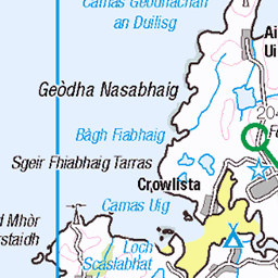
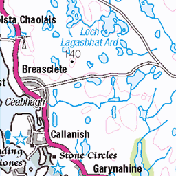
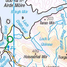
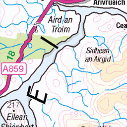
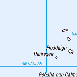
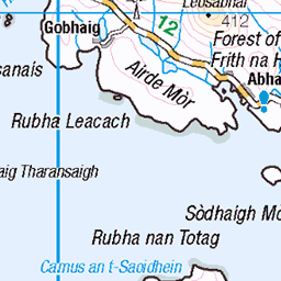
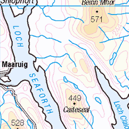
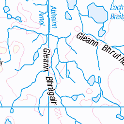
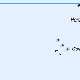
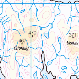
OS Map of Coltraiseal Beag (Caultrashal Beag)

Kinlochroag
Isle of Lewis, Outer Hebrides, Scotland.
07-Jul-23 • Egon Abresparr • flickr
hebrides lewis road signpost 53173359058

Grimersta
Isle of Lewis, Outer Hebrides, Scotland.
07-Jul-23 • Egon Abresparr • flickr
hebrides lewis road sky 53172853386

Grimersta
Isle of Lewis, Outer Hebrides, Scotland.
07-Jul-23 • Egon Abresparr • flickr
hebrides lewis road sky 53171372571


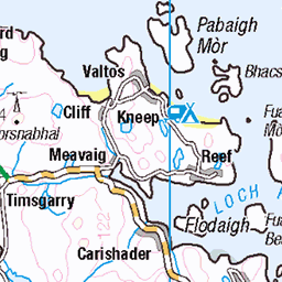
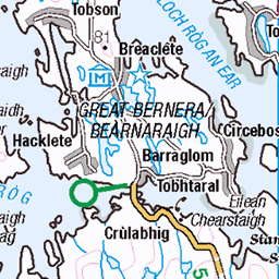
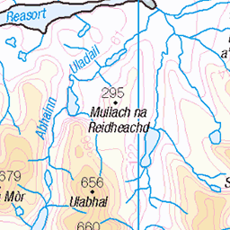
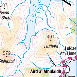
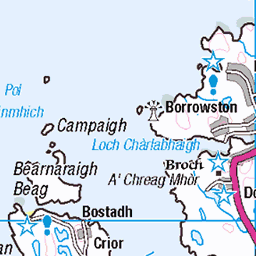
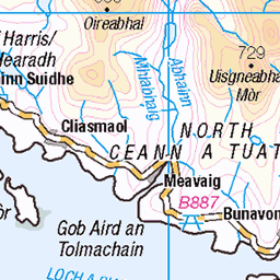
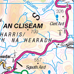
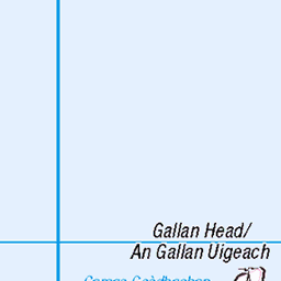
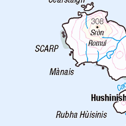
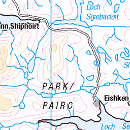
OS Map
This is OS mapping. In some areas, OpenStreetMap shows more footpaths
Spatial NI has online OSNI mapping. Click "Basemap Gallery" (4 squares icon at the top).
Now would be a good time for a cup of tea.


GPX Editor
Record map clicks
Reload map
Photos
Please tag your photos and upload them to the British and Irish Mountains group on Flickr
The other photos have been geo-tagged as on or around the summit. For less busy mountains, it can be a little hit and miss.
Kinlochroag
Isle of Lewis, Outer Hebrides, Scotland.
07-Jul-23 • Egon Abresparr • flickr
hebrides lewis road signpost 53173359058
Grimersta
Isle of Lewis, Outer Hebrides, Scotland.
07-Jul-23 • Egon Abresparr • flickr
hebrides lewis road sky 53172853386
Grimersta
Isle of Lewis, Outer Hebrides, Scotland.
07-Jul-23 • Egon Abresparr • flickr
hebrides lewis road sky 53171372571


Hebridean Dreamscape
Fifteen minutes earlier I had been pulling on the lines of the wing, asking it to fly over my head and take me off my feet. It was so hot in the almost calm air at top of the hill that I didn't even bother putting on a coat; somehow I didn't think the day was working. Five minutes later, as I pushed further out the front of the hill, slowly sacrificing each metre that I'd walked up the hill, that assessment seemed fair, then the glider pulls a little to the right, I go with it, ride the first few seconds of lift as I soar through the centre of the thermal that I've stumbled in to, wait a second more, the lean and crank left. Three turns later, I'm looking level at launch; the few metres' sacrifice seems to be worth it. Now I'm a thousand metres above that little hill I tentatively ran off, cutting through the whispy edges of a cloud. Almost a mile below, the clouds reflect off Loch Rog Beag. In the distance the bright sands of Traigh Uigh dazzle against the lunar landscape of Harris. Further away, through gaps in the cloud, I catch glimpses of the unmistakble profile of St Kilda to the west, and survey the Inner Hebrides and west coast of Scotland to the south and west. As I shiver from the combined cold of altitude, shade, and condensing cloud, I just wish I'd put on my coat.
05-Jul-17 • Kieran Campbell • flickr
hebrides scotland highlands lochrogbeag flying sky clouds paragliding island aerial lewis alba 42517643351
![4941 Caultrashal Beag [Coltraiseal Beag]](https://live.staticflickr.com/3759/10251066845_6f4344f28a.jpg)
4941 Caultrashal Beag [Coltraiseal Beag]
First HuMP of four today with Michael Earnshaw, Jim Bloomer and Martin Richardson in mixed weather. Name:Caultrashal Beag [Coltraiseal Beag] Hill number:4941 Height:226m / 741ft Area:24A: Lewis and Nearby Islands Class:Hu,2 Grid ref: NB149241 (est) Drop:108m Col:118m NB161233
17-Sep-13 • Dugswell2 • flickr
hump isleoflewis p108 caultrashalbeagcoltraisealbeag 10251066845
Videos
None found
Notes
- Data: Database of British and Irish Hills v18.2
- Maps: We use OS mapping for England, Scotland, Wales, and the Isle of Man. Sadly, Channel Islands, Northern (OSNI) and Southern Ireland (OSI) mapping isn't available online, so we use Openstreetmap.