Hills of Britain and Ireland
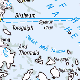
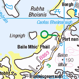
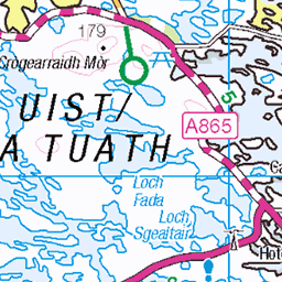
OS Map of Tamnasbhal (Tamanaisval)


Skedaddle Hebridean Explorer
Day 4: Tarbet to Callnish
31-May-18 • David Biggins • flickr
outerhebrides saddleskedaddle scotland cycling unitedkingdom gb 41024273940
![4934 Tamanaisval [Tamnasbhal]](https://live.staticflickr.com/3800/10267942525_f87786cd4d.jpg)
4934 Tamanaisval [Tamnasbhal]
First HuMP of the day with Iain Brown in wild windy weather then we headed north over 3 more with the wind behind. Cairn on rocky outcrop. Name:Tamanaisval [Tamnasbhal] Hill number:4934 Height:467m / 1532ft Area:24A: Lewis and Nearby Islands Class:Hu,4 Grid ref: NB042237 (est) Drop:108m Col:359m NB038244
20-Sep-13 • Dugswell2 • flickr
hump isleoflewis p108 tamanaisvaltamnasbhal 10267942525
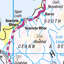
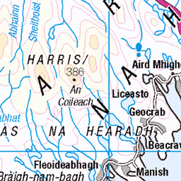
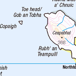
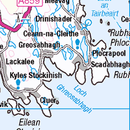
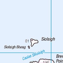
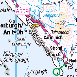
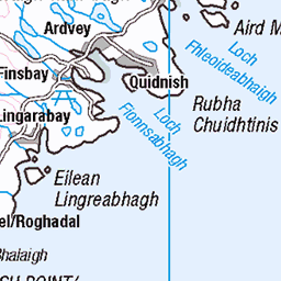
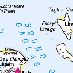
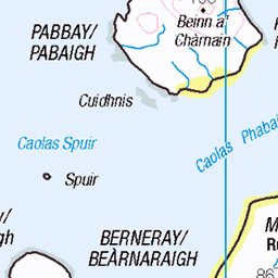
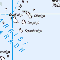
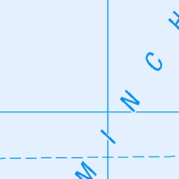
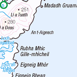
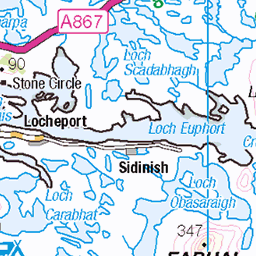
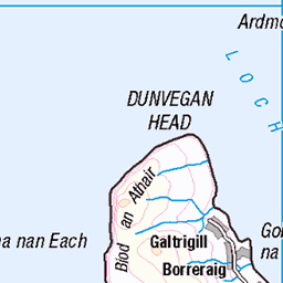
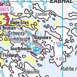
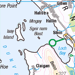
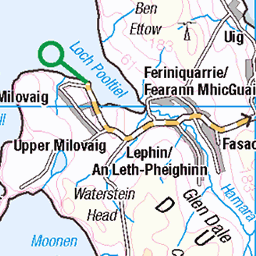
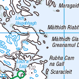
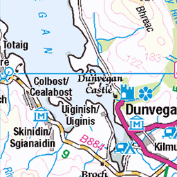
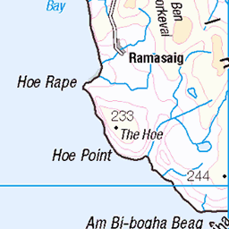
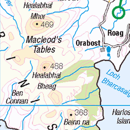
OS Map
This is OS mapping. In some areas, OpenStreetMap shows more footpaths
Spatial NI has online OSNI mapping. Click "Basemap Gallery" (4 squares icon at the top).
Now would be a good time for a cup of tea.


GPX Editor
Record map clicks
Reload map
Photos
Please tag your photos and upload them to the British and Irish Mountains group on Flickr
The other photos have been geo-tagged as on or around the summit. For less busy mountains, it can be a little hit and miss.
Skedaddle Hebridean Explorer
Day 4: Tarbet to Callnish
31-May-18 • David Biggins • flickr
outerhebrides saddleskedaddle scotland cycling unitedkingdom gb 41024273940
4934 Tamanaisval [Tamnasbhal]
First HuMP of the day with Iain Brown in wild windy weather then we headed north over 3 more with the wind behind. Cairn on rocky outcrop. Name:Tamanaisval [Tamnasbhal] Hill number:4934 Height:467m / 1532ft Area:24A: Lewis and Nearby Islands Class:Hu,4 Grid ref: NB042237 (est) Drop:108m Col:359m NB038244
20-Sep-13 • Dugswell2 • flickr
hump isleoflewis p108 tamanaisvaltamnasbhal 10267942525

The Mountains of Harris from Teinneasabhal
Exakta Varex, Ektachrome X, original 35mm slide scanned, development in Lightroom. Looking roughly SE.
11-Aug-73 • Ed Fulton • flickr
ex eileanleodhais exaktavarex film hebrides isleoflewis lewis naheileanananiar scotland teinneasabhal uk westernisles unitedkingdom ektachromee4 51953948979
Videos
None found
Notes
- Data: Database of British and Irish Hills v18.2
- Maps: We use OS mapping for England, Scotland, Wales, and the Isle of Man. Sadly, Channel Islands, Northern (OSNI) and Southern Ireland (OSI) mapping isn't available online, so we use Openstreetmap.