Hills of Britain and Ireland
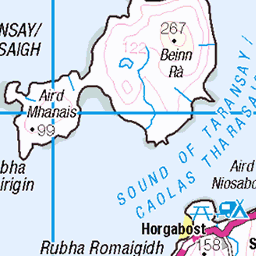
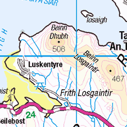
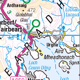
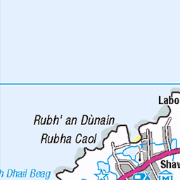
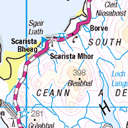
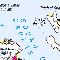
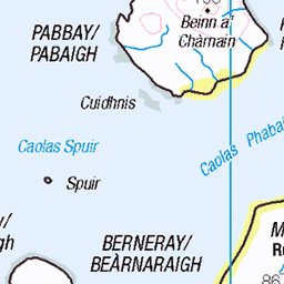
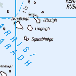
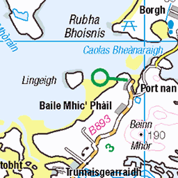
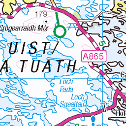
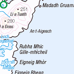
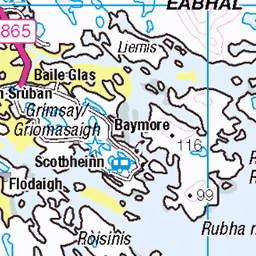
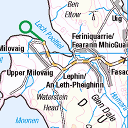
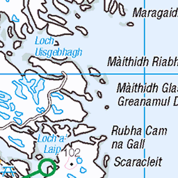
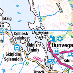
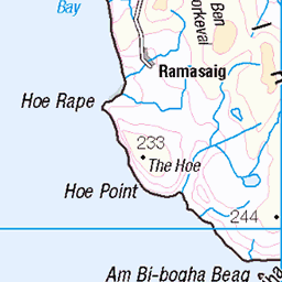
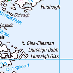
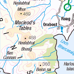
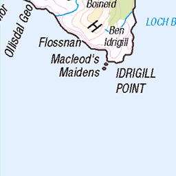
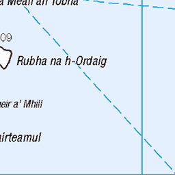
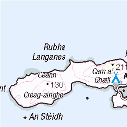
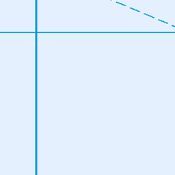
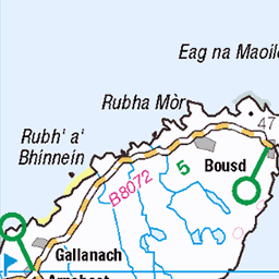
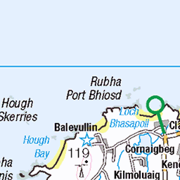
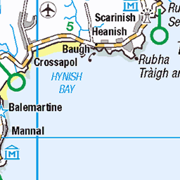
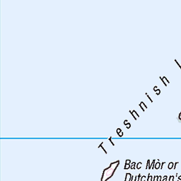
OS Map of Teinneasabhal (Teinnasval)
Height: 496m / 1628ft • Prominence: 131m / 430ft • Summit : not recorded • Trip reports (hill-bagging)


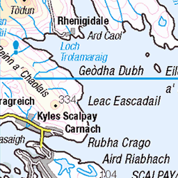
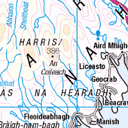
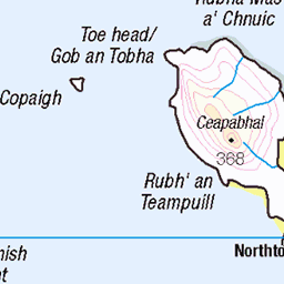
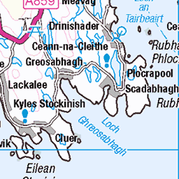
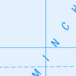
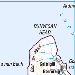
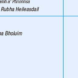
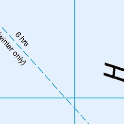
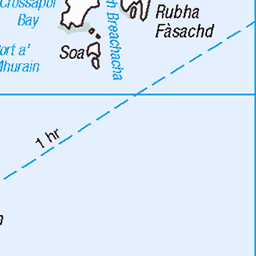
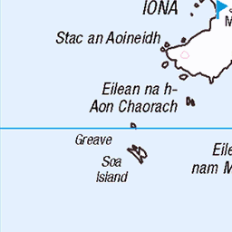
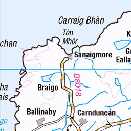
OS Map
This is OS mapping. In some areas, OpenStreetMap shows more footpaths
Spatial NI has online OSNI mapping. Click "Basemap Gallery" (4 squares icon at the top).
Now would be a good time for a cup of tea.


GPX Editor
Record map clicks
Reload map
Photos
Please tag your photos and upload them to the British and Irish Mountains group on Flickr
The other photos have been geo-tagged as on or around the summit. For less busy mountains, it can be a little hit and miss.

Skedaddle Hebridean Explorer
Day 4: Tarbet to Callnish
31-May-18 • David Biggins • flickr
outerhebrides saddleskedaddle scotland cycling unitedkingdom gb 41024273940

So much for straight . . .
The weather forecast was cloudy with scattered showers so rather than climb to a summit in the clouds we opted for a relatively long walk to a remote loch on the western coast of the Isle of Lewis. The walk is down a valley between two ridges of hills, probably quite scenic in sunshine, that ends at Loch Cheann Chuisil. We began our walk at Carnish with hints of sunshine, but a couple hours into the walk the "scattered showers" began. Unfortunately that term was slightly inaccurate as it was a wind driven rain for the next two hours! The one good point . . . the wind was at our backs :-) The walk was just over six hours, much of it in rain. The walk is also described as relatively straight with very little elevation change. So much for straight and level in this image. I used the OS app and the elevation climbed during the walk was 3441 feet over 13.8 miles. This view is of the final rise before the descent to Loch Cheann Chuisil. We did not meet another walker during the entire walk . . . apparently everyone else wanted to stay dry :-) I actually look forward to repeating this walk, only in better weather.
02-Jun-15 • Brad Eide • flickr
road rain clouds landscape scotland nikon moody hills isleoflewis outerhebrides nikon1755mmf28 carnish lochcheannchuisil 19369910215

So much for straight . . .
The weather forecast was cloudy with scattered showers so rather than climb to a summit in the clouds we opted for a relatively long walk to a remote loch on the western coast of the Isle of Lewis. The walk is down a valley between two ridges of hills, probably quite scenic in sunshine, that ends at a the Hamanavay Estate, a private 50,000-acre estate on the shore of Loch Tamnabhaig after passing Loch Cheann Chuisil. We began our walk at Carnish with hints of sunshine, but a couple hours into the walk the "scattered showers" began. Unfortunately, that term was slightly inaccurate as it was a wind driven rain for the next two hours! The one good point . . . the wind was at our backs :-) The walk was just over six hours, much of it in rain. The walk is also described as relatively straight with very little elevation change. So much for straight and level in this image. I used the OS app and the net elevation climbed during the walk was 3441 feet over 13.8 miles. This view is of the final rise before the descent to Loch Tamnabhaigh. We did not meet another walker during the entire walk . . . apparently everyone else wanted to stay dry :-) Best viewed Large (L)
02-Jun-15 • Brad Eide • flickr
outerhebrides scotland isleoflewis lochcheannchuisil carnish remote squareformat landscape overcast rain wind bradeide nikon d7100 lochtamnabhaigh hamanavayhouse 53520048764
![4933 Teinnasval [Teinneasabhal]](https://live.staticflickr.com/5340/10267953165_c8b04420d0.jpg)
4933 Teinnasval [Teinneasabhal]
Second HuMP on a windy day with Iain Brown. Aim right for less steep ground for the descent. Name:Teinnasval [Teinneasabhal] Hill number:4933 Height:497m / 1631ft Area:24A: Lewis and Nearby Islands Class:Hu,4 Grid ref: NB040253 (est) Drop:131m Col:366m NB043258
20-Sep-13 • Dugswell2 • flickr
hump isleoflewis p131 teinnasvalteinneasabhal 10267953165

The Mountains of Harris from Teinneasabhal
Exakta Varex, Ektachrome X, original 35mm slide scanned, development in Lightroom. Looking roughly SE.
11-Aug-73 • Ed Fulton • flickr
ex eileanleodhais exaktavarex film hebrides isleoflewis lewis naheileanananiar scotland teinneasabhal uk westernisles unitedkingdom ektachromee4 51953948979
Videos
None found
Notes
- Data: Database of British and Irish Hills v18.2
- Maps: We use OS mapping for England, Scotland, Wales, and the Isle of Man. Sadly, Channel Islands, Northern (OSNI) and Southern Ireland (OSI) mapping isn't available online, so we use Openstreetmap.