Hills of Britain and Ireland
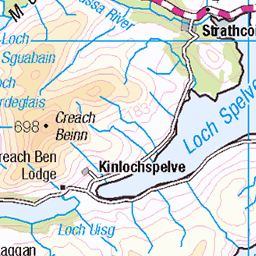
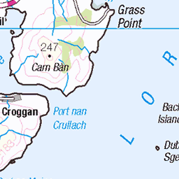
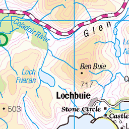
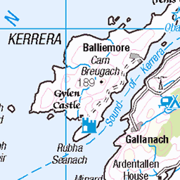
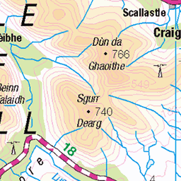
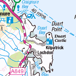
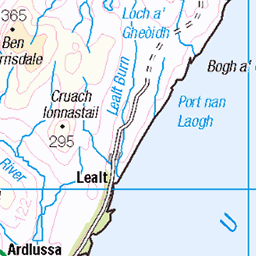
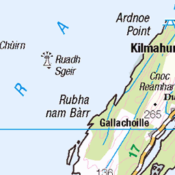
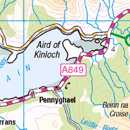
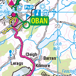
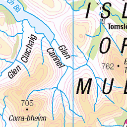
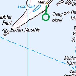
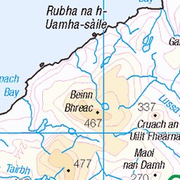
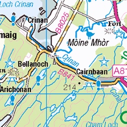
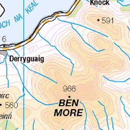
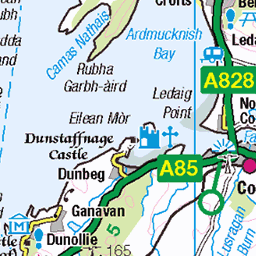
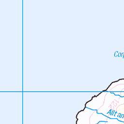
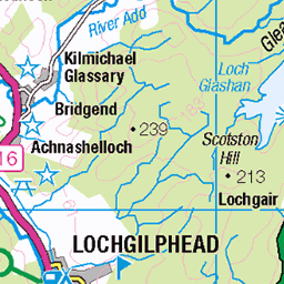
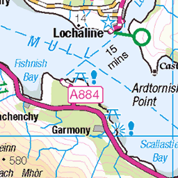
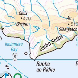
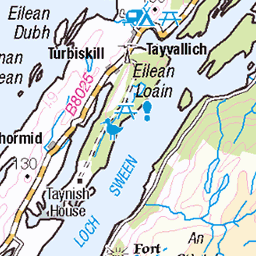
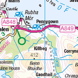
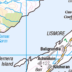
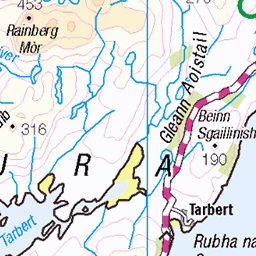
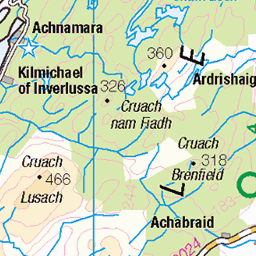
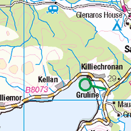
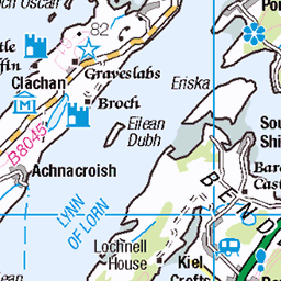
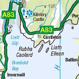
OS Map of Garbh Eileach


OS Map
This is OS mapping. In some areas, OpenStreetMap shows more footpaths
Spatial NI has online OSNI mapping. Click "Basemap Gallery" (4 squares icon at the top).
Now would be a good time for a cup of tea.


GPX Editor
Record map clicks
Reload map
Photos
Please tag your photos and upload them to the British and Irish Mountains group on Flickr
The other photos have been geo-tagged as on or around the summit. For less busy mountains, it can be a little hit and miss.


Videos
Tour Scotland travel video clip, with Scottish music, of a beehive shaped double cell on Eileach an Naoimh Island on ancestry visit ...
It was almost the end of September ..and the forecast indicated a few days on "Indian Summer" so I took the boat back to the Oban ...
In this Video I travel to Loch Buie on Mull before returning to the Garvallach Islands then explore the Black Islands and the Slate ...
This video was taken on the 13th of September in the Firth of Lorne on the way to the Garvellachs, never seen such large dolphins ...
Notes
- Data: Database of British and Irish Hills v18.2
- Maps: We use OS mapping for England, Scotland, Wales, and the Isle of Man. Sadly, Channel Islands, Northern (OSNI) and Southern Ireland (OSI) mapping isn't available online, so we use Openstreetmap.