Hills of Britain and Ireland
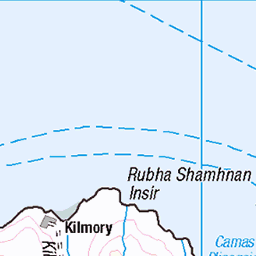
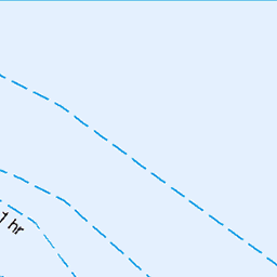
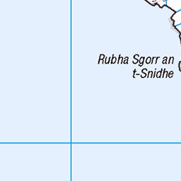
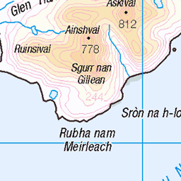
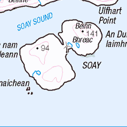
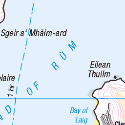
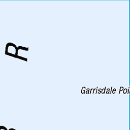
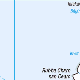
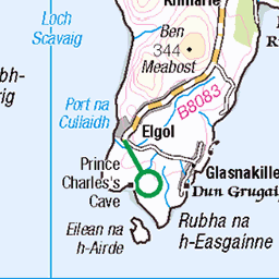
OS Map of Bloodstone Hill
Height: 388m / 1273ft • Prominence: 116m / 381ft • Summit : no feature: grass near edge of cliff • Trip reports (hill-bagging)

Stone beech on Rùm
Long exposure of waves crashing up a beech, Small Isles in Scotland
23-Jul-23 • Will Dale - Out and About • flickr
island islands landscape longexposure photography places rhum rum scotland scottishhighlands scottishislands sea seascape sky smallisles uk unitedkingdom isleofrum 54061005253


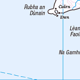
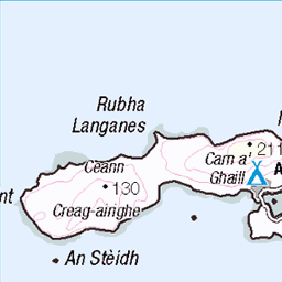
OS Map
This is OS mapping. In some areas, OpenStreetMap shows more footpaths
Spatial NI has online OSNI mapping. Click "Basemap Gallery" (4 squares icon at the top).
Now would be a good time for a cup of tea.


GPX Editor
Record map clicks
Reload map
Photos
Please tag your photos and upload them to the British and Irish Mountains group on Flickr
The other photos have been geo-tagged as on or around the summit. For less busy mountains, it can be a little hit and miss.
Stone beech on Rùm
Long exposure of waves crashing up a beech, Small Isles in Scotland
23-Jul-23 • Will Dale - Out and About • flickr
island islands landscape longexposure photography places rhum rum scotland scottishhighlands scottishislands sea seascape sky smallisles uk unitedkingdom isleofrum 54061005253


Living the dream.
This is a view of the Isle Of Rhum taken from a boat on a trip out from the Isle Of Skye. Imagine living on a croft here.
21-Jul-11 • lawrencecornellphotography • flickr
aquaxplore isleofskye rhum scenery scotland scenic outdoors nature nikond700 hills mountains cottage travel adventure peaceful 48880549416
Videos
Second day on the Small Isles - part of the remotest area of Rùm, from Dibidil to Guirdil via Papadil and Harris. Lovely views over ...
A Weeks stalking on the Isle of Rum #hunting #shooting #stags #stalking.
Date of filming 30th September to 1st October 2017 Locations - Scottish Highlands British Isles. Mallaig , Isle of Rum. A attempt to ...
Welcome to The Isle of Rum. Here we go for a walk to Guirdil Bothy where we stay a couple of nights. Oh yay how fun for us?
2020.08.11 Rozpoczynam od odkrycia prehistorycznej wioski oraz obserwatorium dzikiej przyrody, gdzie dowiedziałem się jakie ...
Notes
- Data: Database of British and Irish Hills v18.2
- Maps: We use OS mapping for England, Scotland, Wales, and the Isle of Man. Sadly, Channel Islands, Northern (OSNI) and Southern Ireland (OSI) mapping isn't available online, so we use Openstreetmap.