Hills of Britain and Ireland
OS Map of Ard Nev

Cotton Grass
Hasselblad 903 swc Kodak Aerochrome B+W 099 filter June 2018
23-Sep-18 • Mark Rowell • flickr
infrared ir eir aerochrome kodak hasselblad 903 swc 6x6 120 mediumformat cottongrass expired isleofrum scotland film 44813045222
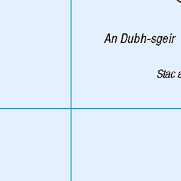
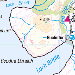
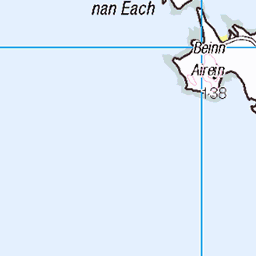
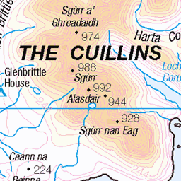
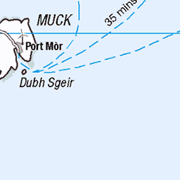
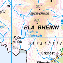
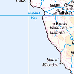
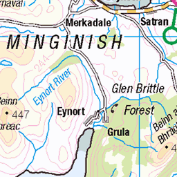
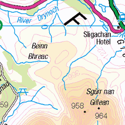
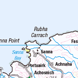
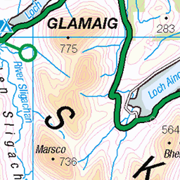
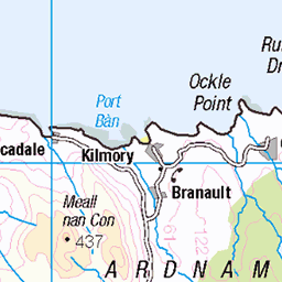
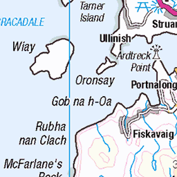
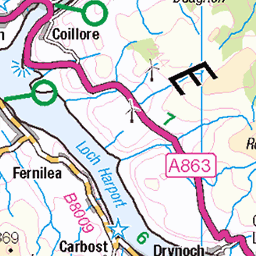
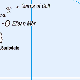
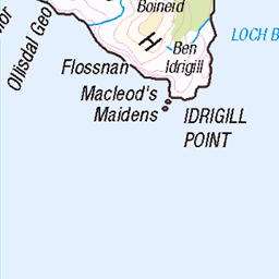
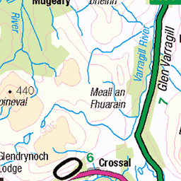
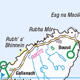
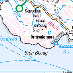
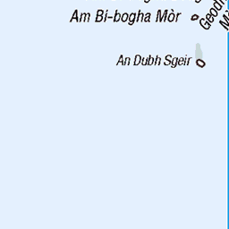
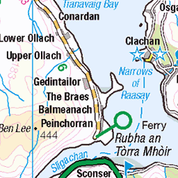
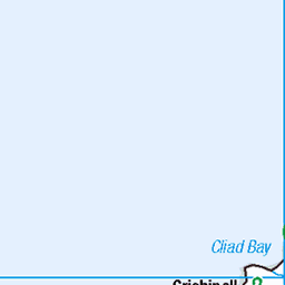
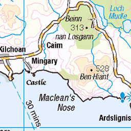
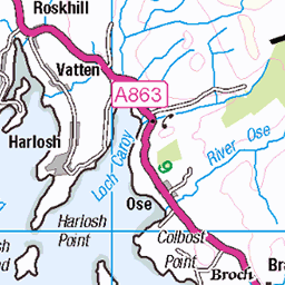
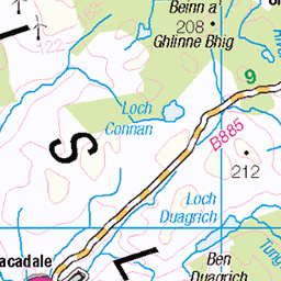
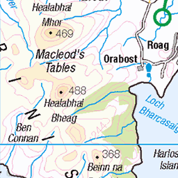
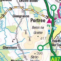
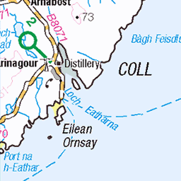
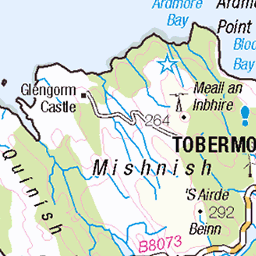
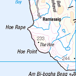
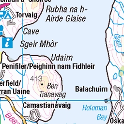
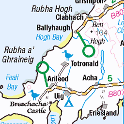
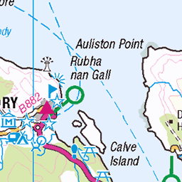
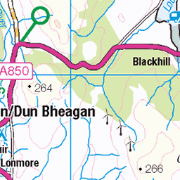
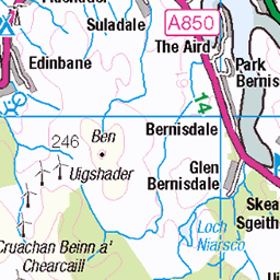
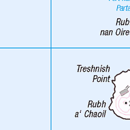
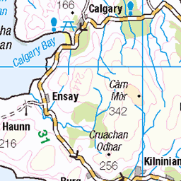
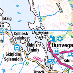
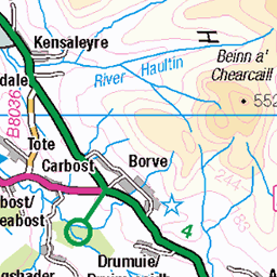
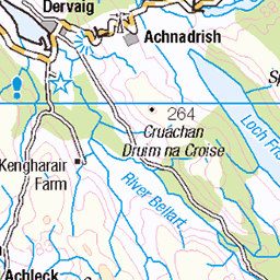
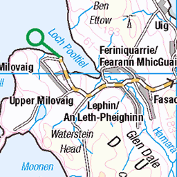
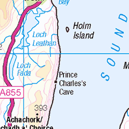
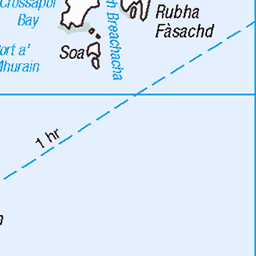
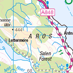
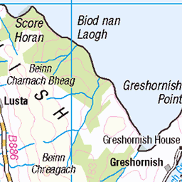
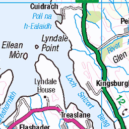
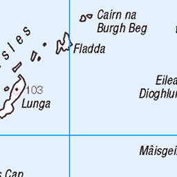
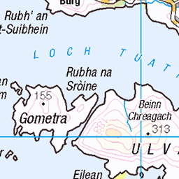
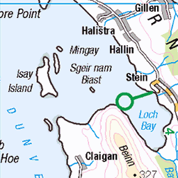
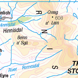
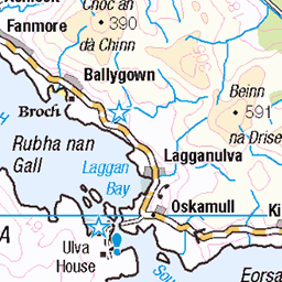
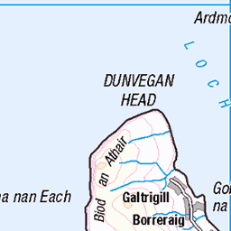
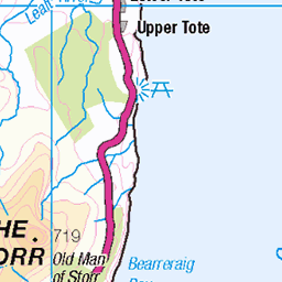
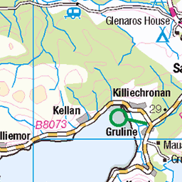
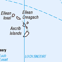
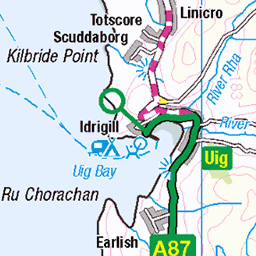
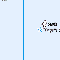
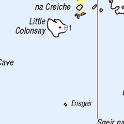
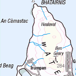
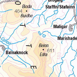
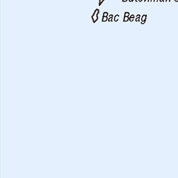
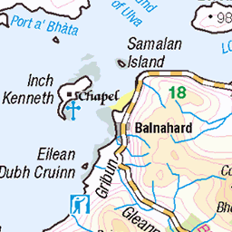
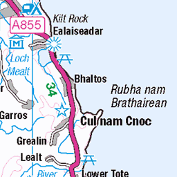
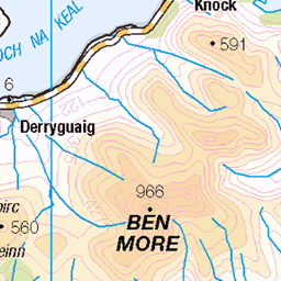
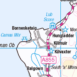
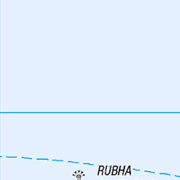
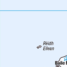
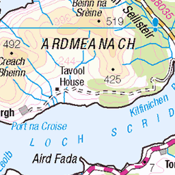
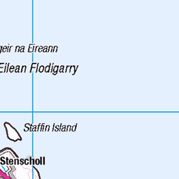
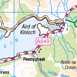
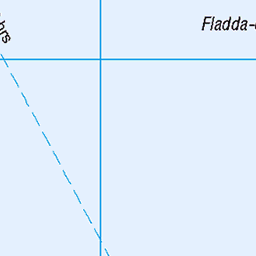
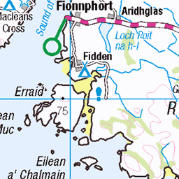
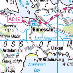
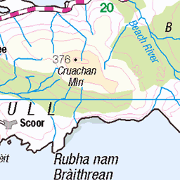
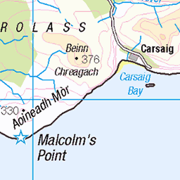
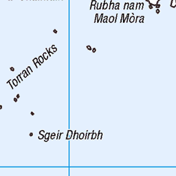
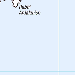
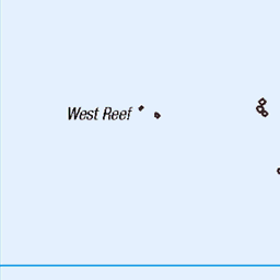
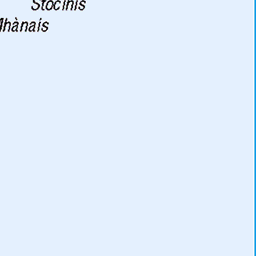
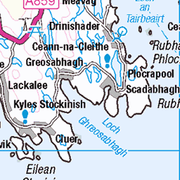
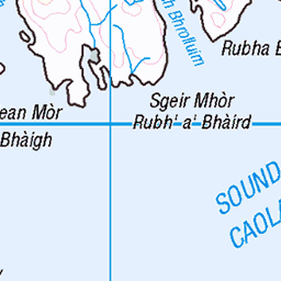
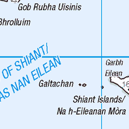
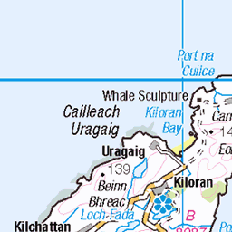
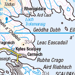
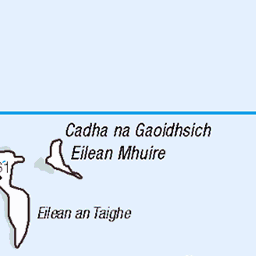
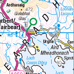
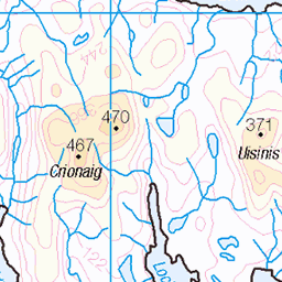
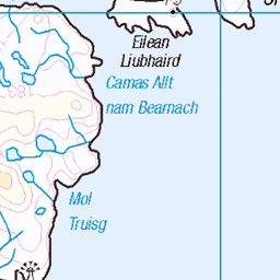
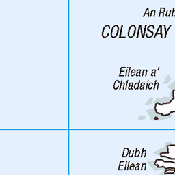
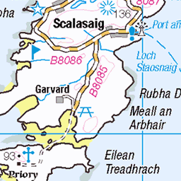
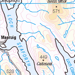
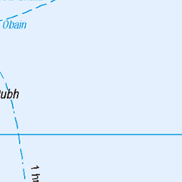
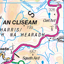
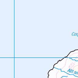
OS Map
This is OS mapping. In some areas, OpenStreetMap shows more footpaths
Spatial NI has online OSNI mapping. Click "Basemap Gallery" (4 squares icon at the top).
Now would be a good time for a cup of tea.


GPX Editor
Record map clicks
Reload map
Photos
Please tag your photos and upload them to the British and Irish Mountains group on Flickr
The other photos have been geo-tagged as on or around the summit. For less busy mountains, it can be a little hit and miss.
Cotton Grass
Hasselblad 903 swc Kodak Aerochrome B+W 099 filter June 2018
23-Sep-18 • Mark Rowell • flickr
infrared ir eir aerochrome kodak hasselblad 903 swc 6x6 120 mediumformat cottongrass expired isleofrum scotland film 44813045222
Videos
None found
Notes
- Data: Database of British and Irish Hills v18.2
- Maps: We use OS mapping for England, Scotland, Wales, and the Isle of Man. Sadly, Channel Islands, Northern (OSNI) and Southern Ireland (OSI) mapping isn't available online, so we use Openstreetmap.