Hills of Britain and Ireland
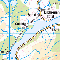
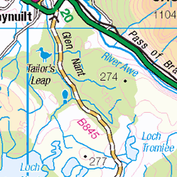
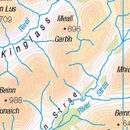
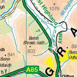
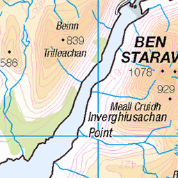
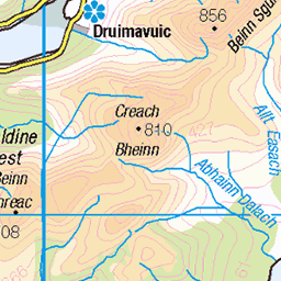
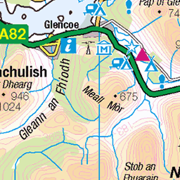
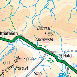
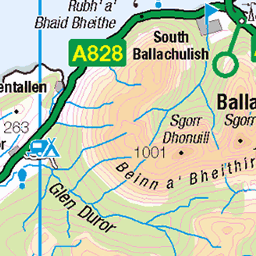
OS Map of Cruach a' Bhuic
Height: 635m / 2083ft • Prominence: 70m / 230ft • Summit : outcrop a few metres from cairn • Trip reports (hill-bagging)


Baron Turner forest; Cowal peninsula, Argyll & Bute, Scotland
www.michaelleek.co.uk" rel="noreferrer nofollow www.michaelleek.co.uk
18-Feb-21 • Michael Leek Photography • flickr
cowal cowalpeninsula argyllandbute argyll argyllbute baronturner westcoastofscotland westernscotland ardentinny forest scotland scottishlandscapes scotlandslandscapes scotlandinwinter scotlandsbeauty europe britain michaelleek michaelleekphotography 50970698087


Hillside Track
One of the many hillside and forest tracks around the Loch Eck area in Argyll.
20-Oct-19 • Click And Pray • flickr
managedbyclickandpraysflickrmanagr whistlefield locheck trees forest remote nopeople tranquility argyll scotland path track hillside woodland bluesky cloudscape whistlefieldlochecktreesforestremotenopeopletranquilityargyllscotlandpathtrackhillsidewoodlandblueskycloudscape 48949213017
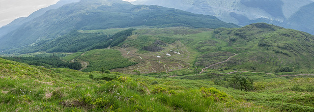
Above Whistlefield Hill
Last weekend I discovered that a new track had been laid in the hills above Whistlefield to support the planting of a new crop of trees (you can see the lines in the landscape where the trenches have been dug to drain the land and plant the trees). I followed it as far as I could before it patered out onto open hillside and got this lovely view.
03-Jun-18 • Click And Pray • flickr
managedbyclickandpraysflickrmanagr whistlefield panorama landscape scotland argyll nopeople hillside horizontal above whistlefieldpanoramalandscapescotlandargyllnopeoplehillsidehorizontalabovegbr 42626847351
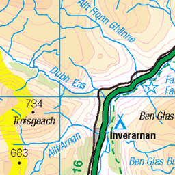
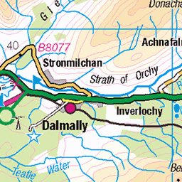
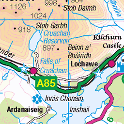
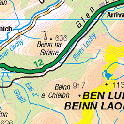
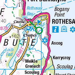
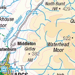
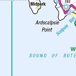
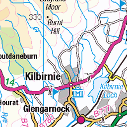
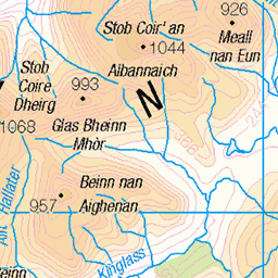
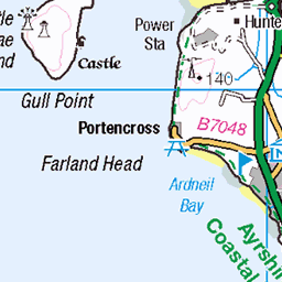
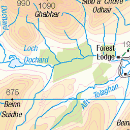
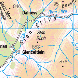
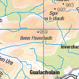
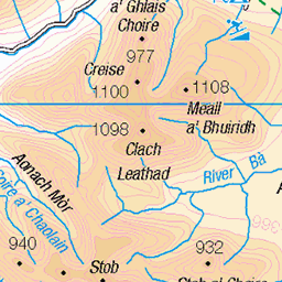
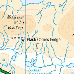
OS Map
This is OS mapping. In some areas, OpenStreetMap shows more footpaths
Spatial NI has online OSNI mapping. Click "Basemap Gallery" (4 squares icon at the top).
Now would be a good time for a cup of tea.

GPX Editor
Record map clicks
Reload map
Photos
Please tag your photos and upload them to the British and Irish Mountains group on Flickr
The other photos have been geo-tagged as on or around the summit. For less busy mountains, it can be a little hit and miss.
Baron Turner forest; Cowal peninsula, Argyll & Bute, Scotland
www.michaelleek.co.uk" rel="noreferrer nofollow www.michaelleek.co.uk
18-Feb-21 • Michael Leek Photography • flickr
cowal cowalpeninsula argyllandbute argyll argyllbute baronturner westcoastofscotland westernscotland ardentinny forest scotland scottishlandscapes scotlandslandscapes scotlandinwinter scotlandsbeauty europe britain michaelleek michaelleekphotography 50970698087
Hillside Track
One of the many hillside and forest tracks around the Loch Eck area in Argyll.
20-Oct-19 • Click And Pray • flickr
managedbyclickandpraysflickrmanagr whistlefield locheck trees forest remote nopeople tranquility argyll scotland path track hillside woodland bluesky cloudscape whistlefieldlochecktreesforestremotenopeopletranquilityargyllscotlandpathtrackhillsidewoodlandblueskycloudscape 48949213017
Above Whistlefield Hill
Last weekend I discovered that a new track had been laid in the hills above Whistlefield to support the planting of a new crop of trees (you can see the lines in the landscape where the trenches have been dug to drain the land and plant the trees). I followed it as far as I could before it patered out onto open hillside and got this lovely view.
03-Jun-18 • Click And Pray • flickr
managedbyclickandpraysflickrmanagr whistlefield panorama landscape scotland argyll nopeople hillside horizontal above whistlefieldpanoramalandscapescotlandargyllnopeoplehillsidehorizontalabovegbr 42626847351

Waterfall Overlooking Loch Long
I've photographed this waterfall on the hill overlooking Ardentinny and Loch Long a few times, but not for a while. When I went there last weekend it looked completely different. The top of the waterfall had been dammed to feed one of 3 or 4 new small hydro schemes that have recently been built in the Ardentinny area. Whilst the waterfall did not look as nice as it used to, it's nice to see so many renewable energy schemes cropping up in Scotland. In fact there has been quite a number of days in 2017 so far where Scotland generated 100% or more of its electricity needs from wind power *alone* :)
26-Aug-17 • Click And Pray • flickr
managedbyclickandpraysflickrmanagr rocks argyll landscape scotland horizontal river stream waterfall lochlong ardentinny hydro hydropower renewableenergy rocksargylllandscapescotlandhorizontalriverstreamwaterfalllochlongardentinnyhydrohydropowerrenewableenergywhistlefieldgbr 36201814043

Cascade
Cascade loc.alize.us/#/flickr:14177404762" rel="nofollow See where this picture was taken. www.flickr.com/groups/geotagging/discuss/72157594165549916/ [?]
06-May-14 • Click And Pray • flickr
longexposure geotagged scotland waterfall argyll scottish cascade managedbyclickandpraysflickrmanagr cascadelongexposurewaterfallargyllscotlandscottishwhistlefieldargyllscotlandgbr geo:lat=56087054000092266 geo:lon=4961179733363679 14177404762

Fallen Trees
A copse of trees falls foul of the infamous Loch Eck winds.
05-May-14 • Click And Pray • flickr
trees landscape scotland argyll hillside plain stormysky stormdamage copse fallentrees locheck managedbyclickandpraysflickrmanagr treesstormdamagestormyskyhillsideargyllscotlandfallentreeslandscapeplainlocheckcopseargyllscotlandgbr 17279211406
Videos
None found
Notes
- Data: Database of British and Irish Hills v18.2
- Maps: We use OS mapping for England, Scotland, Wales, and the Isle of Man. Sadly, Channel Islands, Northern (OSNI) and Southern Ireland (OSI) mapping isn't available online, so we use Openstreetmap.