Hills of Britain and Ireland
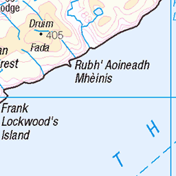
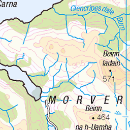
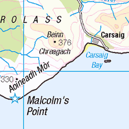
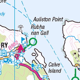
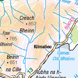
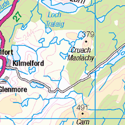
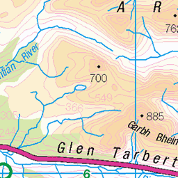
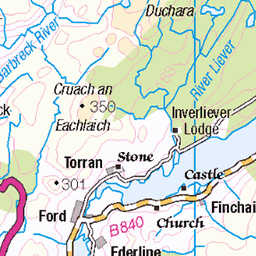
OS Map of Mainnir nam Fiadh
Height: 757m / 2484ft • Prominence: 53m / 174ft • Summit : rock by huge cairn • Trip reports (hill-bagging)

10504 - Mainnir Nam Fiadh
NM676353, LR49. HISTORY Pillar completed 1st June 1959 costing £9.2s.3d. Computed as secondary triangulation station NM52/28 within the Mull secondary block, and levelled to second class precision during 1960. This pillar station was last maintained by the Ordnance Survey in July 1980. SITE VISIT Walked from the ferry terminal at Craignure. Overall approach from east. The track leaves the A849 at NM726350, passes one comms mast and terminates at another. After this the route is fairly straightforward by line of sight but not a continuously defined a path on the ground over parts. The Vanessa is in good condition. The spider retains its original OS centre cap with raised large narrow letters. The flush bracket faces south, compass measurement 173°. Vented through three sight holes, the right (east) side is plugged, the innards are filled with debris. Long 360° panoramic view from top. Photographed: 9th May 2016, GRP. ═════════════════════════ Map: www.flickr.com/photos/13460108@N06/26657783657/in/album-72157692190778971/ Trig Pillars on OS Landranger 49 ═════════════════════════ Neighbouring Triangulation Pillars www.flickr.com/photos/13460108@N06/48052277192/in/album-72157631838876970/ 10483 - Beinn Talaidh : 3.20 miles to the west. www.flickr.com/photos/13460108@N06/30251372538/in/album-72157631838876970/ 10365 - Thorcaill : 4.37 miles to the north. www.flickr.com/photos/13460108@N06/33241211315/in/album-72157631838876970/ 10236 - Duart : 4.68 miles to the east. www.flickr.com/photos/13460108@N06/33479617200/in/album-72157631831281682/ S9700 - Carn Ban : 4.88 miles to the southeast. www.flickr.com/photos/13460108@N06/33706850710/in/album-72157631838876970/ 10495 - Meall Nan Capull : 5.24 miles to the southwest. www.flickr.com/photos/13460108@N06/40055150872/in/album-72157631838876970/ 10521 - An Dunan : 5.93 miles to the northeast. ═════════════════════════
09-May-16 • Graeme5015 • flickr
10504 mainnirnamfiadh mainnir fiadh mull trigpoint vanessa 33199153396

4503 Mainnir nam Fiadh
Mainnir nam Fiadh and Dùn da Ghaoithe bagged via the transmitter road on a sunny morning to complete my collection of HuMPs on the Isle of Mull. Name: Mainnir nam Fiadh Hill number: 4503 Height:757m / 2484ft Parent (Ma/M):1302 Dun da Ghaoithe Section: 17E: Mull and Nearby Islands County/UA: Argyll and Bute (UA) Island:Mull Class: Graham Top, Sim Grid ref: NM 67622 35341 Summit feature:rock by huge cairn Drop: 53m Col: 704m NM673358 Observations: trig point (fb 30cm) at NM 67655 35345 is 1.8m lower Survey: Abney leve
03-Jun-15 • Dugswell2 • flickr
isleofmull sim tump p53 vanessatrig grahamtop mainnirnamfiadh 18469256173

Faroe Islands Mircolight Adventure 20140606_181230
06-Jun-14 • flyingboy101 • flickr
faroeislandstripjune2014 15381309151

Faroe Islands Mircolight Adventure 20140606_1812301
06-Jun-14 • flyingboy101 • flickr
faroeislandstripjune2014 15384181902

Robert, the bus driver
He was very Scottish, so wore barely any protection from the elements
8718447100

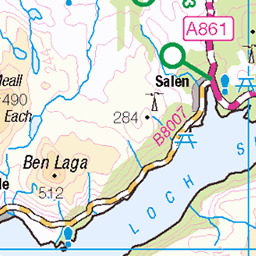
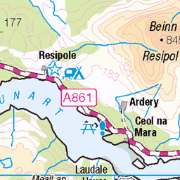
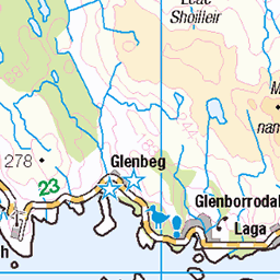
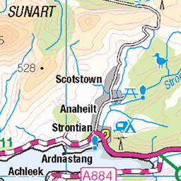
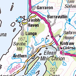
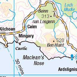
OS Map
This is OS mapping. In some areas, OpenStreetMap shows more footpaths
Spatial NI has online OSNI mapping. Click "Basemap Gallery" (4 squares icon at the top).
Now would be a good time for a cup of tea.


GPX Editor
Record map clicks
Reload map
Photos
Please tag your photos and upload them to the British and Irish Mountains group on Flickr
The other photos have been geo-tagged as on or around the summit. For less busy mountains, it can be a little hit and miss.
10504 - Mainnir Nam Fiadh
NM676353, LR49. HISTORY Pillar completed 1st June 1959 costing £9.2s.3d. Computed as secondary triangulation station NM52/28 within the Mull secondary block, and levelled to second class precision during 1960. This pillar station was last maintained by the Ordnance Survey in July 1980. SITE VISIT Walked from the ferry terminal at Craignure. Overall approach from east. The track leaves the A849 at NM726350, passes one comms mast and terminates at another. After this the route is fairly straightforward by line of sight but not a continuously defined a path on the ground over parts. The Vanessa is in good condition. The spider retains its original OS centre cap with raised large narrow letters. The flush bracket faces south, compass measurement 173°. Vented through three sight holes, the right (east) side is plugged, the innards are filled with debris. Long 360° panoramic view from top. Photographed: 9th May 2016, GRP. ═════════════════════════ Map: www.flickr.com/photos/13460108@N06/26657783657/in/album-72157692190778971/ Trig Pillars on OS Landranger 49 ═════════════════════════ Neighbouring Triangulation Pillars www.flickr.com/photos/13460108@N06/48052277192/in/album-72157631838876970/ 10483 - Beinn Talaidh : 3.20 miles to the west. www.flickr.com/photos/13460108@N06/30251372538/in/album-72157631838876970/ 10365 - Thorcaill : 4.37 miles to the north. www.flickr.com/photos/13460108@N06/33241211315/in/album-72157631838876970/ 10236 - Duart : 4.68 miles to the east. www.flickr.com/photos/13460108@N06/33479617200/in/album-72157631831281682/ S9700 - Carn Ban : 4.88 miles to the southeast. www.flickr.com/photos/13460108@N06/33706850710/in/album-72157631838876970/ 10495 - Meall Nan Capull : 5.24 miles to the southwest. www.flickr.com/photos/13460108@N06/40055150872/in/album-72157631838876970/ 10521 - An Dunan : 5.93 miles to the northeast. ═════════════════════════
09-May-16 • Graeme5015 • flickr
10504 mainnirnamfiadh mainnir fiadh mull trigpoint vanessa 33199153396
4503 Mainnir nam Fiadh
Mainnir nam Fiadh and Dùn da Ghaoithe bagged via the transmitter road on a sunny morning to complete my collection of HuMPs on the Isle of Mull. Name: Mainnir nam Fiadh Hill number: 4503 Height:757m / 2484ft Parent (Ma/M):1302 Dun da Ghaoithe Section: 17E: Mull and Nearby Islands County/UA: Argyll and Bute (UA) Island:Mull Class: Graham Top, Sim Grid ref: NM 67622 35341 Summit feature:rock by huge cairn Drop: 53m Col: 704m NM673358 Observations: trig point (fb 30cm) at NM 67655 35345 is 1.8m lower Survey: Abney leve
03-Jun-15 • Dugswell2 • flickr
isleofmull sim tump p53 vanessatrig grahamtop mainnirnamfiadh 18469256173
Faroe Islands Mircolight Adventure 20140606_181230
06-Jun-14 • flyingboy101 • flickr
faroeislandstripjune2014 15381309151
Faroe Islands Mircolight Adventure 20140606_1812301
06-Jun-14 • flyingboy101 • flickr
faroeislandstripjune2014 15384181902
Robert, the bus driver
He was very Scottish, so wore barely any protection from the elements
8718447100


P8010963
www.geobloggers.com/ geotagged
01-Aug-05 • Ben Shepherd • flickr
holiday walking scotland island mull dundagaoithe hill geolat564561 geolon57734 geotagged 48951644

P8010964
www.geobloggers.com/ geotagged
01-Aug-05 • Ben Shepherd • flickr
holiday walking scotland island mull dundagaoithe hill geolat564598 geolon57743 geotagged 48951652

P8010966
www.geobloggers.com/ geotagged
01-Aug-05 • Ben Shepherd • flickr
holiday walking scotland island mull dundagaoithe hill geolat564624 geolon57745 geotagged 48951656
Videos
None found
Notes
- Data: Database of British and Irish Hills v18.2
- Maps: We use OS mapping for England, Scotland, Wales, and the Isle of Man. Sadly, Channel Islands, Northern (OSNI) and Southern Ireland (OSI) mapping isn't available online, so we use Openstreetmap.