Hills of Britain and Ireland
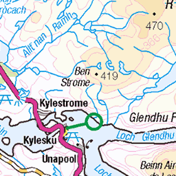
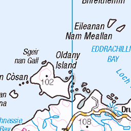
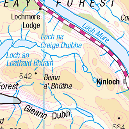
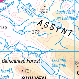
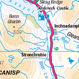
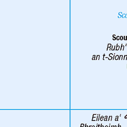
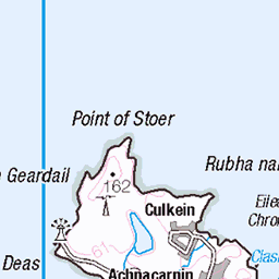
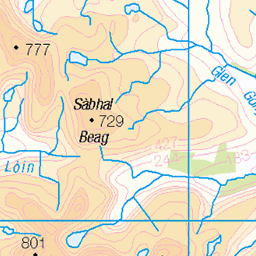
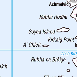
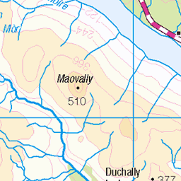
OS Map of Sail Gharbh West Top


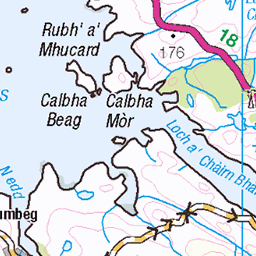
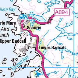
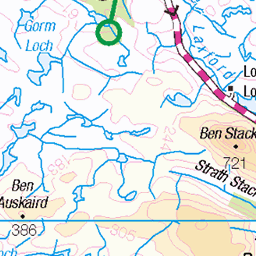
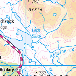
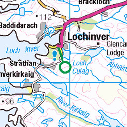
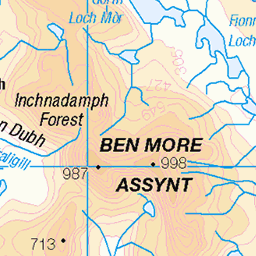
OS Map
This is OS mapping. In some areas, OpenStreetMap shows more footpaths
Spatial NI has online OSNI mapping. Click "Basemap Gallery" (4 squares icon at the top).
Now would be a good time for a cup of tea.


GPX Editor
Record map clicks
Reload map
Photos
Please tag your photos and upload them to the British and Irish Mountains group on Flickr
The other photos have been geo-tagged as on or around the summit. For less busy mountains, it can be a little hit and miss.


Videos
A cloudy yet amazing day out on one of the giants in the north west Scotland. The views up in these parts are far and wide since ...
Tour Scotland Summer wee travel video clip, with Scottish music, of Quinag, Scottish Gaelic: A' Chuineag, Mountain Range on ...
Corbett at 764m - took us over 3 and a half hours for 4.5 miles. Will be back to complete. My wife's favourite mountain located in ...
A great morning in Assynt, taking in the 3 Corbetts of Quinag. Spidean Coinich, Sail Gorm and Sail Gharbh. Solo Hike #hiking ...
views over Loch Nedd & Quinag mountain.
Notes
- Data: Database of British and Irish Hills v18.2
- Maps: We use OS mapping for England, Scotland, Wales, and the Isle of Man. Sadly, Channel Islands, Northern (OSNI) and Southern Ireland (OSI) mapping isn't available online, so we use Openstreetmap.