Hills of Britain and Ireland
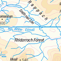
OS Map of Carn Loch Sruban Mora

Allt a Chuaille
uk camping scotland ross hiking burn rossshire 2260458608

Glenbeg bothies
uk camping scotland ross hiking bothy rossshire 2260461578


Gleann Beag looking downstream
uk camping scotland ross hiking rossshire 2260467826

Descending Gleann Beag
uk camping scotland ross hiking rossshire 2259676507

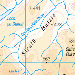
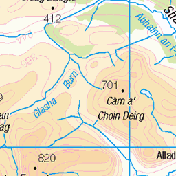
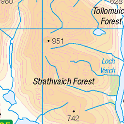
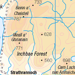
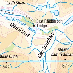
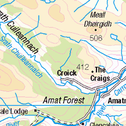
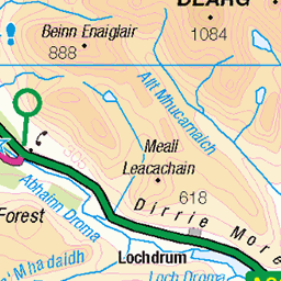
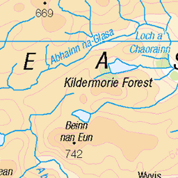
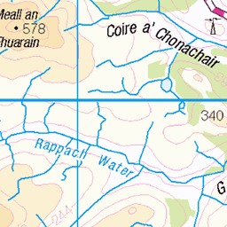
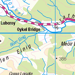
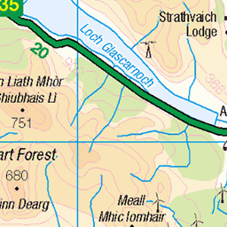
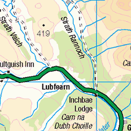
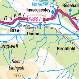
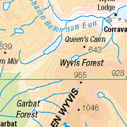
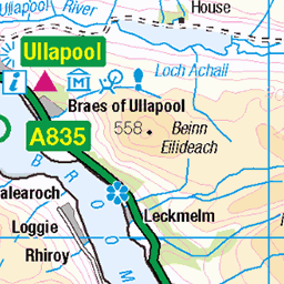
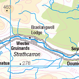
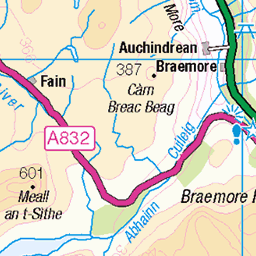
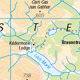
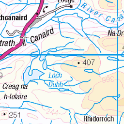
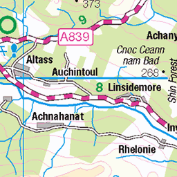
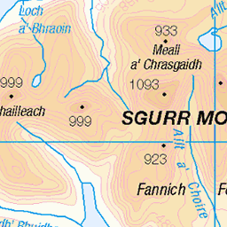
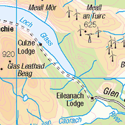
OS Map
This is OS mapping. In some areas, OpenStreetMap shows more footpaths
Spatial NI has online OSNI mapping. Click "Basemap Gallery" (4 squares icon at the top).
Now would be a good time for a cup of tea.

GPX Editor
Record map clicks
Reload map
Photos
Please tag your photos and upload them to the British and Irish Mountains group on Flickr
The other photos have been geo-tagged as on or around the summit. For less busy mountains, it can be a little hit and miss.
Allt a Chuaille
uk camping scotland ross hiking burn rossshire 2260458608
Glenbeg bothies
uk camping scotland ross hiking bothy rossshire 2260461578
Gleann Beag looking downstream
uk camping scotland ross hiking rossshire 2260467826
Descending Gleann Beag
uk camping scotland ross hiking rossshire 2259676507


Glenbeg iron bothy
uk camping scotland ross hiking bothy rossshire 2260449786

Inside Glenbeg bothy
uk camping scotland ross hiking bothy rossshire 2259658311

Drying clothes
uk camping scotland ross hiking bothy rossshire 2259661329
Videos
None found
Notes
- Data: Database of British and Irish Hills v18.2
- Maps: We use OS mapping for England, Scotland, Wales, and the Isle of Man. Sadly, Channel Islands, Northern (OSNI) and Southern Ireland (OSI) mapping isn't available online, so we use Openstreetmap.