Hills of Britain and Ireland
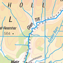
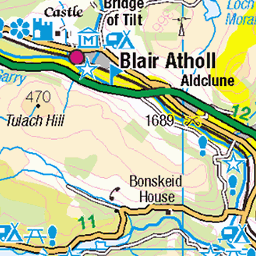
OS Map of Carn Bhinnein
Height: 918m / 3010ft • Prominence: 64m / 210ft • Summit : rock by stone shelter • Trip reports (hill-bagging)


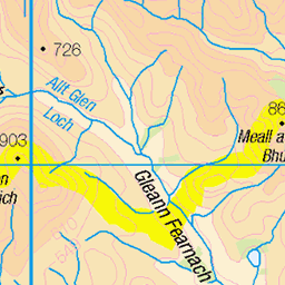
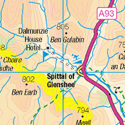
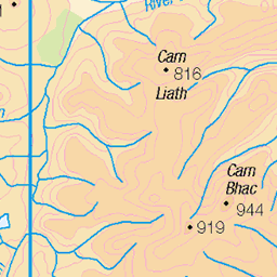
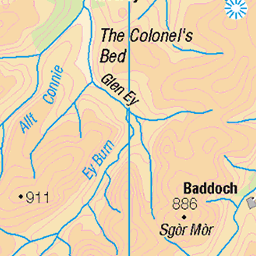
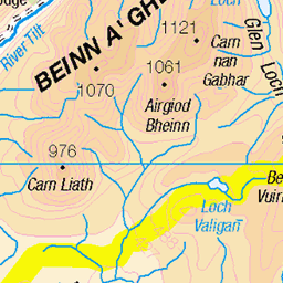
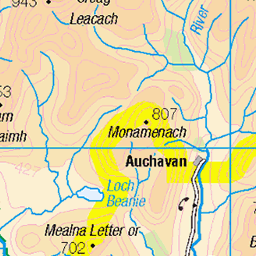
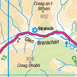
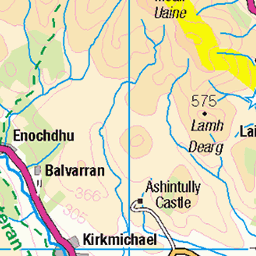
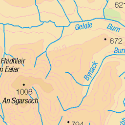
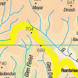
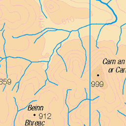
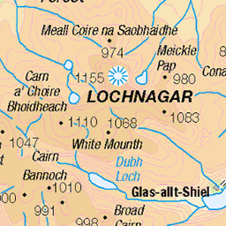
OS Map
This is OS mapping. In some areas, OpenStreetMap shows more footpaths
Spatial NI has online OSNI mapping. Click "Basemap Gallery" (4 squares icon at the top).
Now would be a good time for a cup of tea.
GPX Editor
Record map clicks
Reload map
Photos
Please tag your photos and upload them to the British and Irish Mountains group on Flickr
The other photos have been geo-tagged as on or around the summit. For less busy mountains, it can be a little hit and miss.


Summit of Carn a'Gheoidh
We've made the summit of Carn a'Gheoidh, while the high Scottish mountains loom in the background. Carn a'Gheoidh (pronounced Carn a Ghoy) meaning Rocky Hill of the Goose (or Froggy Hill of the Goose as Niqui heard it!) is a Munro standing at 975 meters (3198 feet), my 6th Munro of the year and the 10th ever I've climbed, but the last until next summer.
12-Oct-19 • steve_whitmarsh • flickr
aberdeenshire scotland scottishhighlands highlands cairngorms landscape carnagheoidh topic 48936476153
Videos
May 2006 .fine day trip although total 130 miles drive from Aberdeen and back. music --Mist - Odonis Odonis.
A short walk around the three Cairnwell Munros taking in The Cairnwell, Carn Aosda and Carn A Gheoidh. This is a relatively ...
Notes
- Data: Database of British and Irish Hills v18.2
- Maps: We use OS mapping for England, Scotland, Wales, and the Isle of Man. Sadly, Channel Islands, Northern (OSNI) and Southern Ireland (OSI) mapping isn't available online, so we use Openstreetmap.