Hills of Britain and Ireland
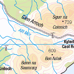
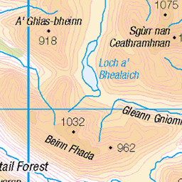
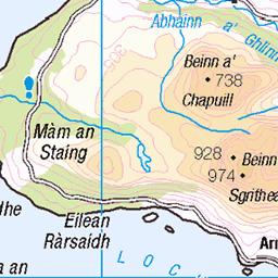
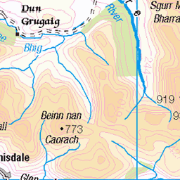
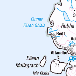
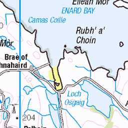
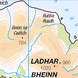
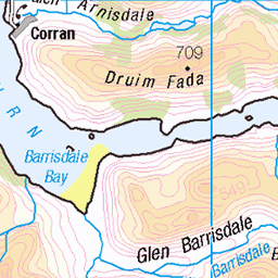
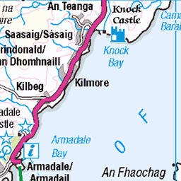
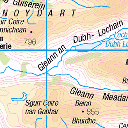
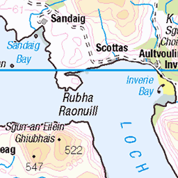
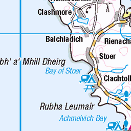
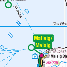
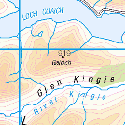
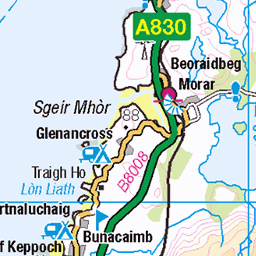
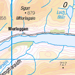
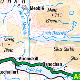
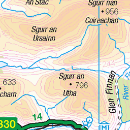
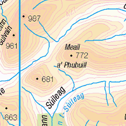
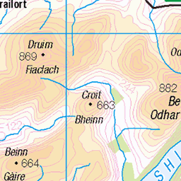
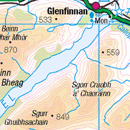
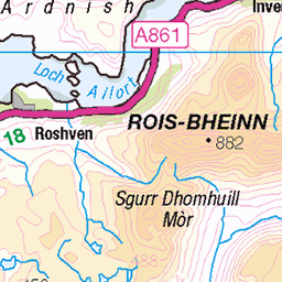
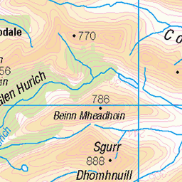
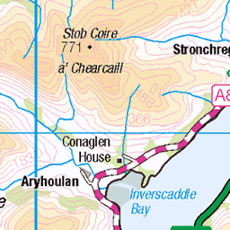
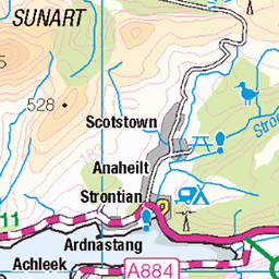
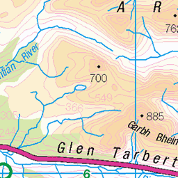
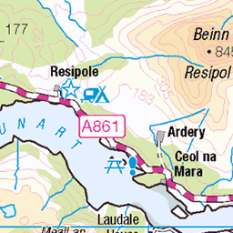
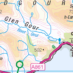
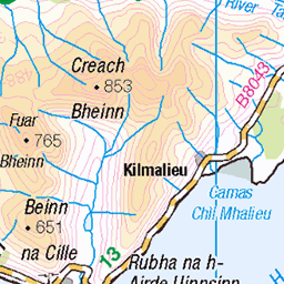
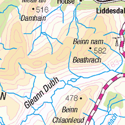
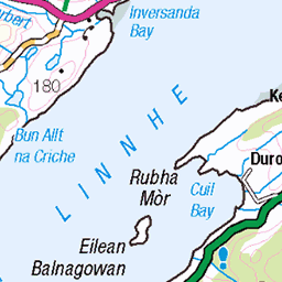
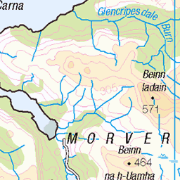
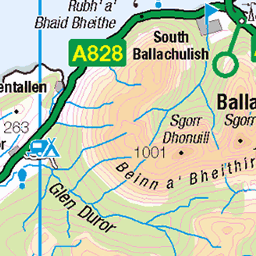
OS Map of Beinn Bhreac
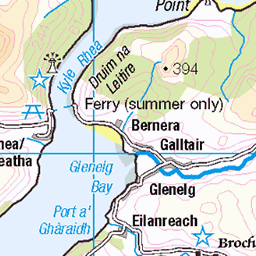
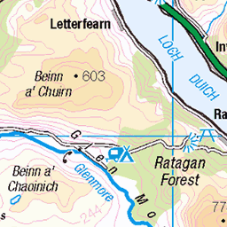
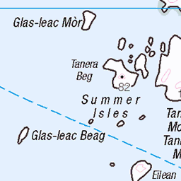
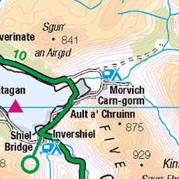
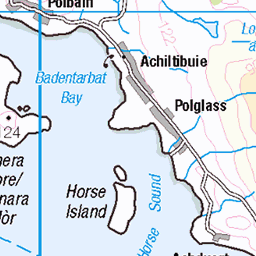
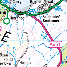
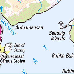
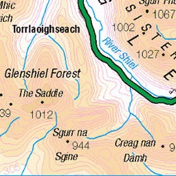
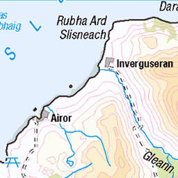
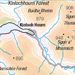
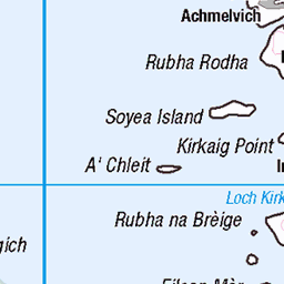
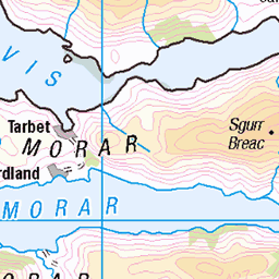
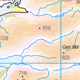
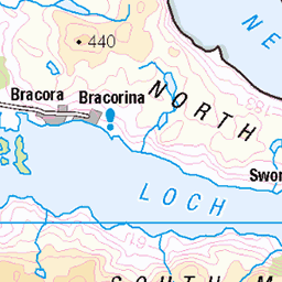
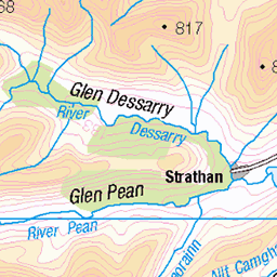
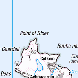
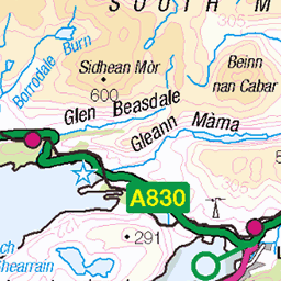
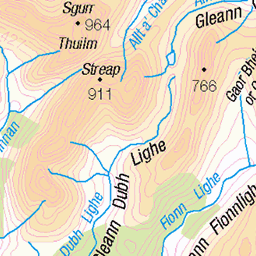
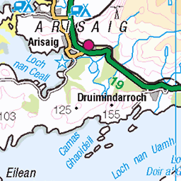
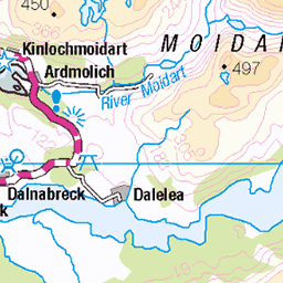
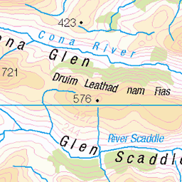
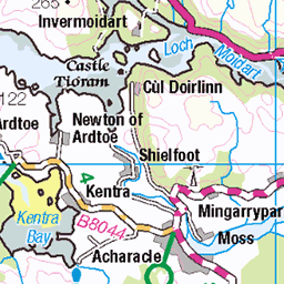
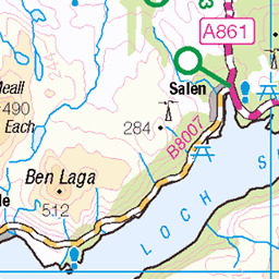
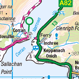
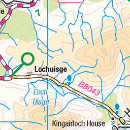
OS Map
This is OS mapping. In some areas, OpenStreetMap shows more footpaths
Spatial NI has online OSNI mapping. Click "Basemap Gallery" (4 squares icon at the top).
Now would be a good time for a cup of tea.


Try disabling your ad-blocker if the map doesn't appear.
GPX Editor
Record map clicks
Reload map
Initialising...
Photos
bmdhill
hill4381
Please tag your photos and upload them to the British and Irish Mountains group on Flickr
The other photos have been geo-tagged as on or around the summit. For less busy mountains, it can be a little hit and miss.
Be the first to add photos to the Flickr Group.
Videos
Beinn Alligin And The Horns Of Alligin
Summit About Scotland, Jun-22
My first trip to the magical Torridon in the north west of Scotland. A solo afternoon hike to bag the 2 munros of Beinn Alligin and a ...
Fuar Tholl 907m , Torridon
Boarderdude, May-23
Hillwalking in Torridon. Fuar Tholl a Corbett, 907m.
Notes
- Data: Database of British and Irish Hills v18.2
- Maps: We use OS mapping for England, Scotland, Wales, and the Isle of Man. Sadly, Channel Islands, Northern (OSNI) and Southern Ireland (OSI) mapping isn't available online, so we use Openstreetmap.