Hills of Britain and Ireland
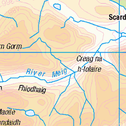
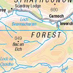
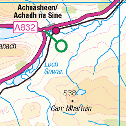
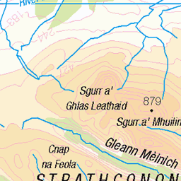
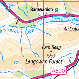
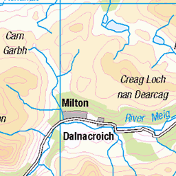
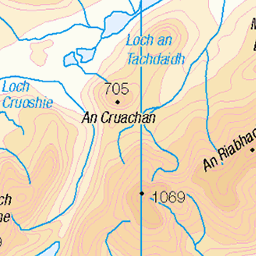
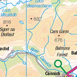
OS Map of Druim Dubh
Height: 611m / 2005ft • Prominence: 45m / 148ft • Summit : rock on outcrop • Trip reports (hill-bagging)

Getting from Pait Lodge to Loch na Caoidhe
Only a few photos because of snow/rain
lochmonar lochbeannacharain lochnacaoidhe 17527953744

Getting from Pait Lodge to Loch na Caoidhe
Only a few photos because of snow/rain
lochmonar lochbeannacharain lochnacaoidhe 17529976443

Getting from Pait Lodge to Loch na Caoidhe
Only a few photos because of snow/rain
lochmonar lochbeannacharain lochnacaoidhe 17529975673

Getting from Pait Lodge to Loch na Caoidhe
Only a few photos because of snow/rain
lochmonar lochbeannacharain lochnacaoidhe 17962670228
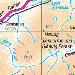
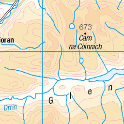
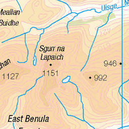
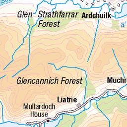
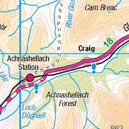
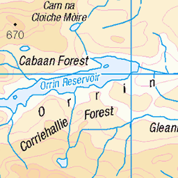
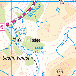
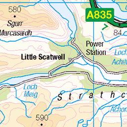
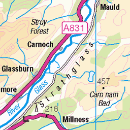
OS Map
This is OS mapping. In some areas, OpenStreetMap shows more footpaths
Spatial NI has online OSNI mapping. Click "Basemap Gallery" (4 squares icon at the top).
Now would be a good time for a cup of tea.

GPX Editor
Record map clicks
Reload map
Photos
Please tag your photos and upload them to the British and Irish Mountains group on Flickr
The other photos have been geo-tagged as on or around the summit. For less busy mountains, it can be a little hit and miss.
Getting from Pait Lodge to Loch na Caoidhe
Only a few photos because of snow/rain
lochmonar lochbeannacharain lochnacaoidhe 17527953744
Getting from Pait Lodge to Loch na Caoidhe
Only a few photos because of snow/rain
lochmonar lochbeannacharain lochnacaoidhe 17529976443
Getting from Pait Lodge to Loch na Caoidhe
Only a few photos because of snow/rain
lochmonar lochbeannacharain lochnacaoidhe 17529975673
Getting from Pait Lodge to Loch na Caoidhe
Only a few photos because of snow/rain
lochmonar lochbeannacharain lochnacaoidhe 17962670228
Videos
None found
Notes
- Data: Database of British and Irish Hills v18.2
- Maps: We use OS mapping for England, Scotland, Wales, and the Isle of Man. Sadly, Channel Islands, Northern (OSNI) and Southern Ireland (OSI) mapping isn't available online, so we use Openstreetmap.