Hills of Britain and Ireland
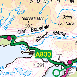
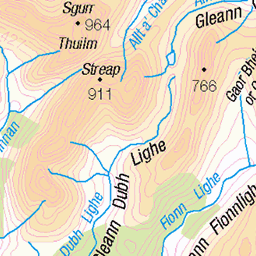
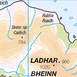
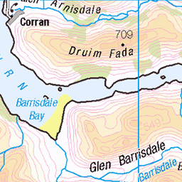
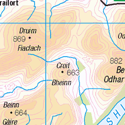
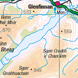
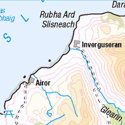
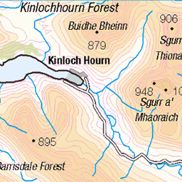
OS Map of Sgurr Mor
Height: 613m / 2010ft • Prominence: 37m / 121ft • Summit : inclined boulder 7m E of cairn • Trip reports (hill-bagging)


View back to Sgurr Mor and camp spot near wall
Morar - Knoydart
09-Oct-16 • Paul Sammonds • flickr
morar knoydart 30686123471

photo
15-Sep-13 • blackpuddinonnabike • flickr
uploaded:by=flickrmobile flickriosapp:filter=nofilter 9763067314
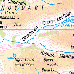
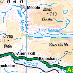
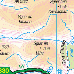
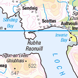
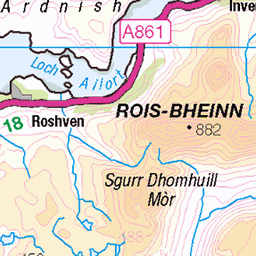
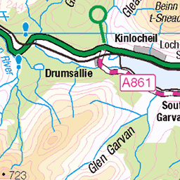
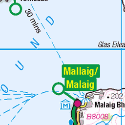
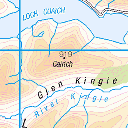
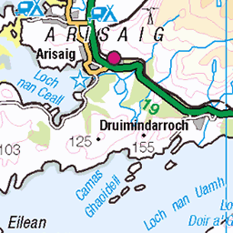
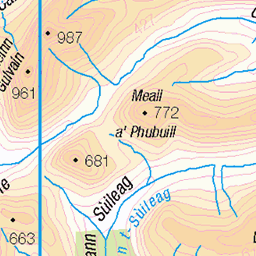
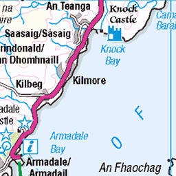
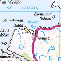
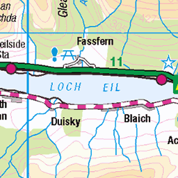
OS Map
This is OS mapping. In some areas, OpenStreetMap shows more footpaths
Spatial NI has online OSNI mapping. Click "Basemap Gallery" (4 squares icon at the top).
Now would be a good time for a cup of tea.


GPX Editor
Record map clicks
Reload map
Photos
Please tag your photos and upload them to the British and Irish Mountains group on Flickr
The other photos have been geo-tagged as on or around the summit. For less busy mountains, it can be a little hit and miss.
View back to Sgurr Mor and camp spot near wall
Morar - Knoydart
09-Oct-16 • Paul Sammonds • flickr
morar knoydart 30686123471
photo
15-Sep-13 • blackpuddinonnabike • flickr
uploaded:by=flickrmobile flickriosapp:filter=nofilter 9763067314

_MG_9127-2
13-Sep-08 • biggles621 • flickr
geotagged geo:lat=5696107200 geo:lon=558500700 2857751498

_MG_9135-2
13-Sep-08 • biggles621 • flickr
geotagged geo:lat=5697464700 geo:lon=560279850 2856903443
Videos
We had a fantastic 2 nights camping in the van to climb the 3 Munros in Glen Dessary, Sgurr na Ciche being the highest and the ...
Notes
- Data: Database of British and Irish Hills v18.2
- Maps: We use OS mapping for England, Scotland, Wales, and the Isle of Man. Sadly, Channel Islands, Northern (OSNI) and Southern Ireland (OSI) mapping isn't available online, so we use Openstreetmap.