Hills of Britain and Ireland
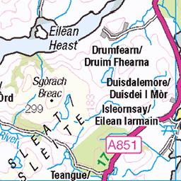
OS Map of Beinn na Caillich North Top

Camp on Beinn na Caillich
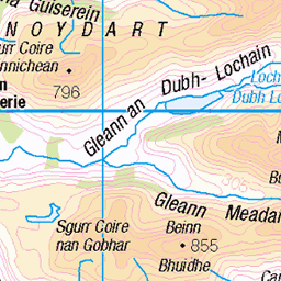
Morar - Knoydart
12-Oct-16 • Paul Sammonds • flickr
morar knoydart 30774545945
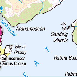
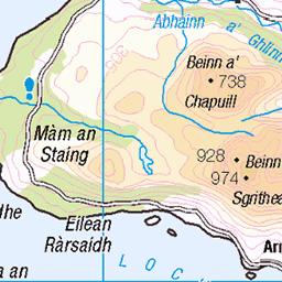
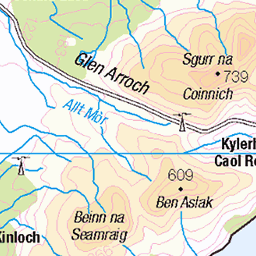
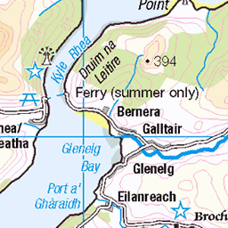
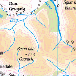
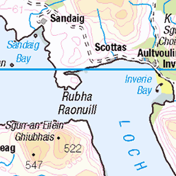
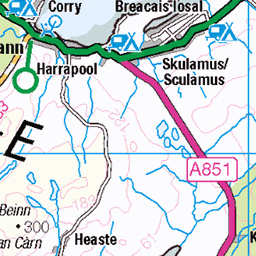
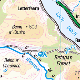
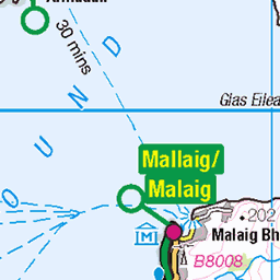
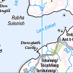
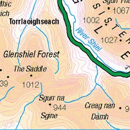
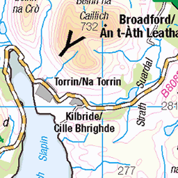
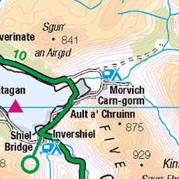
OS Map
This is OS mapping. In some areas, OpenStreetMap shows more footpaths
Spatial NI has online OSNI mapping. Click "Basemap Gallery" (4 squares icon at the top).
Now would be a good time for a cup of tea.


GPX Editor
Record map clicks
Reload map
Photos
Please tag your photos and upload them to the British and Irish Mountains group on Flickr
The other photos have been geo-tagged as on or around the summit. For less busy mountains, it can be a little hit and miss.
Camp on Beinn na Caillich
Morar - Knoydart
12-Oct-16 • Paul Sammonds • flickr
morar knoydart 30774545945
Videos
Ascent of Beinn Sgritheall (974m) from Arnisdale, next to Loch Hourn via Coire Min to view sunset over Skye on 26.9.20. Stunning ...
Notes
- Data: Database of British and Irish Hills v18.2
- Maps: We use OS mapping for England, Scotland, Wales, and the Isle of Man. Sadly, Channel Islands, Northern (OSNI) and Southern Ireland (OSI) mapping isn't available online, so we use Openstreetmap.