Hills of Britain and Ireland
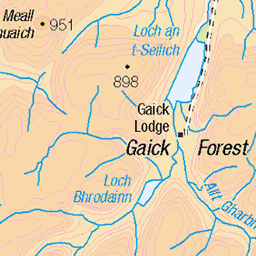
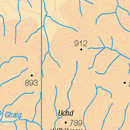
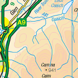
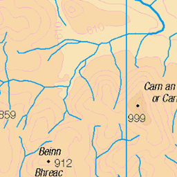
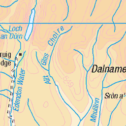
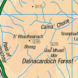
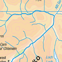
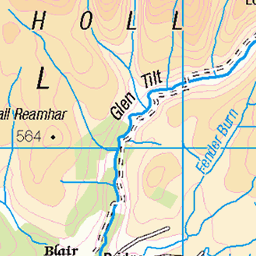
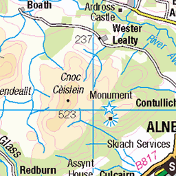
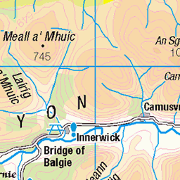
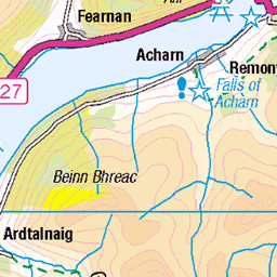
OS Map of Carn Caol
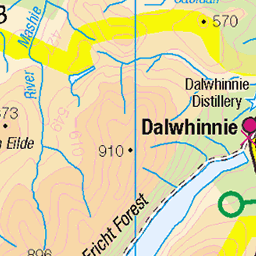
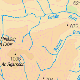
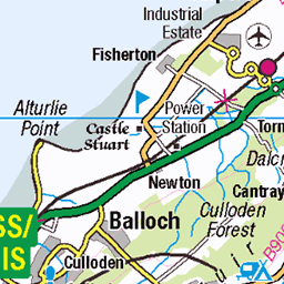
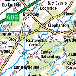
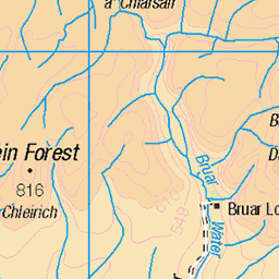
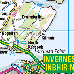
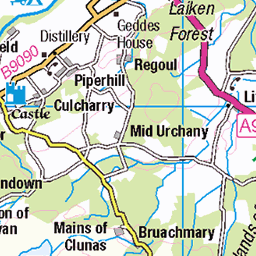
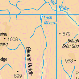
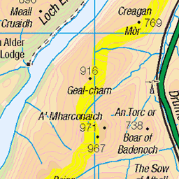
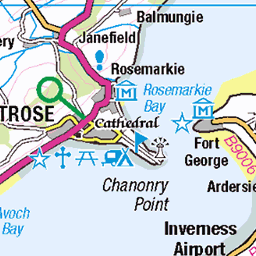
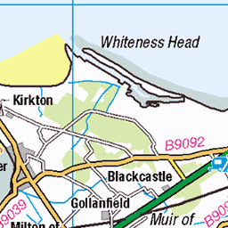
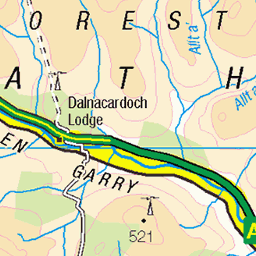
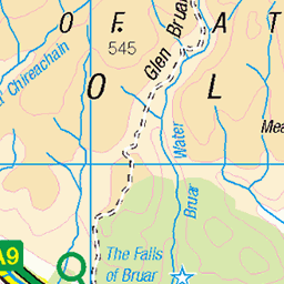
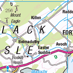
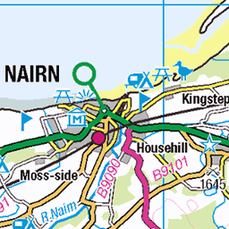
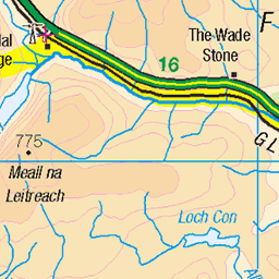
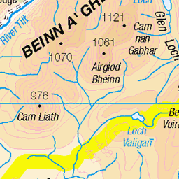
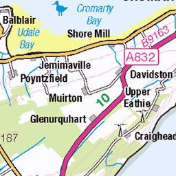
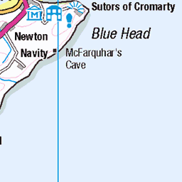
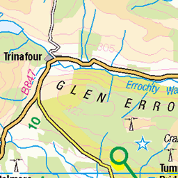
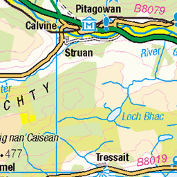
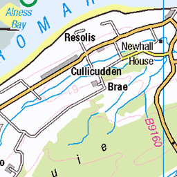
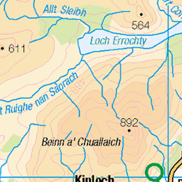
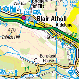
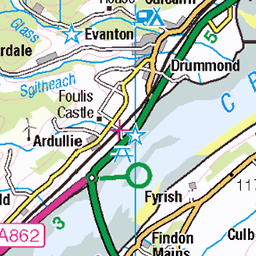
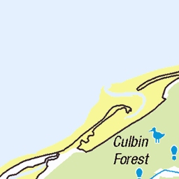
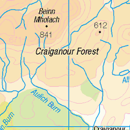
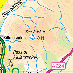
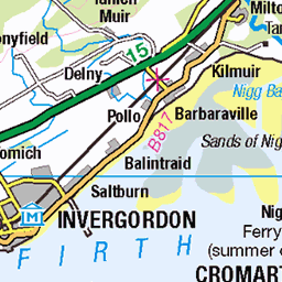
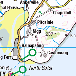
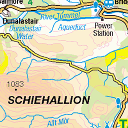
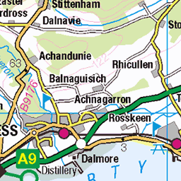
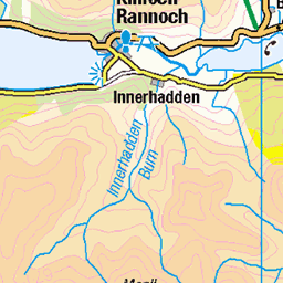
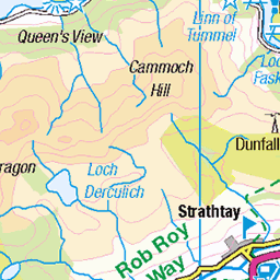
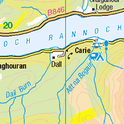
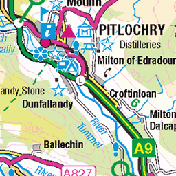
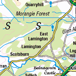
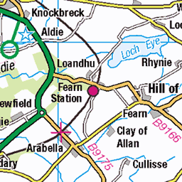
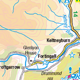
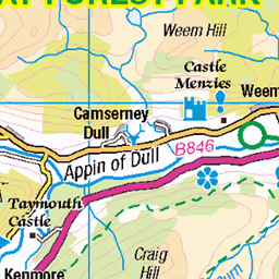
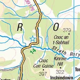
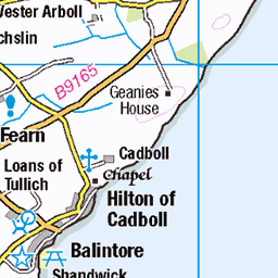
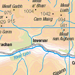
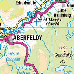
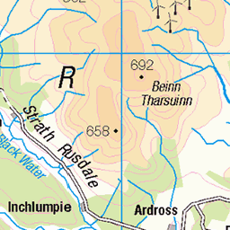
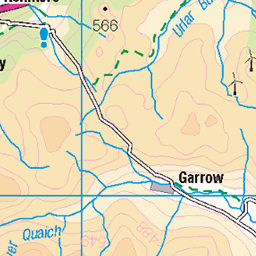
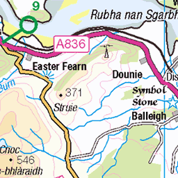
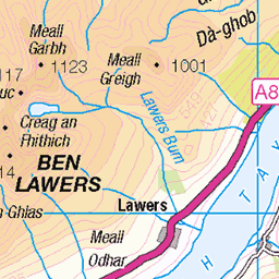
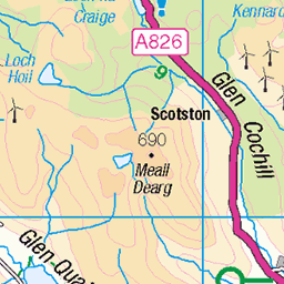
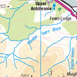
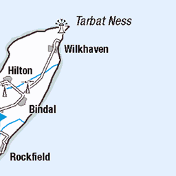
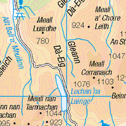
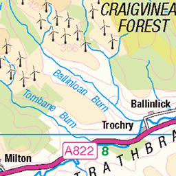
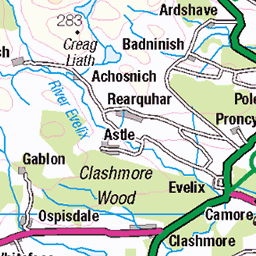
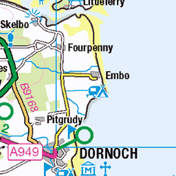
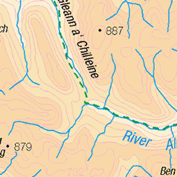
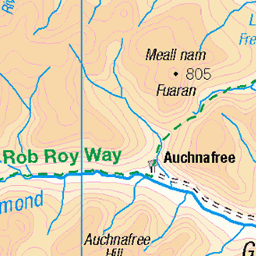
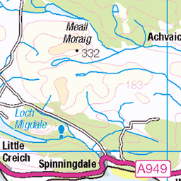
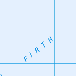
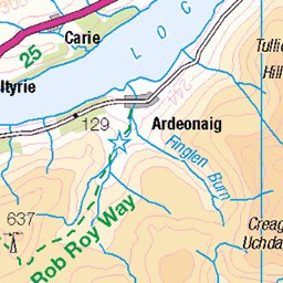
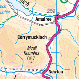
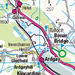
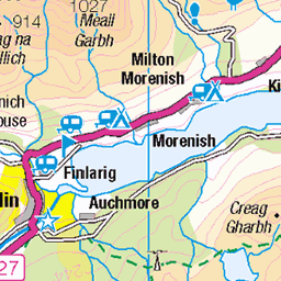
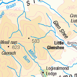
OS Map
This is OS mapping. In some areas, OpenStreetMap shows more footpaths
Spatial NI has online OSNI mapping. Click "Basemap Gallery" (4 squares icon at the top).
Now would be a good time for a cup of tea.


GPX Editor
Record map clicks
Reload map
Photos
Please tag your photos and upload them to the British and Irish Mountains group on Flickr
The other photos have been geo-tagged as on or around the summit. For less busy mountains, it can be a little hit and miss.
Videos
The Strathspey Railway Diesel Gala 2022 was held 18th to 20th March. Top-and-tailed brakevan rides were provided at Aviemore ...
The Strathspey railway is one of the best preserved steam trains in the country, Steam Trains are always a great experience & in ...
class37 #scotland #train #railway #royalscotsman #highlands #aviemore #shorts #short #trainstoday.
scotland #train #railway #royalscotsman #highlands #aviemore #shorts #short #trainstoday.
Notes
- Data: Database of British and Irish Hills v18.2
- Maps: We use OS mapping for England, Scotland, Wales, and the Isle of Man. Sadly, Channel Islands, Northern (OSNI) and Southern Ireland (OSI) mapping isn't available online, so we use Openstreetmap.