Hills of Britain and Ireland
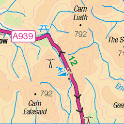
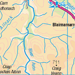
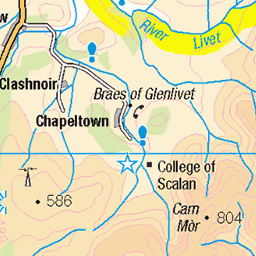
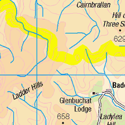
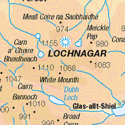
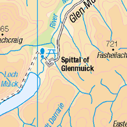
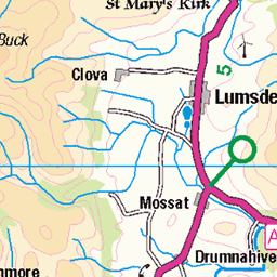
OS Map of Fox Cairn
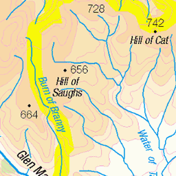
Height: 656m / 2153ft • Prominence: 58m / 190ft • Summit : small cairn • Trip reports (hill-bagging)

P1 Richarkarie bridge & lime kiln
The disused bridge and old lime kiln by the A939 above Gairnshiel.
28-Apr-17 • Grahamtravels • flickr
33606917664

P3 Shenval
By the roadside this old ruin was once an occupied house.
28-Apr-17 • Grahamtravels • flickr
33606902404

P5 Shenval lime kiln
The old lime kiln associated with the former farm by the side of the A939.
28-Apr-17 • Grahamtravels • flickr
33639153003

P11 Moss & lichens Moine Buidhe
Up on the moors the Moine Buidhe, or yellow moss, has many colourful lichens and mosses on a high plateau.
28-Apr-17 • Grahamtravels • flickr
33639146243

P14 Moine Buidhe ice pool
Wet pools on the moss still have ice in late April.
28-Apr-17 • Grahamtravels • flickr
34318525801

P16 Morven from Carn a Bhacain
The view east to Morven with a touch of snow still visible.
28-Apr-17 • Grahamtravels • flickr
33639117003
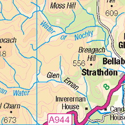
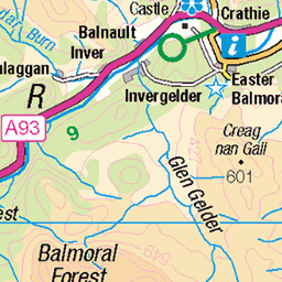
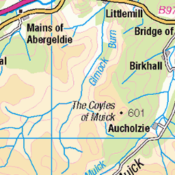
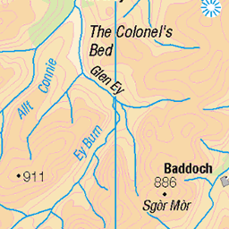
OS Map
This is OS mapping. In some areas, OpenStreetMap shows more footpaths
Spatial NI has online OSNI mapping. Click "Basemap Gallery" (4 squares icon at the top).
Now would be a good time for a cup of tea.

GPX Editor
Record map clicks
Reload map
Photos
Please tag your photos and upload them to the British and Irish Mountains group on Flickr
The other photos have been geo-tagged as on or around the summit. For less busy mountains, it can be a little hit and miss.
P1 Richarkarie bridge & lime kiln
The disused bridge and old lime kiln by the A939 above Gairnshiel.
28-Apr-17 • Grahamtravels • flickr
33606917664
P3 Shenval
By the roadside this old ruin was once an occupied house.
28-Apr-17 • Grahamtravels • flickr
33606902404
P5 Shenval lime kiln
The old lime kiln associated with the former farm by the side of the A939.
28-Apr-17 • Grahamtravels • flickr
33639153003
P11 Moss & lichens Moine Buidhe
Up on the moors the Moine Buidhe, or yellow moss, has many colourful lichens and mosses on a high plateau.
28-Apr-17 • Grahamtravels • flickr
33639146243
P14 Moine Buidhe ice pool
Wet pools on the moss still have ice in late April.
28-Apr-17 • Grahamtravels • flickr
34318525801
P16 Morven from Carn a Bhacain
The view east to Morven with a touch of snow still visible.
28-Apr-17 • Grahamtravels • flickr
33639117003

P18 Strathdon hills
The view north to the hills of Strathdon, above the cultivated glen.
28-Apr-17 • Grahamtravels • flickr
34064257710

P21 Common lizard on Comack Hill
Crossing the moss, a lizard making the most of the April sunshine.
28-Apr-17 • Grahamtravels • flickr
34064248000

P23 Stone shelter Comack Hill
West of Carn a Bhacain this small shelter sits on the plateau of Comack Hill, overlooking Glen Gairn.
28-Apr-17 • Grahamtravels • flickr
34064236930

P24 Snow filled shelter Comack Hill
In late April its interior is still choked with snow.
28-Apr-17 • Grahamtravels • flickr
33639074003
Videos
None found
Notes
- Data: Database of British and Irish Hills v18.2
- Maps: We use OS mapping for England, Scotland, Wales, and the Isle of Man. Sadly, Channel Islands, Northern (OSNI) and Southern Ireland (OSI) mapping isn't available online, so we use Openstreetmap.