Hills of Britain and Ireland
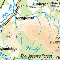
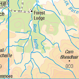
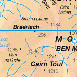
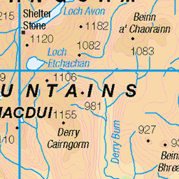
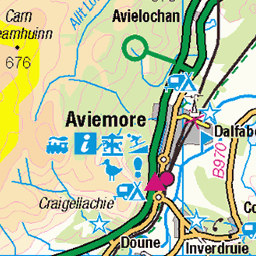
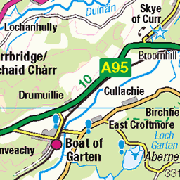
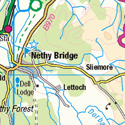
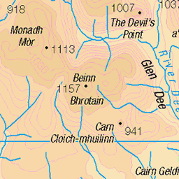
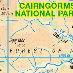
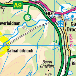
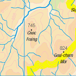
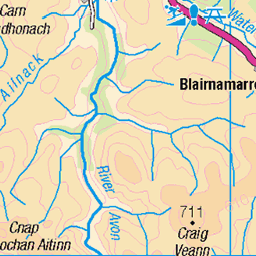
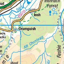
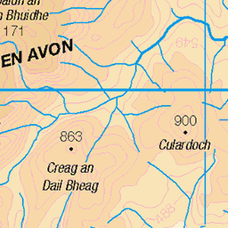
OS Map of Airgiod-meall
Height: 643m / 2110ft • Prominence: 77m / 253ft • Summit : boulder 2m NE of cairn • Trip reports (hill-bagging)

Meall a' Bhuachaille and Loch Morlich
12-Feb-25 • Mrs Butterbur • flickr
meall a bhuachaille corbett mountain scotland winter february snow cairngorms 54327997318

Chalamain
Camino a la brecha de Chalamain. Parque Nacional Cairngorms, Escocia.
22-Aug-23 • Paulo Etxeberria • flickr
chalamain chalamaingap parquenacionalcairngorms cairngormsnationalpark cairngormsparkenazionala cairngorms scottishhighlands highlands eskozia escocia scotland alba paisaia paisaje landscape paysage bidea camino path chemin mendizalea montañera hiker randonneur txilarra brezo heather bruyère 53164467370


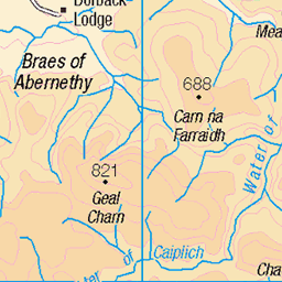
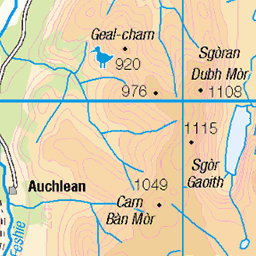
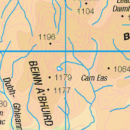
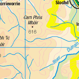
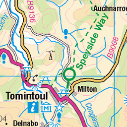
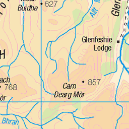
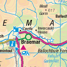
OS Map
This is OS mapping. In some areas, OpenStreetMap shows more footpaths
Spatial NI has online OSNI mapping. Click "Basemap Gallery" (4 squares icon at the top).
Now would be a good time for a cup of tea.
GPX Editor
Record map clicks
Reload map
Photos
Please tag your photos and upload them to the British and Irish Mountains group on Flickr
The other photos have been geo-tagged as on or around the summit. For less busy mountains, it can be a little hit and miss.
Meall a' Bhuachaille and Loch Morlich
12-Feb-25 • Mrs Butterbur • flickr
meall a bhuachaille corbett mountain scotland winter february snow cairngorms 54327997318
Chalamain
Camino a la brecha de Chalamain. Parque Nacional Cairngorms, Escocia.
22-Aug-23 • Paulo Etxeberria • flickr
chalamain chalamaingap parquenacionalcairngorms cairngormsnationalpark cairngormsparkenazionala cairngorms scottishhighlands highlands eskozia escocia scotland alba paisaia paisaje landscape paysage bidea camino path chemin mendizalea montañera hiker randonneur txilarra brezo heather bruyère 53164467370


Videos
corbetts #scottish hills #aviemore Meall a Bhuachaille - A walk up & run down A superb hill with easy access from the car. I walked ...
Notes
- Data: Database of British and Irish Hills v18.2
- Maps: We use OS mapping for England, Scotland, Wales, and the Isle of Man. Sadly, Channel Islands, Northern (OSNI) and Southern Ireland (OSI) mapping isn't available online, so we use Openstreetmap.