Hills of Britain and Ireland
OS Map of Craiggowrie
Height: 687m / 2254ft • Prominence: 34m / 112ft • Trip reports (hill-bagging)

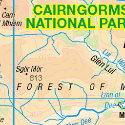
Cairngorms
14-Feb-25 • Mrs Butterbur • flickr
scotland winter february snow cairngorms track forest 54328002943


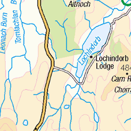
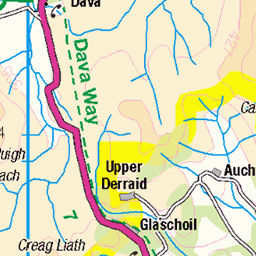
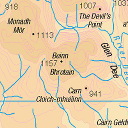
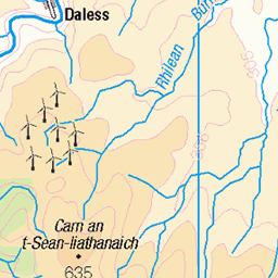
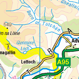
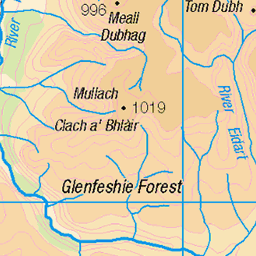
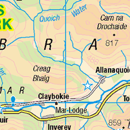
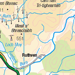
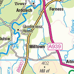
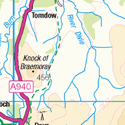
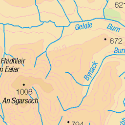
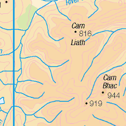
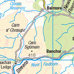
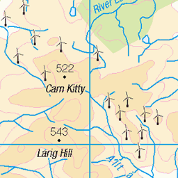
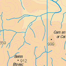
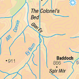
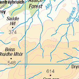
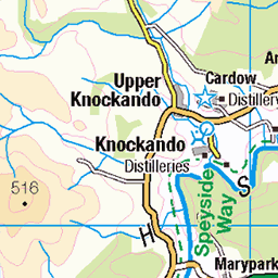
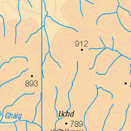
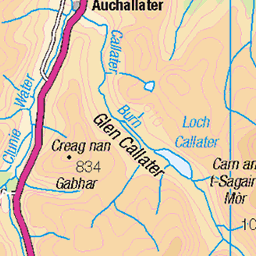
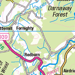
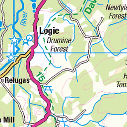
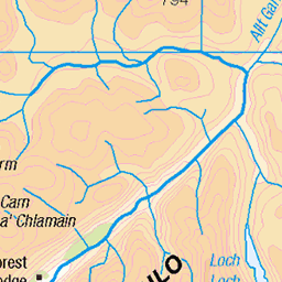
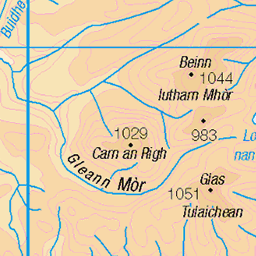
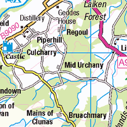
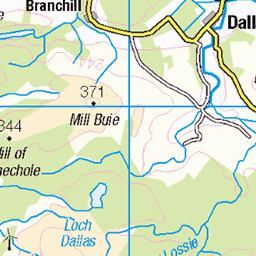
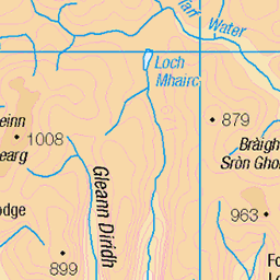
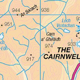
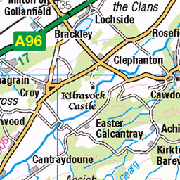
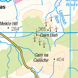
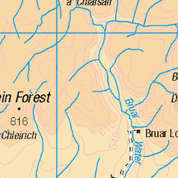
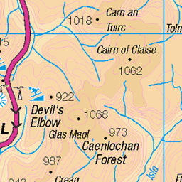
OS Map
This is OS mapping. In some areas, OpenStreetMap shows more footpaths
Spatial NI has online OSNI mapping. Click "Basemap Gallery" (4 squares icon at the top).
Now would be a good time for a cup of tea.
GPX Editor
Record map clicks
Reload map
Photos
Please tag your photos and upload them to the British and Irish Mountains group on Flickr
The other photos have been geo-tagged as on or around the summit. For less busy mountains, it can be a little hit and miss.
Cairngorms
14-Feb-25 • Mrs Butterbur • flickr
scotland winter february snow cairngorms track forest 54328002943


P1060905 (Large)
looking out to the rest of the ridge - Creggan Gown and then Craiggowrie
21-May-13 • eric.hart • flickr
8774564098

P1060922 (Large)
Where we have been (at left) and where we are still to go (at right)
21-May-13 • eric.hart • flickr
8774562204
Videos
A two day traverse with a camp near the high point of the famous Scottish hill pass known as the Lairig Ghru from Linn of Dee ...
Speedriding from Meall a Bhucachaille and Craiggowrie on a Gin Yak 18. 31st January 2021 Music: https://www.bensound.com.
Notes
- Data: Database of British and Irish Hills v18.2
- Maps: We use OS mapping for England, Scotland, Wales, and the Isle of Man. Sadly, Channel Islands, Northern (OSNI) and Southern Ireland (OSI) mapping isn't available online, so we use Openstreetmap.