Hills of Britain and Ireland
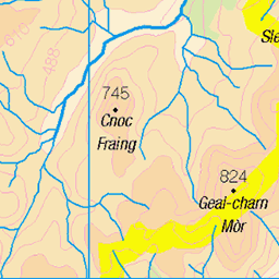
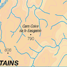
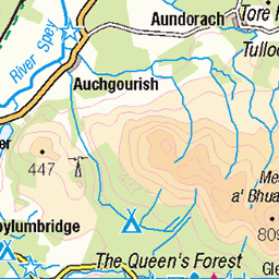
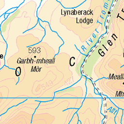
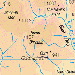
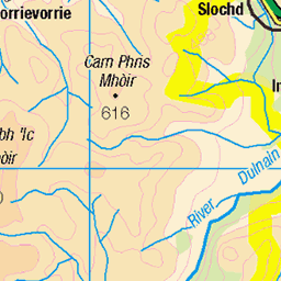
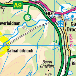
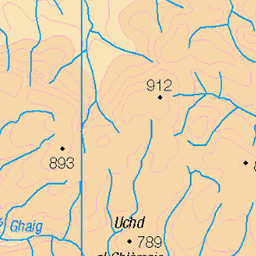
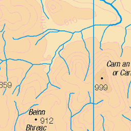
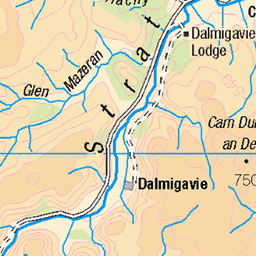
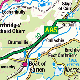
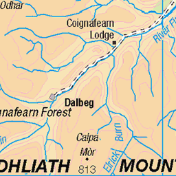
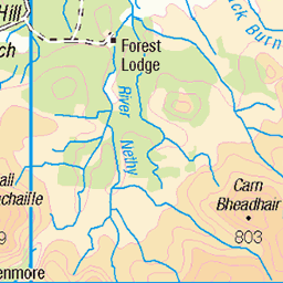
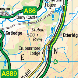
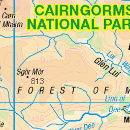
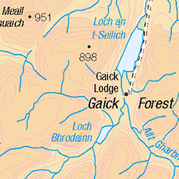
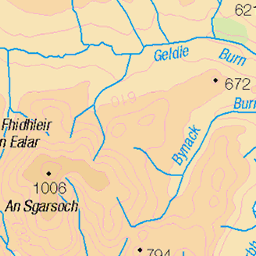
OS Map of Creag Mhigeachaidh
Height: 743m / 2439ft • Prominence: 73m / 240ft • Summit : boulder 25m S of cairn • Trip reports (hill-bagging)

Allt Ruadh
En el valle del Allt Ruadh, camino de Sgòr Gaoith. Parque Nacional Cairngorms, Escocia.
21-Aug-23 • Paulo Etxeberria • flickr
sgòrgaoith alltruadh parquenacionalcairngorms cairngormsnationalpark cairngormsparkenazionala cairngorms scottishhighlands highlands eskozia escocia scotland alba glenfeshie paisaia paisaje landscape paysage txilarra brezo heather bruyère scotspines caledonianforest pinussylvestris 53160141182


Caledonian Pinewood
Ancient Caledonian Pinewood along the ridgeline in Glen Feshie.
pine pinewood forest woodland ancient nature natural faeshie mountain hill ridge sun invernesshiremhighlands scotland heather tumble 48084569771
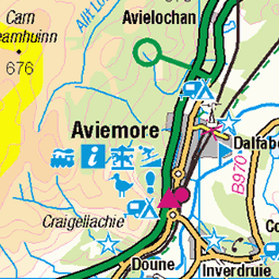
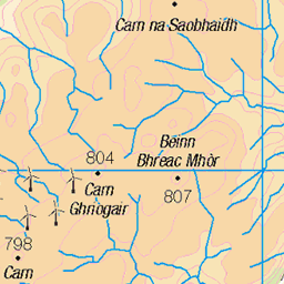
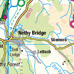
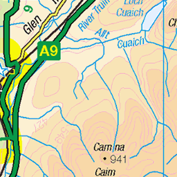
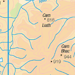
OS Map
This is OS mapping. In some areas, OpenStreetMap shows more footpaths
Spatial NI has online OSNI mapping. Click "Basemap Gallery" (4 squares icon at the top).
Now would be a good time for a cup of tea.
GPX Editor
Record map clicks
Reload map
Photos
Please tag your photos and upload them to the British and Irish Mountains group on Flickr
The other photos have been geo-tagged as on or around the summit. For less busy mountains, it can be a little hit and miss.
Allt Ruadh
En el valle del Allt Ruadh, camino de Sgòr Gaoith. Parque Nacional Cairngorms, Escocia.
21-Aug-23 • Paulo Etxeberria • flickr
sgòrgaoith alltruadh parquenacionalcairngorms cairngormsnationalpark cairngormsparkenazionala cairngorms scottishhighlands highlands eskozia escocia scotland alba glenfeshie paisaia paisaje landscape paysage txilarra brezo heather bruyère scotspines caledonianforest pinussylvestris 53160141182
Caledonian Pinewood
Ancient Caledonian Pinewood along the ridgeline in Glen Feshie.
pine pinewood forest woodland ancient nature natural faeshie mountain hill ridge sun invernesshiremhighlands scotland heather tumble 48084569771


Videos
None found
Notes
- Data: Database of British and Irish Hills v18.2
- Maps: We use OS mapping for England, Scotland, Wales, and the Isle of Man. Sadly, Channel Islands, Northern (OSNI) and Southern Ireland (OSI) mapping isn't available online, so we use Openstreetmap.