Hills of Britain and Ireland
OS Map of Clachan Yell
Height: 626m / 2054ft • Prominence: 91m / 299ft • Summit : outcrop 1m N of cairn on tor • Trip reports (hill-bagging)


Under the milky way tonight
View from the bivi. A good night under the stars.
23-Aug-15 • We travel the Spaceways • flickr
stars 20845771255


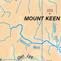
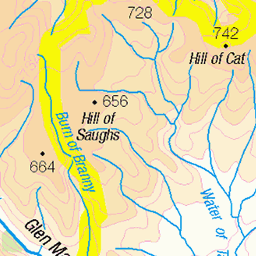
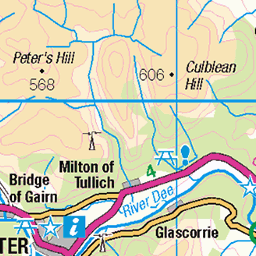
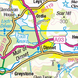
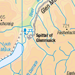
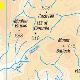
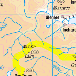
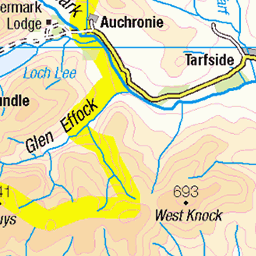
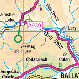
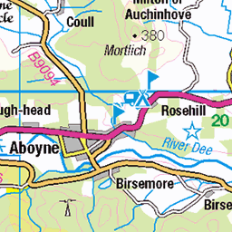
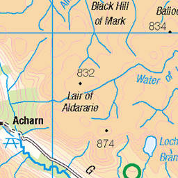
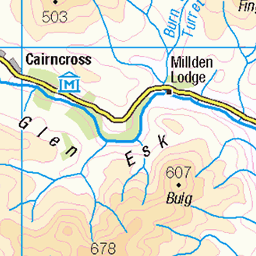
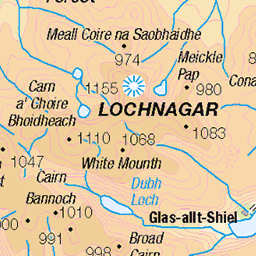
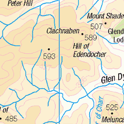
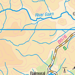
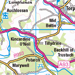
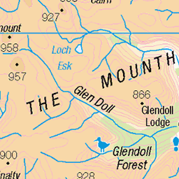
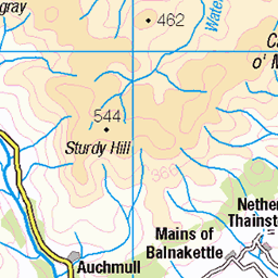
OS Map
This is OS mapping. In some areas, OpenStreetMap shows more footpaths
Spatial NI has online OSNI mapping. Click "Basemap Gallery" (4 squares icon at the top).
Now would be a good time for a cup of tea.
GPX Editor
Record map clicks
Reload map
Photos
Please tag your photos and upload them to the British and Irish Mountains group on Flickr
The other photos have been geo-tagged as on or around the summit. For less busy mountains, it can be a little hit and miss.
Under the milky way tonight
View from the bivi. A good night under the stars.
23-Aug-15 • We travel the Spaceways • flickr
stars 20845771255


The ancient forest of Glen Tanar
05-Feb-11 • Nick Bramhall • flickr
landscape scotland glentanar 5419521223
Videos
None found
Notes
- Data: Database of British and Irish Hills v18.2
- Maps: We use OS mapping for England, Scotland, Wales, and the Isle of Man. Sadly, Channel Islands, Northern (OSNI) and Southern Ireland (OSI) mapping isn't available online, so we use Openstreetmap.