Hills of Britain and Ireland
OS Map of Dun Mor

Glen Tilt crossing from Bein a'Ghlo
20-May-18 • myerscoughpaul • flickr
events places scotland tgochallenge uk unitedkingdom gb 41690234324

Glen Tilt bridge at Falls of Tarf
20-May-18 • myerscoughpaul • flickr
events places scotland tgochallenge uk unitedkingdom gb 42413624291

Falls of Tarf
20-May-18 • myerscoughpaul • flickr
events places scotland tgochallenge uk unitedkingdom gb 41690218344

Glen Tilt to Fealar Lodge
20-May-18 • myerscoughpaul • flickr
events places scotland tgochallenge uk unitedkingdom gb 28540225098

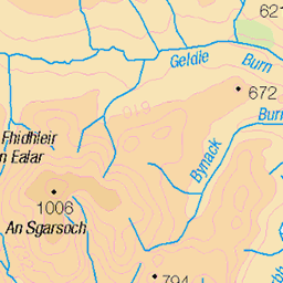
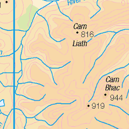
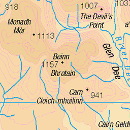
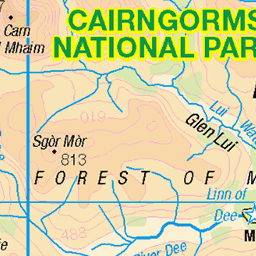
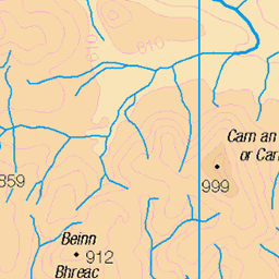
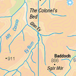
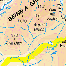
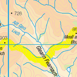
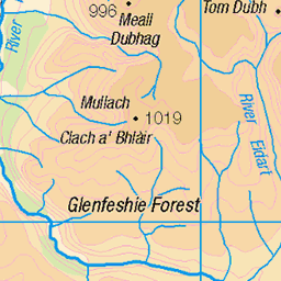
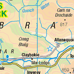
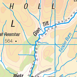
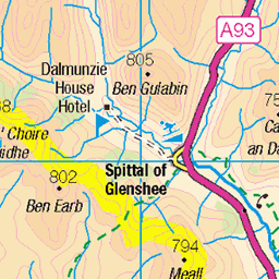
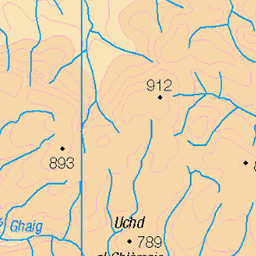
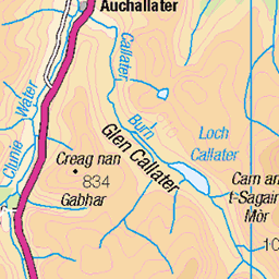
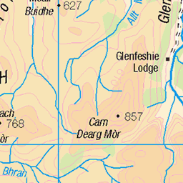
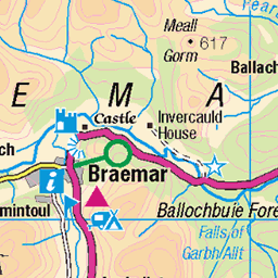
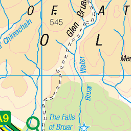
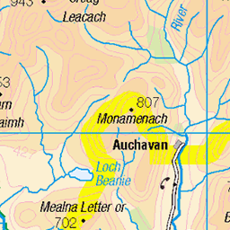
OS Map
This is OS mapping. In some areas, OpenStreetMap shows more footpaths
Spatial NI has online OSNI mapping. Click "Basemap Gallery" (4 squares icon at the top).
Now would be a good time for a cup of tea.
GPX Editor
Record map clicks
Reload map
Photos
Please tag your photos and upload them to the British and Irish Mountains group on Flickr
The other photos have been geo-tagged as on or around the summit. For less busy mountains, it can be a little hit and miss.
Glen Tilt crossing from Bein a'Ghlo
20-May-18 • myerscoughpaul • flickr
events places scotland tgochallenge uk unitedkingdom gb 41690234324
Glen Tilt bridge at Falls of Tarf
20-May-18 • myerscoughpaul • flickr
events places scotland tgochallenge uk unitedkingdom gb 42413624291
Falls of Tarf
20-May-18 • myerscoughpaul • flickr
events places scotland tgochallenge uk unitedkingdom gb 41690218344
Glen Tilt to Fealar Lodge
20-May-18 • myerscoughpaul • flickr
events places scotland tgochallenge uk unitedkingdom gb 28540225098
Videos
In April 2022, I set out with two mates to try and summit all 26 Corbetts within the greater Cairngorms National Park in a ...
Notes
- Data: Database of British and Irish Hills v18.2
- Maps: We use OS mapping for England, Scotland, Wales, and the Isle of Man. Sadly, Channel Islands, Northern (OSNI) and Southern Ireland (OSI) mapping isn't available online, so we use Openstreetmap.