Hills of Britain and Ireland
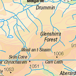
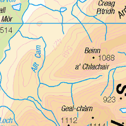
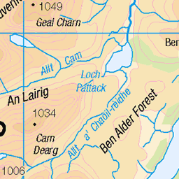
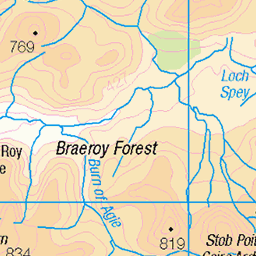
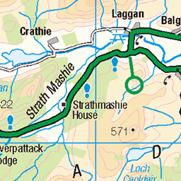
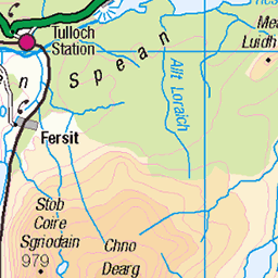
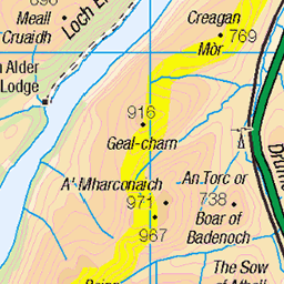
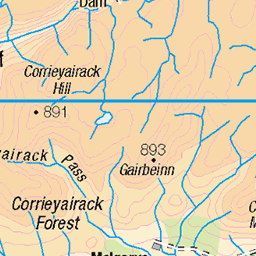
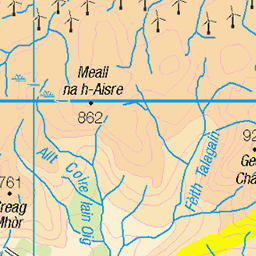
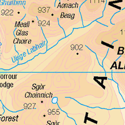
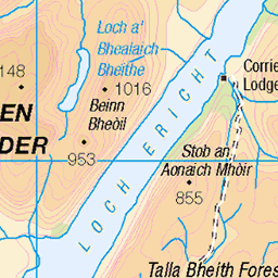
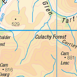
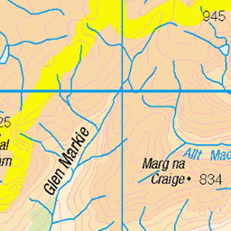
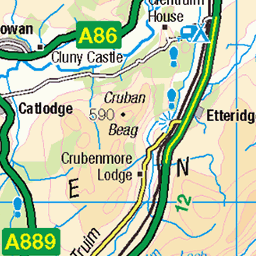
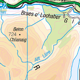
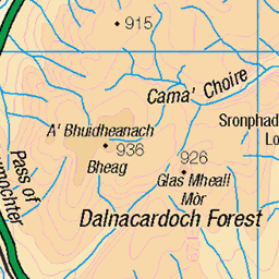
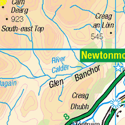
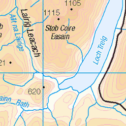
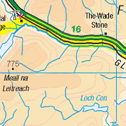
OS Map of Creag a' Chuir
Height: 643m / 2110ft • Prominence: 108m / 354ft • Summit : rock on outcrop • Trip reports (hill-bagging)


DSC_6094
22-May-19 • Stuart Lilley Photography • flickr
newtonmore scotland unitedkingdom 50488313322

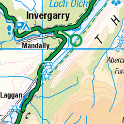
Entering Laggan Forest
Back on the East Highland Way proper, we headed back into more forest. Read about my East Highland Way trip at ramblingman.org.uk/walks/east-highland-way/" rel="nofollow ramblingman.org.uk/walks/east-highland-way/
scotland highlands walk scottishhighlands easthighlandway tullochtofeagourwalk easthighlandwayday3 lagganforest 15218270040
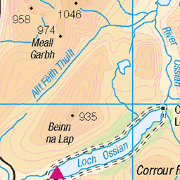
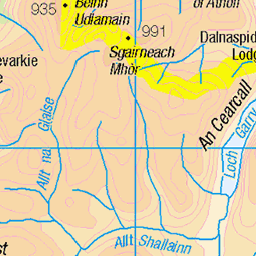
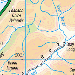
OS Map
This is OS mapping. In some areas, OpenStreetMap shows more footpaths
Spatial NI has online OSNI mapping. Click "Basemap Gallery" (4 squares icon at the top).
Now would be a good time for a cup of tea.

GPX Editor
Record map clicks
Reload map
Photos
Please tag your photos and upload them to the British and Irish Mountains group on Flickr
The other photos have been geo-tagged as on or around the summit. For less busy mountains, it can be a little hit and miss.
DSC_6094
22-May-19 • Stuart Lilley Photography • flickr
newtonmore scotland unitedkingdom 50488313322
Entering Laggan Forest
Back on the East Highland Way proper, we headed back into more forest. Read about my East Highland Way trip at ramblingman.org.uk/walks/east-highland-way/" rel="nofollow ramblingman.org.uk/walks/east-highland-way/
scotland highlands walk scottishhighlands easthighlandway tullochtofeagourwalk easthighlandwayday3 lagganforest 15218270040
Videos
None found
Notes
- Data: Database of British and Irish Hills v18.2
- Maps: We use OS mapping for England, Scotland, Wales, and the Isle of Man. Sadly, Channel Islands, Northern (OSNI) and Southern Ireland (OSI) mapping isn't available online, so we use Openstreetmap.