Hills of Britain and Ireland
OS Map of Beinn Bheag


The Buachaille
Buachaille Etive Mòr, iconic mountain in Glencoe, Scotland
30-Sep-24 • Henry Hemming • flickr
54071289223


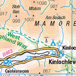
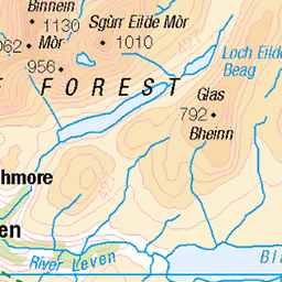
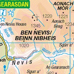
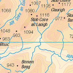
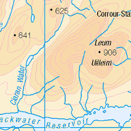
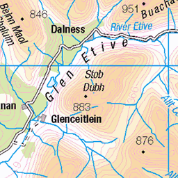
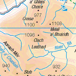
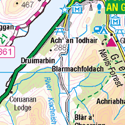
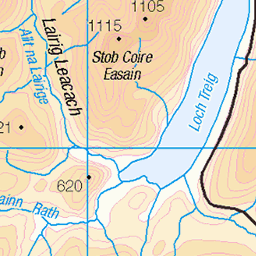
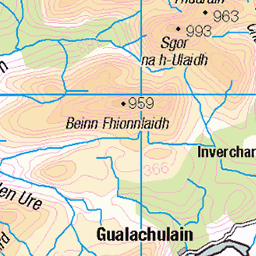
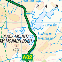
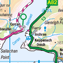
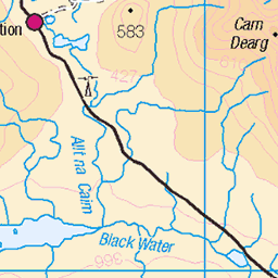
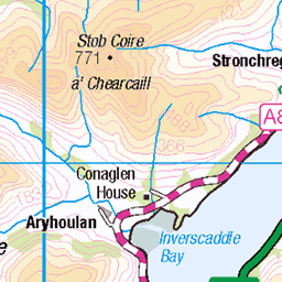
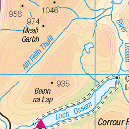
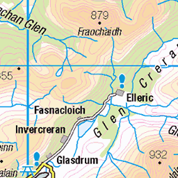
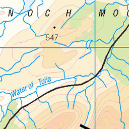
OS Map
This is OS mapping. In some areas, OpenStreetMap shows more footpaths
Spatial NI has online OSNI mapping. Click "Basemap Gallery" (4 squares icon at the top).
Now would be a good time for a cup of tea.

GPX Editor
Record map clicks
Reload map
Photos
Please tag your photos and upload them to the British and Irish Mountains group on Flickr
The other photos have been geo-tagged as on or around the summit. For less busy mountains, it can be a little hit and miss.
The Buachaille
Buachaille Etive Mòr, iconic mountain in Glencoe, Scotland
30-Sep-24 • Henry Hemming • flickr
54071289223


4018 Beinn Bheag
Rather wet now, last top of the day with the magnificent seven. Name:Beinn Bheag Hill number:4018 Height:616m / 2021ft Parent (Ma):178 Aonach Eagach - Sgorr nam Fiannaidh RHB Section:03A: Loch Leven to Rannoch Station County/UA:Highland (UA) Catchment:Etive, Catchment Boundaries, Leven (Loch) Class:Simm, Graham Top Grid ref:NN 22098 57969 Summit feature:East cairn Drop:68m Col:548m NN215575 Observations:rock 5m SE of west cairn at NN 22047 57949 is as high Survey:Abney level
01-Sep-12 • Dugswell2 • flickr
p68 tump simm grahamtop beinnbheag 52514682655


Videos
Buachaille etive mor.The two munros stob Dearg and stob na broige are inbetween the Buachaille etive mor ridge. Buachaille ...
A short film from last mountain adventures - Beinn Ghlas, Ben Lawers, Stob Coire nan Lochan, Bidean nam Bian, Meall nan ...
Name: Garbh Bheinn Classifications: Corbett, Marilyn Area: Kinlochleven Height: 867m / 2844ft Grid Ref. NN 16950 60080 ...
Notes
- Data: Database of British and Irish Hills v18.2
- Maps: We use OS mapping for England, Scotland, Wales, and the Isle of Man. Sadly, Channel Islands, Northern (OSNI) and Southern Ireland (OSI) mapping isn't available online, so we use Openstreetmap.