Hills of Britain and Ireland
OS Map of Creag an Lochain

Schiehallion seen from Fraragon Hill
10-May-18 • Paweł Błaszak • flickr
landscape nature grampians uk mountains scotland 46471707945

On top of Farragon Hill
Chris, me and Stuart (l-r) on top of Farragon Hill, taken with the selftimer. Not a cloud in sight all day.
03-Feb-07 • benmordue • flickr
geotagged scotland corbett selftimer bunkhouse hillwalking farragon geo:altitude=783 379635805

Descending from Farragon Hill
Stuart negotiating a steep gulley on the way down from Farragon Hill.
03-Feb-07 • benmordue • flickr
geotagged scotland corbett bunkhouse hillwalking farragon 379652918
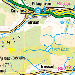
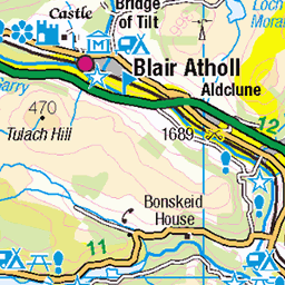
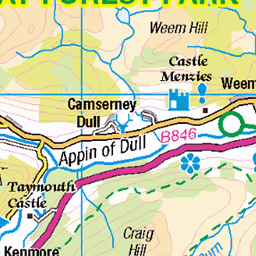
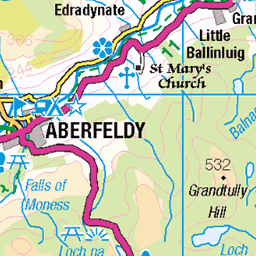
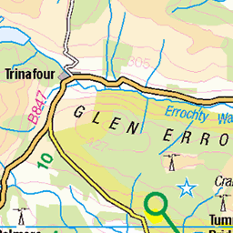
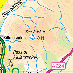
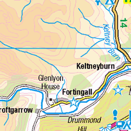
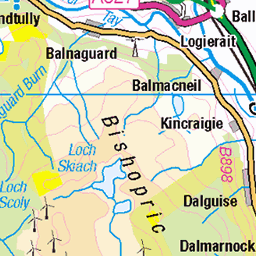
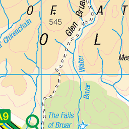
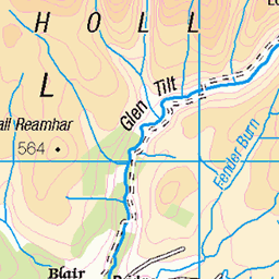
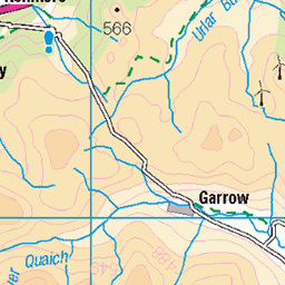
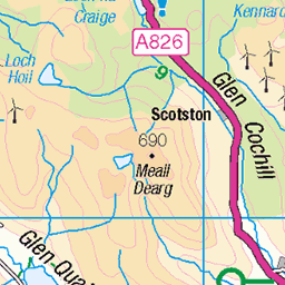
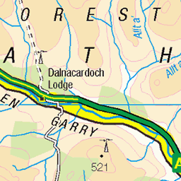
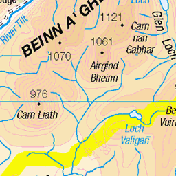
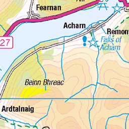
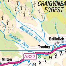
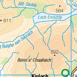
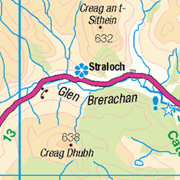
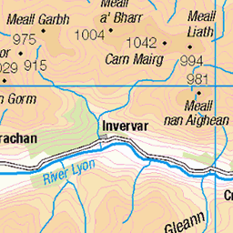
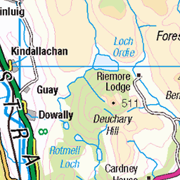
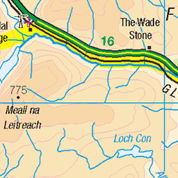
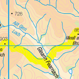
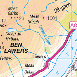
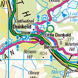
OS Map
This is OS mapping. In some areas, OpenStreetMap shows more footpaths
Spatial NI has online OSNI mapping. Click "Basemap Gallery" (4 squares icon at the top).
Now would be a good time for a cup of tea.
GPX Editor
Record map clicks
Reload map
Photos
Please tag your photos and upload them to the British and Irish Mountains group on Flickr
The other photos have been geo-tagged as on or around the summit. For less busy mountains, it can be a little hit and miss.
Schiehallion seen from Fraragon Hill
10-May-18 • Paweł Błaszak • flickr
landscape nature grampians uk mountains scotland 46471707945
On top of Farragon Hill
Chris, me and Stuart (l-r) on top of Farragon Hill, taken with the selftimer. Not a cloud in sight all day.
03-Feb-07 • benmordue • flickr
geotagged scotland corbett selftimer bunkhouse hillwalking farragon geo:altitude=783 379635805
Descending from Farragon Hill
Stuart negotiating a steep gulley on the way down from Farragon Hill.
03-Feb-07 • benmordue • flickr
geotagged scotland corbett bunkhouse hillwalking farragon 379652918
Videos
Càrn Gorm, Meall Garbh, Càrn Mairg and Creag Mhor in Glenlyon. 4 Munro's in one day.
Notes
- Data: Database of British and Irish Hills v18.2
- Maps: We use OS mapping for England, Scotland, Wales, and the Isle of Man. Sadly, Channel Islands, Northern (OSNI) and Southern Ireland (OSI) mapping isn't available online, so we use Openstreetmap.