Hills of Britain and Ireland
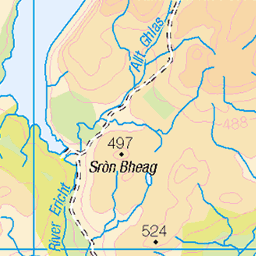
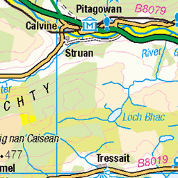
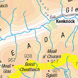
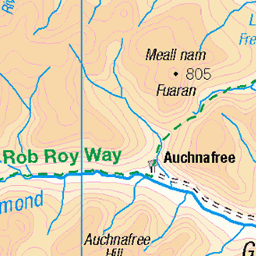
OS Map of Creag Ard
Height: 741m / 2431ft • Prominence: 38m / 125ft • Summit : no feature 60m NNW of cairn • Trip reports (hill-bagging)

delicately frosted
19-Nov-16 • soulfulpoignant • flickr
aberfeldy highlands scottish scotland snow ice winter wintry field fields scottishhighlands mountains stonewall 31398651480

Glen Lyon and the river Lyon
A nice afternoon in Perthshire.
10-Oct-16 • eric robb niven • flickr
ericrobbniven scotland glenlyon perthshire landscape 29623236184

Early Autumn in Glen Lyon
From my bike near Innerwick in Glen Lyon.
11-Sep-15 • eric robb niven • flickr
landscape cycling scotland dundee outdoor perthshire glenlyon ericrobbniven 23285901443

5.The road to Innerwick
01-Dec-13 • Islay - West End • flickr
kitturner adamoriordan kitoriordan wife 27627588142


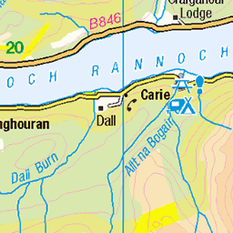
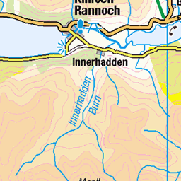
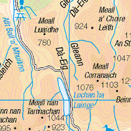
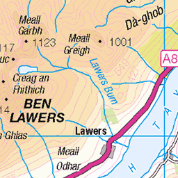
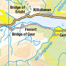
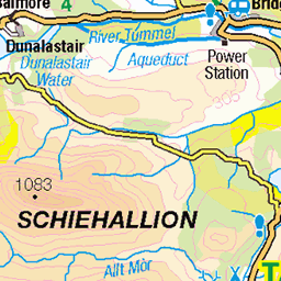
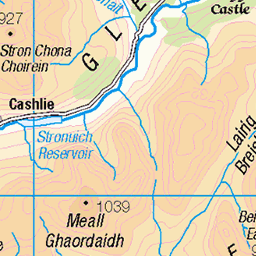
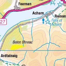
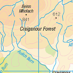
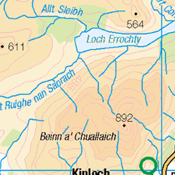
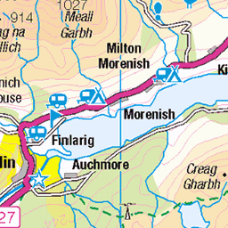
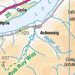
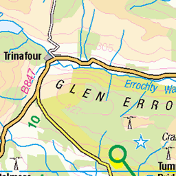
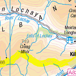
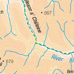
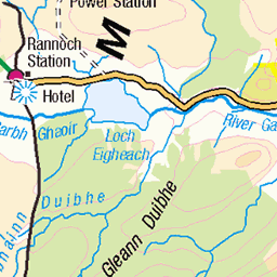
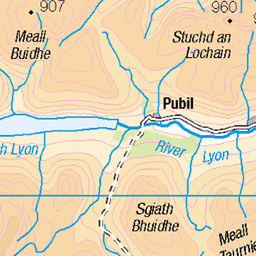
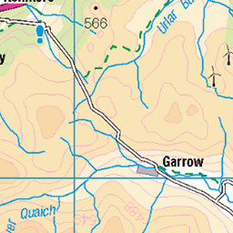
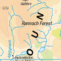
OS Map
This is OS mapping. In some areas, OpenStreetMap shows more footpaths
Spatial NI has online OSNI mapping. Click "Basemap Gallery" (4 squares icon at the top).
Now would be a good time for a cup of tea.

GPX Editor
Record map clicks
Reload map
Photos
Please tag your photos and upload them to the British and Irish Mountains group on Flickr
The other photos have been geo-tagged as on or around the summit. For less busy mountains, it can be a little hit and miss.
delicately frosted
19-Nov-16 • soulfulpoignant • flickr
aberfeldy highlands scottish scotland snow ice winter wintry field fields scottishhighlands mountains stonewall 31398651480
Glen Lyon and the river Lyon
A nice afternoon in Perthshire.
10-Oct-16 • eric robb niven • flickr
ericrobbniven scotland glenlyon perthshire landscape 29623236184
Early Autumn in Glen Lyon
From my bike near Innerwick in Glen Lyon.
11-Sep-15 • eric robb niven • flickr
landscape cycling scotland dundee outdoor perthshire glenlyon ericrobbniven 23285901443
5.The road to Innerwick
01-Dec-13 • Islay - West End • flickr
kitturner adamoriordan kitoriordan wife 27627588142
Videos
None found
Notes
- Data: Database of British and Irish Hills v18.2
- Maps: We use OS mapping for England, Scotland, Wales, and the Isle of Man. Sadly, Channel Islands, Northern (OSNI) and Southern Ireland (OSI) mapping isn't available online, so we use Openstreetmap.