Hills of Britain and Ireland
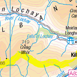
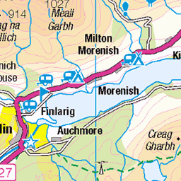
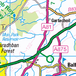
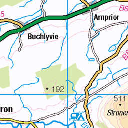
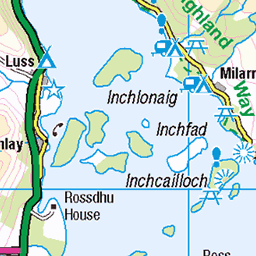
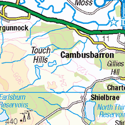
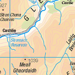
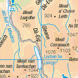
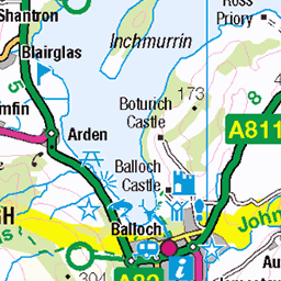
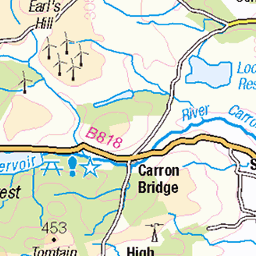
OS Map of Ardnandave Hill


Loch Lubnaig
23-Dec-24 • Dave Dixon LRPS • flickr
scotland loch lubnaig strathyre callander trossachs landscape mono monochrome 54224430804


Which is the snowball?
A wander up a surpassingly snowy Ben Ledi
walking winter scotland perthshire mountaineering gb benledi hillwalking callander view person people snow fun snowball 53557853786

Snowy trees
A wander up a surpassingly snowy Ben Ledi
winter snow scotland perthshire mountaineering gb tree benledi hillwalking callander walking view 53558193309

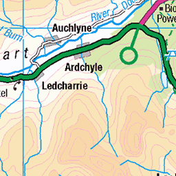
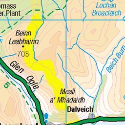
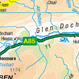
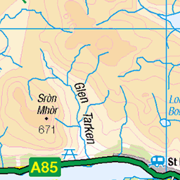
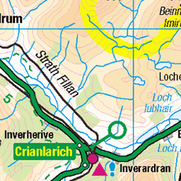
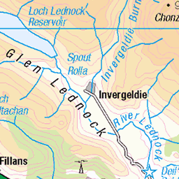
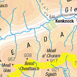
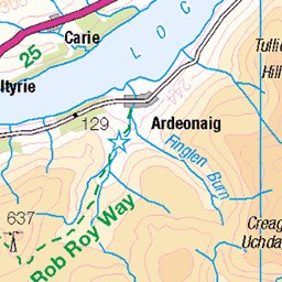
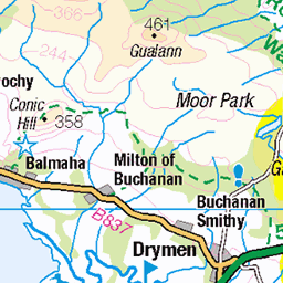
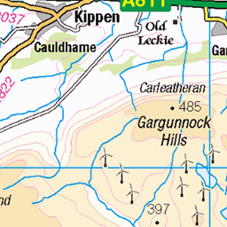
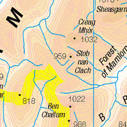
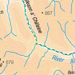
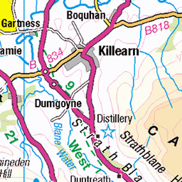
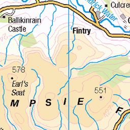
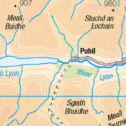
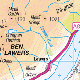
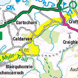
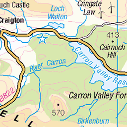
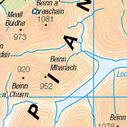
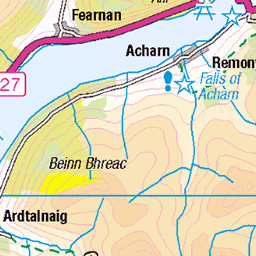
OS Map
This is OS mapping. In some areas, OpenStreetMap shows more footpaths
Spatial NI has online OSNI mapping. Click "Basemap Gallery" (4 squares icon at the top).
Now would be a good time for a cup of tea.
GPX Editor
Record map clicks
Reload map
Photos
Please tag your photos and upload them to the British and Irish Mountains group on Flickr
The other photos have been geo-tagged as on or around the summit. For less busy mountains, it can be a little hit and miss.
Loch Lubnaig
23-Dec-24 • Dave Dixon LRPS • flickr
scotland loch lubnaig strathyre callander trossachs landscape mono monochrome 54224430804
Which is the snowball?
A wander up a surpassingly snowy Ben Ledi
walking winter scotland perthshire mountaineering gb benledi hillwalking callander view person people snow fun snowball 53557853786
Snowy trees
A wander up a surpassingly snowy Ben Ledi
winter snow scotland perthshire mountaineering gb tree benledi hillwalking callander walking view 53558193309


Dolerus niger
summer macro nature animal niger insect photography scotland alba outdoor exploring july olympus hike explore 60mm wandering animalia arthropoda hillwalking gbr hymenoptera insecta lochlubnaig stirlin robroyway tenthredinidae dolerus sruighlea lochlùdnaig 27796469073

2016_06_23_m3
23-Jun-16 • Graham Bland • flickr
infocus highquality 2016scotlandslideshow 27695619160

Clem risked an icy dip in the loch, but we got a photo taken safely!
13-Feb-16 • LauraKateIsCrafty • flickr
square squareformat iphoneography instagramapp uploaded:by=instagram 24706330470
Videos
None found
Notes
- Data: Database of British and Irish Hills v18.2
- Maps: We use OS mapping for England, Scotland, Wales, and the Isle of Man. Sadly, Channel Islands, Northern (OSNI) and Southern Ireland (OSI) mapping isn't available online, so we use Openstreetmap.