Hills of Britain and Ireland
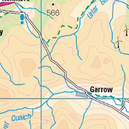
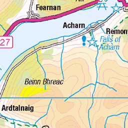
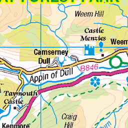
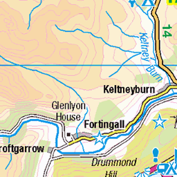
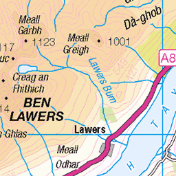
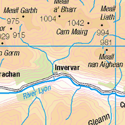
OS Map of Meall Mor
Height: 704m / 2310ft • Prominence: 90m / 295ft • Summit : no feature; ground 5m from fence corner • Trip reports (hill-bagging)

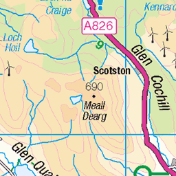
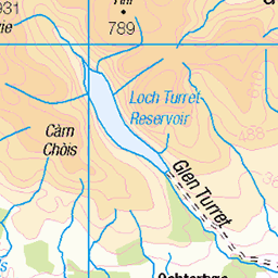
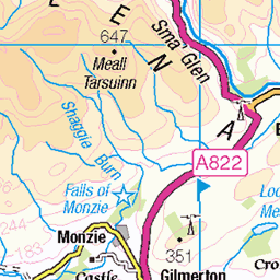
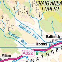
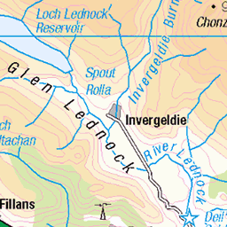
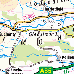
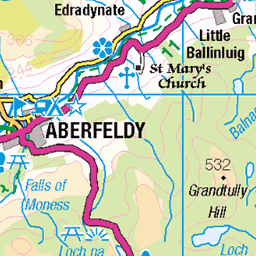
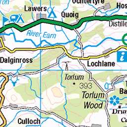
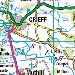
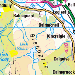
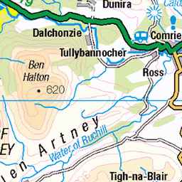
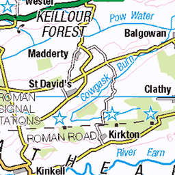
OS Map
This is OS mapping. In some areas, OpenStreetMap shows more footpaths
Spatial NI has online OSNI mapping. Click "Basemap Gallery" (4 squares icon at the top).
Now would be a good time for a cup of tea.
GPX Editor
Record map clicks
Reload map
Photos
Please tag your photos and upload them to the British and Irish Mountains group on Flickr
The other photos have been geo-tagged as on or around the summit. For less busy mountains, it can be a little hit and miss.
Videos
Glen Quaich. Mountain Biking. GPX ROUTES INCLUDED. Drone mtb footage. Drone mtb video. Loch Freuchie. Perthshire ...
Continuing on with our recent theme of Beginner Munros, Ben Chonzie would be a great choice. This Munro can easily be ...
munrobagging #benchonzie #scotland Ben Chonzie is a Munro situated in Perthshire, Scotland, and sits at 931m (3054ft) high.
Private Professionally Guided Custom Canyoning Adventure Activity Tours in Scotland with Unique Adventure Tours Scotland.
Ben Chonzie (also known as Ben-y Hone) is a Munro located North of Comrie and Crieff with a very gradual ascent and a big ...
Notes
- Data: Database of British and Irish Hills v18.2
- Maps: We use OS mapping for England, Scotland, Wales, and the Isle of Man. Sadly, Channel Islands, Northern (OSNI) and Southern Ireland (OSI) mapping isn't available online, so we use Openstreetmap.