Hills of Britain and Ireland
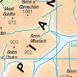
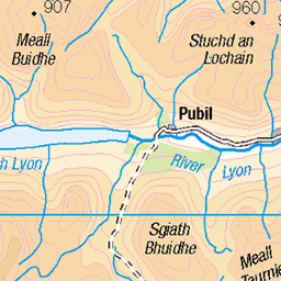
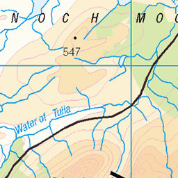
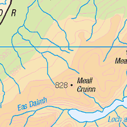
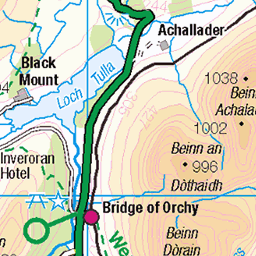
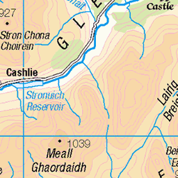
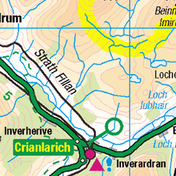
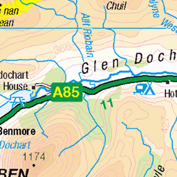
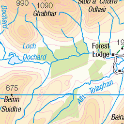
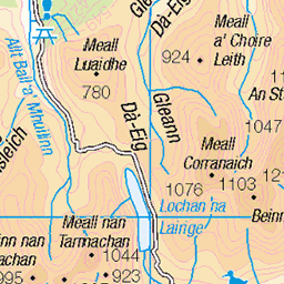
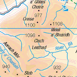
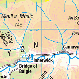
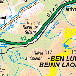
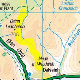
OS Map of Creag na h-Achlarich

photo
Bog-cotton growing on the mountainside above Glen Lochay in Scotland. The scene beyond is of the upper River Lochay, and Crianlarich's Ben More in the distance on the left.
04-Aug-23 • OutdoorMonkey • flickr
scotland breadalbane highlands forestofmamlorn outside outdoor rural nature natural countryside scenic scenery wild wilderness remote mountain mountainside bogcotton eriophorumangustifolium cottongrass 53107351838


Bog-fest 1
A small sample of the terrain. Wellies recommended.
29-Jun-12 • iainjamescameron • flickr
7468095102
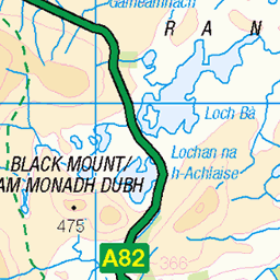
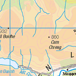
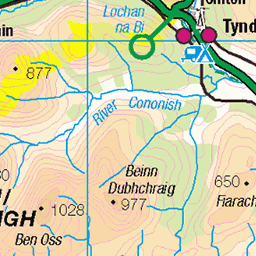
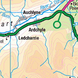
OS Map
This is OS mapping. In some areas, OpenStreetMap shows more footpaths
Spatial NI has online OSNI mapping. Click "Basemap Gallery" (4 squares icon at the top).
Now would be a good time for a cup of tea.
GPX Editor
Record map clicks
Reload map
Photos
Please tag your photos and upload them to the British and Irish Mountains group on Flickr
The other photos have been geo-tagged as on or around the summit. For less busy mountains, it can be a little hit and miss.
photo
Bog-cotton growing on the mountainside above Glen Lochay in Scotland. The scene beyond is of the upper River Lochay, and Crianlarich's Ben More in the distance on the left.
04-Aug-23 • OutdoorMonkey • flickr
scotland breadalbane highlands forestofmamlorn outside outdoor rural nature natural countryside scenic scenery wild wilderness remote mountain mountainside bogcotton eriophorumangustifolium cottongrass 53107351838
Bog-fest 1
A small sample of the terrain. Wellies recommended.
29-Jun-12 • iainjamescameron • flickr
7468095102

Bog-fest 2
My route crossed this watery wilderness. Apart from trench-foot, I came away unscathed.
29-Jun-12 • iainjamescameron • flickr
7468096834

Patch 1, fresh grass growth
Green shoots had started to spring, despite this hole almost certainly having formed during the day of the survey, or the day before. The grass under the snow was still brown and dormant.
29-Jun-12 • iainjamescameron • flickr
7467642332


A cropped in shot...
...this one taken by Dennis :-) Golden-ringed Dragonfly (Cordulegaster boltonii)
05-Jun-12 • Jackie & Dennis • flickr
scotland dragonfly killin cordulegasterboltonii goldenringeddragonfly glenlochay 7604483786
Videos
At least we went up right mountain this time :) Time 3.4 hours, Distance: 11.2 km/7 miles, 650m Ascent. Well, it had been a long ...
Notes
- Data: Database of British and Irish Hills v18.2
- Maps: We use OS mapping for England, Scotland, Wales, and the Isle of Man. Sadly, Channel Islands, Northern (OSNI) and Southern Ireland (OSI) mapping isn't available online, so we use Openstreetmap.