Hills of Britain and Ireland
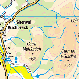
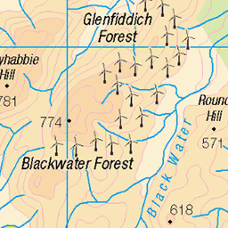
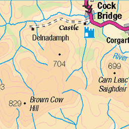
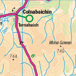
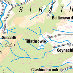
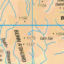
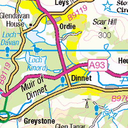
OS Map of Monadh an t-Sluichd Leith (Monadh an t-Sluich Leith)


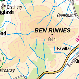
P1 Ben Rinnes from Carn Mor
The view north to the prominent top on the left of Ben Rinnes.
23-Apr-18 • Grahamtravels • flickr
28534995818

P3 Ben Avon from Carn Mor
The view west to Ben Avon with some remaining snow patches.
23-Apr-18 • Grahamtravels • flickr
42408434181
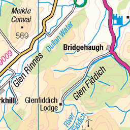
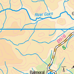
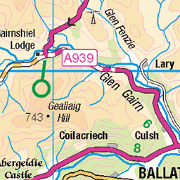
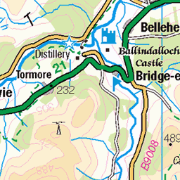
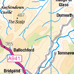
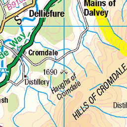
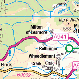
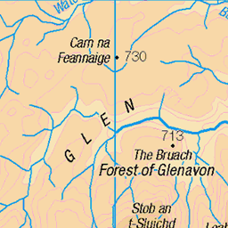
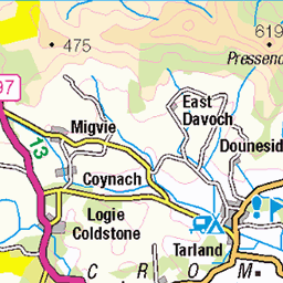
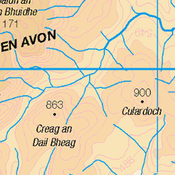
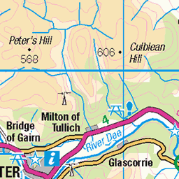
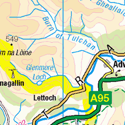
OS Map
This is OS mapping. In some areas, OpenStreetMap shows more footpaths
Spatial NI has online OSNI mapping. Click "Basemap Gallery" (4 squares icon at the top).
Now would be a good time for a cup of tea.

GPX Editor
Record map clicks
Reload map
Photos
Please tag your photos and upload them to the British and Irish Mountains group on Flickr
The other photos have been geo-tagged as on or around the summit. For less busy mountains, it can be a little hit and miss.
P1 Ben Rinnes from Carn Mor
The view north to the prominent top on the left of Ben Rinnes.
23-Apr-18 • Grahamtravels • flickr
28534995818
P3 Ben Avon from Carn Mor
The view west to Ben Avon with some remaining snow patches.
23-Apr-18 • Grahamtravels • flickr
42408434181

P6 Mill lade for north steading at Scalan
At the old settlement of Scalan this is one of two water powered mills to be found.
23-Apr-18 • Grahamtravels • flickr
27537592527

P7 Mill wheel house at north steading, Scalan
The old wheel house at the side of the main mill building.
23-Apr-18 • Grahamtravels • flickr
28534959538

P9 Mill wheel, north steading, Scalan
Inside the wheel house an old wood and iron wheel still remains.
23-Apr-18 • Grahamtravels • flickr
40600183570

P11 Bishop's Well, Scalan
By the burn the old well is signed for visitors.
23-Apr-18 • Grahamtravels • flickr
41505648235

3315 Monadh an t-Sluichd Leith a
Parked off the A939 to the NW then up to point 747 metres then onto Carn Liath, Monadh an t-Sluichd Leith and Carn Mor on a dry, grey morning with high cloud. I returned a similar way but lower and more direct than the fence line. Name: Monadh an t-Sluichd Leith [Monadh an t-Sluich Leith] Hill number:3315 Height:800m / 2625ft Parent (Ma): 1490 Carn Mor Section:21A: Tomintoul to Banff County/UA: Aberdeenshire (UA) County/UA: Moray (UA) Class: Simm, Corbett Top Grid ref:NJ 26205 17110 Summit feature: no feature Drop: 34m Col:766m NJ261175
19-Oct-15 • Dugswell2 • flickr
simm tump p34 monadhantsluichdleith 23438354873
Videos
None found
Notes
- Data: Database of British and Irish Hills v18.2
- Maps: We use OS mapping for England, Scotland, Wales, and the Isle of Man. Sadly, Channel Islands, Northern (OSNI) and Southern Ireland (OSI) mapping isn't available online, so we use Openstreetmap.