Hills of Britain and Ireland
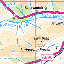
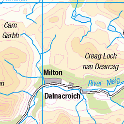
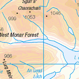
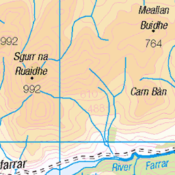
OS Map of Creag Coire na Feola

1 February 2025
River Meig and Glencarron The first of February and the first picnic of the year, as we headed up Strathconon to do a bit of walking in the hills. The snow was slightly higher than I expected but still the mountains and glens were beautiful and the air was so fresh, a great way to spend a day.
mountain glen snow view landscape river dramatic scenery 54300824892


Highland
жж DSC_8661
05-Jul-17 • andrey.salikov • flickr
180550mmf3556 highland magnifique nikond60 northballachulish scotland unitedkingdom atrevida beautiful buenisima colour colourfulplaces dreamscene europe fantastic fantasticcolors fantasticplaces foto free goodatmosphere gorgeous harmonyday2017 harmonyvision impressive light lovely moodshot nice niceday niceimage niceplace ottimo peacefulmind photo places relaxart scenery sensual sensualstreet streetlight stunning superbshots tourism travel trip wonderful шотла́ндия отпуск туризм uk july путешествия фотография природа ландшафт 2017 2401200mmf40 пейзаж жж 36547362445

The Strathfarrars
Looking back down the Allt Lub nan Copag to Loch na Caoide and the Strathfarrar Ridge
19-May-12 • Nick Bramhall • flickr
landscape track glen sh 7232438550


The head of Coire Mhoraigein
Expansive views north towards the eastern end of the Coulin Forest hills and Torridon
19-May-12 • Nick Bramhall • flickr
7265096564
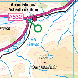
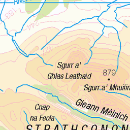
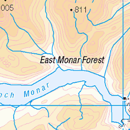
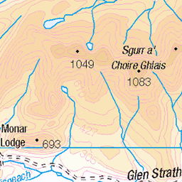
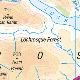
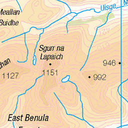
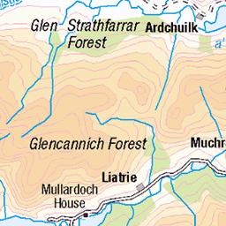
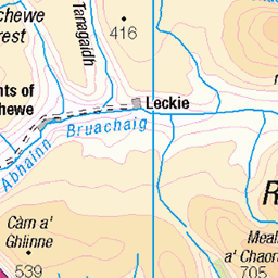
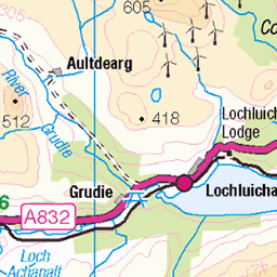
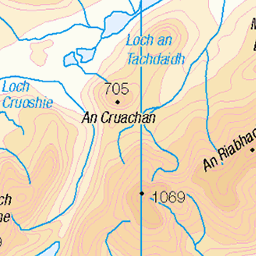
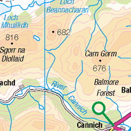
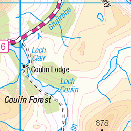
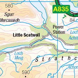
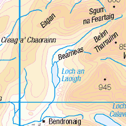
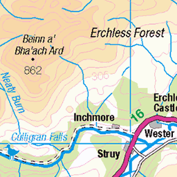
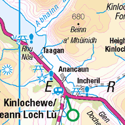
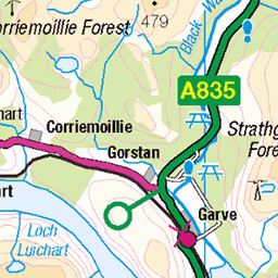
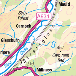
OS Map
This is OS mapping. In some areas, OpenStreetMap shows more footpaths
Spatial NI has online OSNI mapping. Click "Basemap Gallery" (4 squares icon at the top).
Now would be a good time for a cup of tea.


GPX Editor
Record map clicks
Reload map
Photos
Please tag your photos and upload them to the British and Irish Mountains group on Flickr
The other photos have been geo-tagged as on or around the summit. For less busy mountains, it can be a little hit and miss.
1 February 2025
River Meig and Glencarron The first of February and the first picnic of the year, as we headed up Strathconon to do a bit of walking in the hills. The snow was slightly higher than I expected but still the mountains and glens were beautiful and the air was so fresh, a great way to spend a day.
mountain glen snow view landscape river dramatic scenery 54300824892
Highland
жж DSC_8661
05-Jul-17 • andrey.salikov • flickr
180550mmf3556 highland magnifique nikond60 northballachulish scotland unitedkingdom atrevida beautiful buenisima colour colourfulplaces dreamscene europe fantastic fantasticcolors fantasticplaces foto free goodatmosphere gorgeous harmonyday2017 harmonyvision impressive light lovely moodshot nice niceday niceimage niceplace ottimo peacefulmind photo places relaxart scenery sensual sensualstreet streetlight stunning superbshots tourism travel trip wonderful шотла́ндия отпуск туризм uk july путешествия фотография природа ландшафт 2017 2401200mmf40 пейзаж жж 36547362445
The Strathfarrars
Looking back down the Allt Lub nan Copag to Loch na Caoide and the Strathfarrar Ridge
19-May-12 • Nick Bramhall • flickr
landscape track glen sh 7232438550
The head of Coire Mhoraigein
Expansive views north towards the eastern end of the Coulin Forest hills and Torridon
19-May-12 • Nick Bramhall • flickr
7265096564

The track through Coire Mhoraigein
19-May-12 • Nick Bramhall • flickr
stream track sh coire 7265125574


Videos
None found
Notes
- Data: Database of British and Irish Hills v18.2
- Maps: We use OS mapping for England, Scotland, Wales, and the Isle of Man. Sadly, Channel Islands, Northern (OSNI) and Southern Ireland (OSI) mapping isn't available online, so we use Openstreetmap.