Hills of Britain and Ireland
OS Map of Tom na Sroine


Aonach Mor Ridge, in winter
Aonach Mor is approx 2 miles NE of Ben Nevis (UK's highest mountain) Photo was taken looking SW from Inverroy 5.8 miles away from the ski lift in the picture
19-Mar-20 • Brian Wotherspoon • flickr
aonach mor winter 2020 ben nevis 49774721752


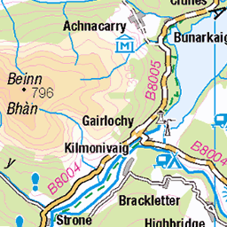
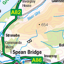
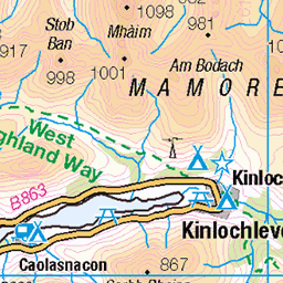
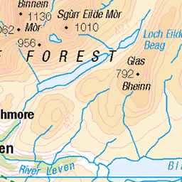
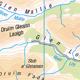
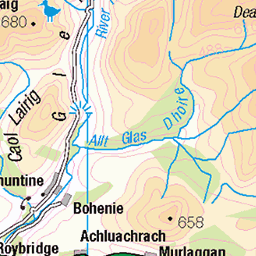
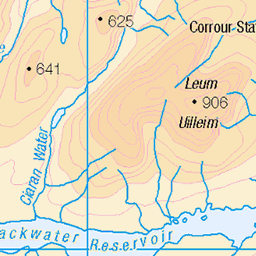
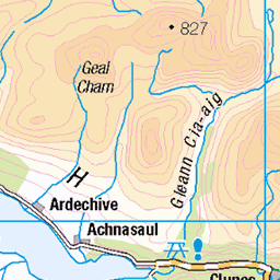
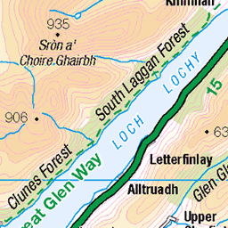
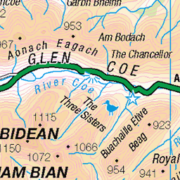
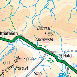
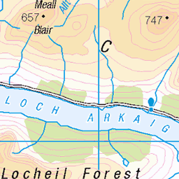
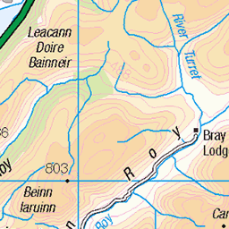
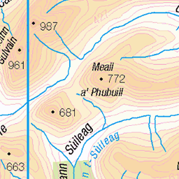
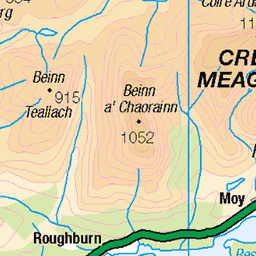
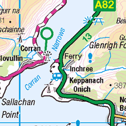
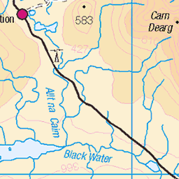
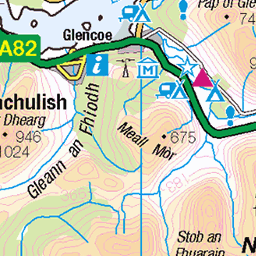
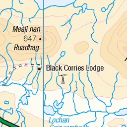
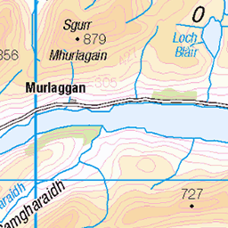
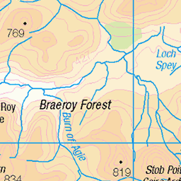
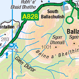
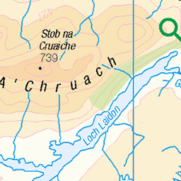
OS Map
This is OS mapping. In some areas, OpenStreetMap shows more footpaths
Spatial NI has online OSNI mapping. Click "Basemap Gallery" (4 squares icon at the top).
Now would be a good time for a cup of tea.

GPX Editor
Record map clicks
Reload map
Photos
Please tag your photos and upload them to the British and Irish Mountains group on Flickr
The other photos have been geo-tagged as on or around the summit. For less busy mountains, it can be a little hit and miss.
Aonach Mor Ridge, in winter
Aonach Mor is approx 2 miles NE of Ben Nevis (UK's highest mountain) Photo was taken looking SW from Inverroy 5.8 miles away from the ski lift in the picture
19-Mar-20 • Brian Wotherspoon • flickr
aonach mor winter 2020 ben nevis 49774721752


Prep for ice axe fun
02-Feb-18 • Speckled Jim • flickr
scotland nevis range fort william 40099787231

Videos
None found
Notes
- Data: Database of British and Irish Hills v18.2
- Maps: We use OS mapping for England, Scotland, Wales, and the Isle of Man. Sadly, Channel Islands, Northern (OSNI) and Southern Ireland (OSI) mapping isn't available online, so we use Openstreetmap.