Hills of Britain and Ireland
OS Map of Streap Comhlaidh
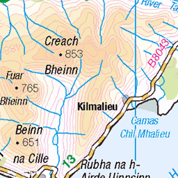
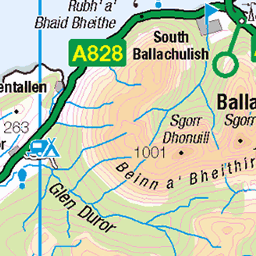
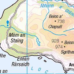
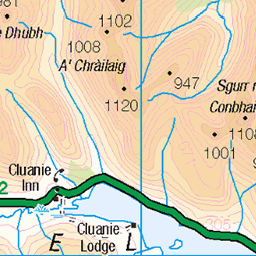
Height: 898m / 2946ft • Prominence: 80m / 262ft • Summit : single rock in grass • Trip reports (hill-bagging)


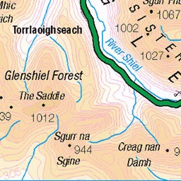
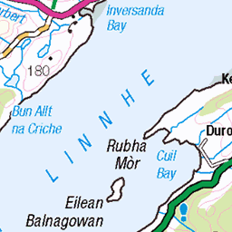
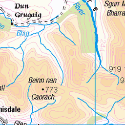
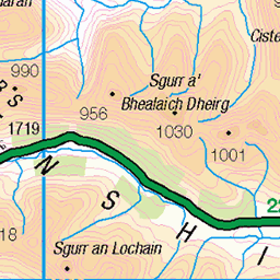
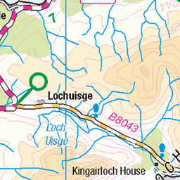
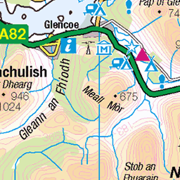
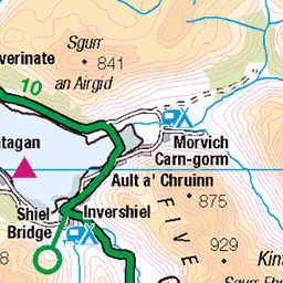
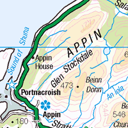
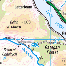
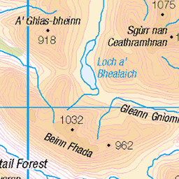
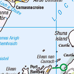
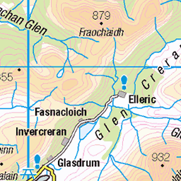
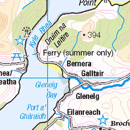
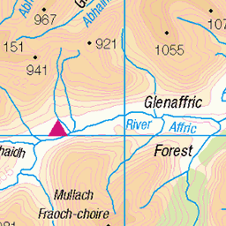
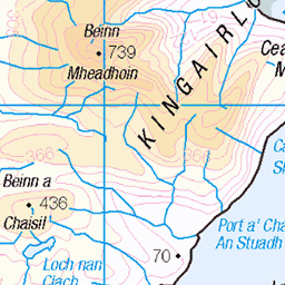
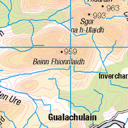
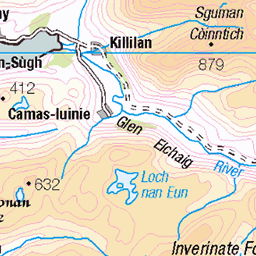
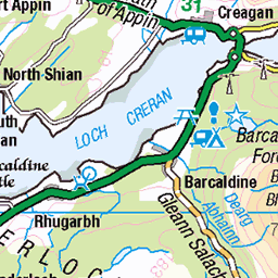
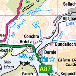
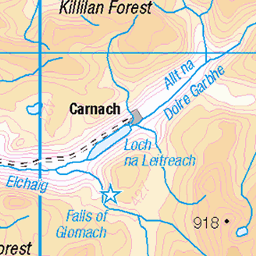
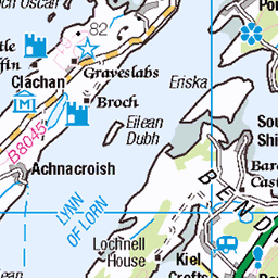
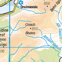
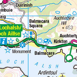
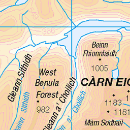
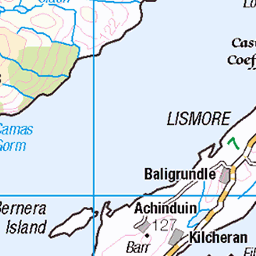
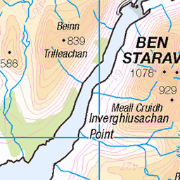
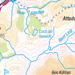
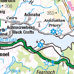
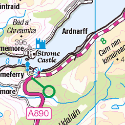
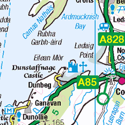
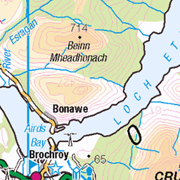
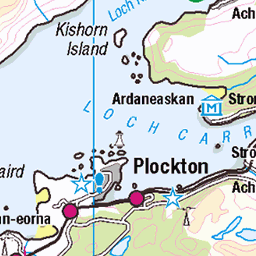
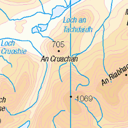
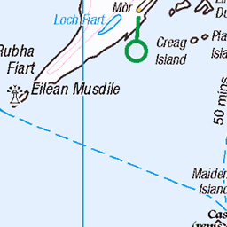
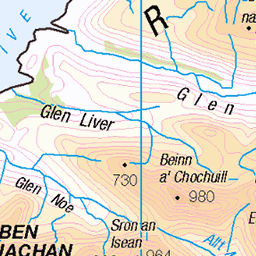
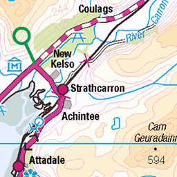
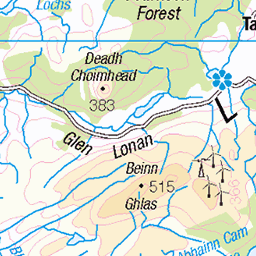
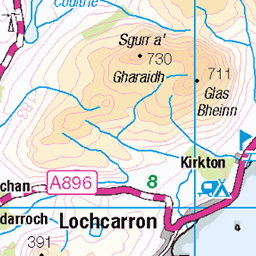
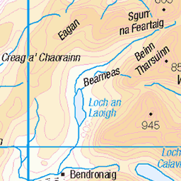
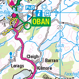
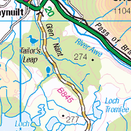
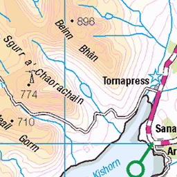
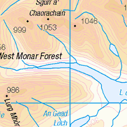
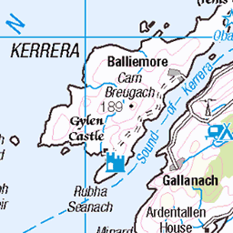
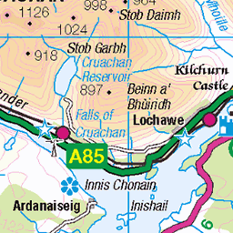
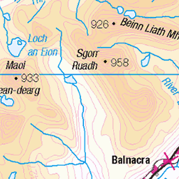
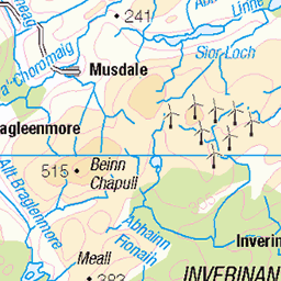
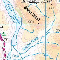
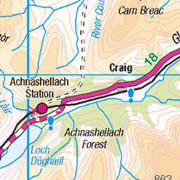
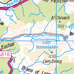
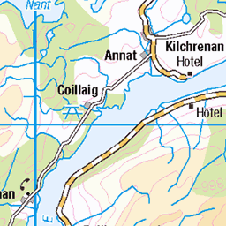
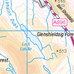
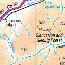
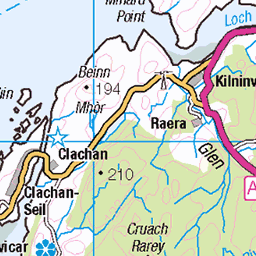
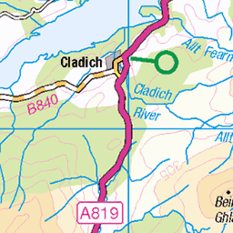
OS Map
This is OS mapping. In some areas, OpenStreetMap shows more footpaths
Spatial NI has online OSNI mapping. Click "Basemap Gallery" (4 squares icon at the top).
Now would be a good time for a cup of tea.

Try disabling your ad-blocker if the map doesn't appear.
GPX Editor
Record map clicks
Reload map
Initialising...
Photos
bmdhill
hill3198
Please tag your photos and upload them to the British and Irish Mountains group on Flickr
The other photos have been geo-tagged as on or around the summit. For less busy mountains, it can be a little hit and miss.


Videos
Ice Cold In Willy - Streap Walk
Ian Boulton, Sep-20
Based in Fort William, this is the first of two fantastic walks over a long weekend in January 1998 when a rare winter high pressure ...
Notes
- Data: Database of British and Irish Hills v18.2
- Maps: We use OS mapping for England, Scotland, Wales, and the Isle of Man. Sadly, Channel Islands, Northern (OSNI) and Southern Ireland (OSI) mapping isn't available online, so we use Openstreetmap.