Hills of Britain and Ireland
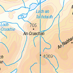
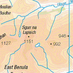
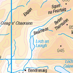
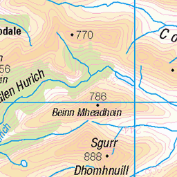
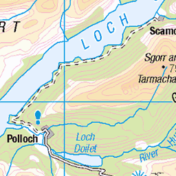
OS Map of Buidhe Bheinn North Top

Sgurr na Sgine and the Saddle
Taken from close to the summit of the Corbett Sgurr a'Bhac Chaolais (885m)
30-May-09 • Nick Bramhall • flickr
portfolio saddle munro kintail shiel 3582588771


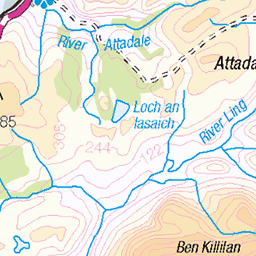
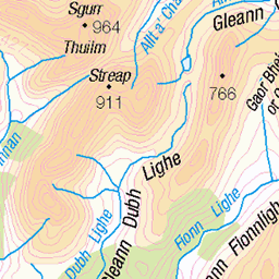
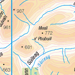
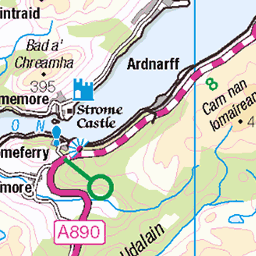
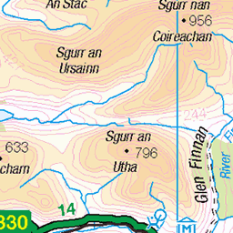
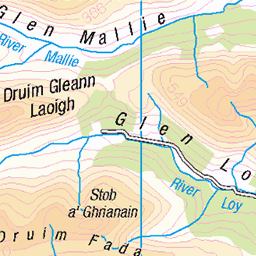
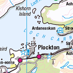
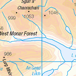
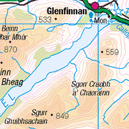
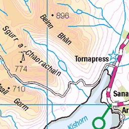
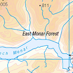
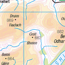
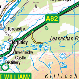
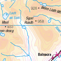
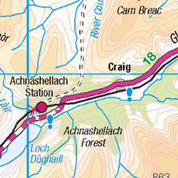
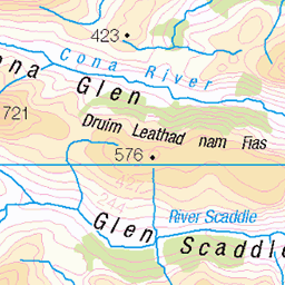
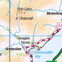
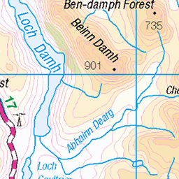
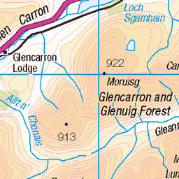
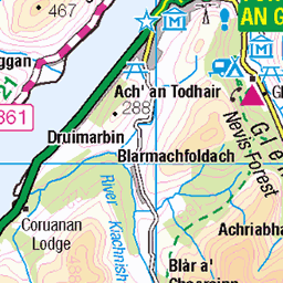
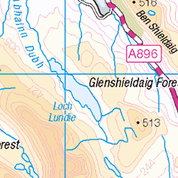
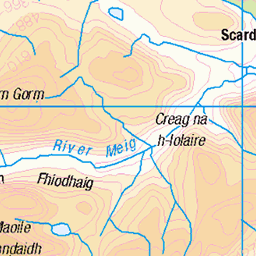
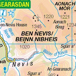
OS Map
This is OS mapping. In some areas, OpenStreetMap shows more footpaths
Spatial NI has online OSNI mapping. Click "Basemap Gallery" (4 squares icon at the top).
Now would be a good time for a cup of tea.


GPX Editor
Record map clicks
Reload map
Photos
Please tag your photos and upload them to the British and Irish Mountains group on Flickr
The other photos have been geo-tagged as on or around the summit. For less busy mountains, it can be a little hit and miss.
Sgurr na Sgine and the Saddle
Taken from close to the summit of the Corbett Sgurr a'Bhac Chaolais (885m)
30-May-09 • Nick Bramhall • flickr
portfolio saddle munro kintail shiel 3582588771

The South Cluanie Ridge
Heading towards the Bealach after climbing over the Corbett Sgurr a'Bhac Chaolais
30-May-09 • Nick Bramhall • flickr
scotland south ridge munro kintail shiel cluanie 3584178935


Videos
A video of a walk up a fine corbett called Buidhe Bheinn (Gaelic : Yellow hill), starting from Kinloch Hourn. Footage captured with ...
A solo trip leaving home on Friday 15th September 2023 for 4 hour drive to Kinlochourn. Climbed the Corbett Buidhe Bheinn and ...
Panoramic shot from the top of Buidhe Bheinn.
A summit camp on the west top of the Corbett Buidhe Bheinn with stunning views towards Skye. A beautiful sunset was to be had ...
Notes
- Data: Database of British and Irish Hills v18.2
- Maps: We use OS mapping for England, Scotland, Wales, and the Isle of Man. Sadly, Channel Islands, Northern (OSNI) and Southern Ireland (OSI) mapping isn't available online, so we use Openstreetmap.