Hills of Britain and Ireland
OS Map of Sgurr Beag

South Glen Shiel Ridge
Half way along the South Glen Shiel ridge below the fine peak of Sgùrr an Lochain looking back down into the glen.
31-Aug-24 • Russell-Davies • flickr
munrobagging munro glenshiel southglenshielridge summer summit sgùrranlochain canon canonr6 highlands hiking landscape mountain mountains scotland uk 54258335621


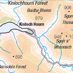
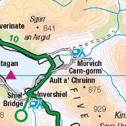
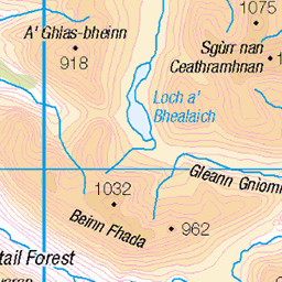
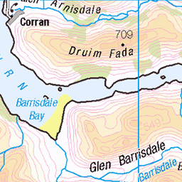
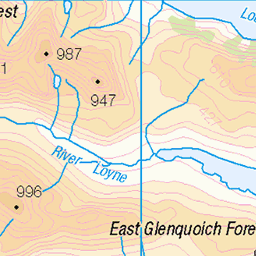
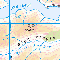
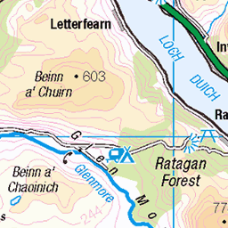
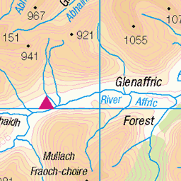
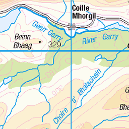
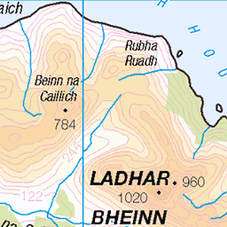
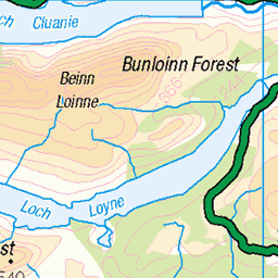
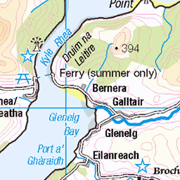
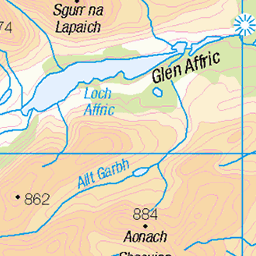
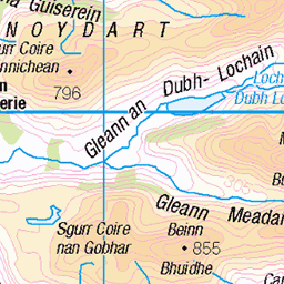
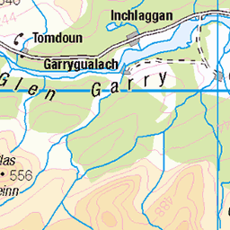
OS Map
This is OS mapping. In some areas, OpenStreetMap shows more footpaths
Spatial NI has online OSNI mapping. Click "Basemap Gallery" (4 squares icon at the top).
Now would be a good time for a cup of tea.


GPX Editor
Record map clicks
Reload map
Photos
Please tag your photos and upload them to the British and Irish Mountains group on Flickr
The other photos have been geo-tagged as on or around the summit. For less busy mountains, it can be a little hit and miss.
South Glen Shiel Ridge
Half way along the South Glen Shiel ridge below the fine peak of Sgùrr an Lochain looking back down into the glen.
31-Aug-24 • Russell-Davies • flickr
munrobagging munro glenshiel southglenshielridge summer summit sgùrranlochain canon canonr6 highlands hiking landscape mountain mountains scotland uk 54258335621


Videos
Sgùrr a' Mhaoraich, Loch Quoich. Nice cloud inversion. Solo Hike #munro #hiking #scotland.
Panoramic shot from the top of Sgurr nan Eugallt.
Record in photos and video clips of solo wild camp on 24/25th August 2021 on a remote Corbett (Hill between 2500-3000ft).
Notes
- Data: Database of British and Irish Hills v18.2
- Maps: We use OS mapping for England, Scotland, Wales, and the Isle of Man. Sadly, Channel Islands, Northern (OSNI) and Southern Ireland (OSI) mapping isn't available online, so we use Openstreetmap.