Hills of Britain and Ireland
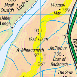
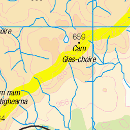
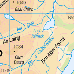
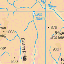
OS Map of Geal Charn

IMG_2454
Cloud lifted and we got views back to A Chailleach - our first Munro of the day
09-Jun-22 • Powsers Mountaineering Club • flickr
52461099398

A' Chailleach viewed from Allt na Beinne
07-Jan-21 • Masa Sakano • flickr
achailleach activity alltnabeinne highland kingussie monadhliathmountains newtonmore place scotland fellrunning walking 50811870092
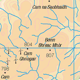
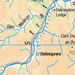
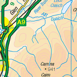
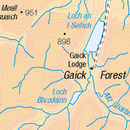
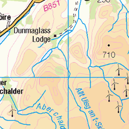
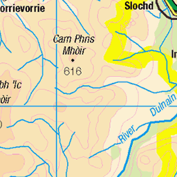
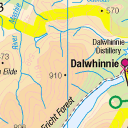
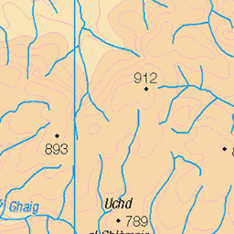
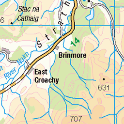
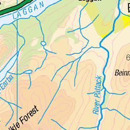
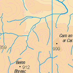
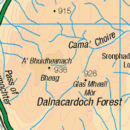
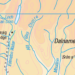
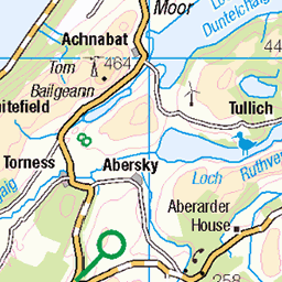
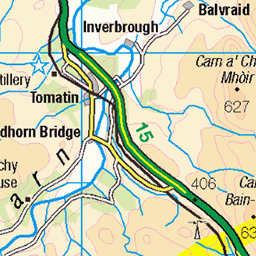
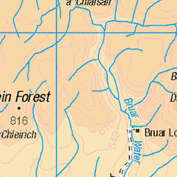
OS Map
This is OS mapping. In some areas, OpenStreetMap shows more footpaths
Spatial NI has online OSNI mapping. Click "Basemap Gallery" (4 squares icon at the top).
Now would be a good time for a cup of tea.
GPX Editor
Record map clicks
Reload map
Photos
Please tag your photos and upload them to the British and Irish Mountains group on Flickr
The other photos have been geo-tagged as on or around the summit. For less busy mountains, it can be a little hit and miss.
IMG_2454
Cloud lifted and we got views back to A Chailleach - our first Munro of the day
09-Jun-22 • Powsers Mountaineering Club • flickr
52461099398
A' Chailleach viewed from Allt na Beinne
07-Jan-21 • Masa Sakano • flickr
achailleach activity alltnabeinne highland kingussie monadhliathmountains newtonmore place scotland fellrunning walking 50811870092
Videos
Geal Charn in the Monadhliath reigon is the munro i am climbing. Geal Charn is a beginner friendly Munro and is an easy Munro ...
In today's video I will be exploring the Monadhliath Mountains in the Highlands of Scotland - This range consists of Four Munros.
Highways Hillwalking Club from Edinburgh run a monthly bus to the hills, the second Sunday of each month. The destination in ...
Name: Carn Dearg Classifications: Munro, Murdo, Marilyn Area: Monadhliath Height: 945m / 3100ft Grid Ref. NH 63550 02390 ...
Magical moments watching and photographing some of the most relaxed mountain hares I've ever encountered! Please ...
Notes
- Data: Database of British and Irish Hills v18.2
- Maps: We use OS mapping for England, Scotland, Wales, and the Isle of Man. Sadly, Channel Islands, Northern (OSNI) and Southern Ireland (OSI) mapping isn't available online, so we use Openstreetmap.