Hills of Britain and Ireland
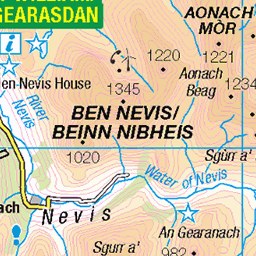
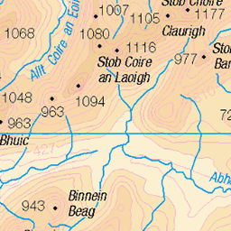
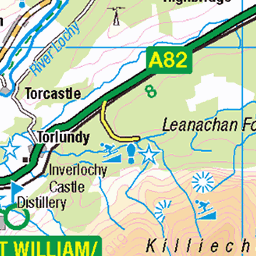
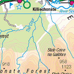
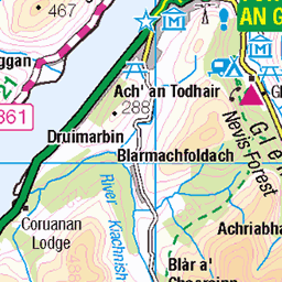
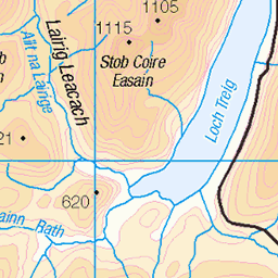
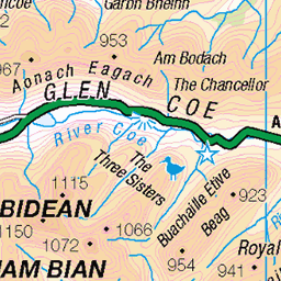
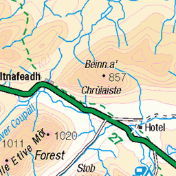
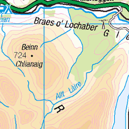
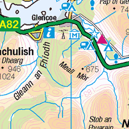
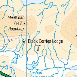
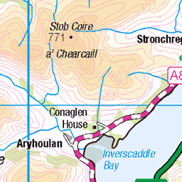
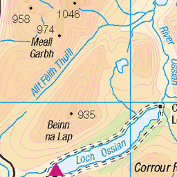
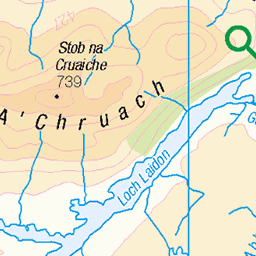
OS Map of Stob Coire a' Chairn


Ring of Steall, view to Sgurr a'Mhaim (1099m)
25-Aug-23 • Mrs Butterbur • flickr
walk mountain munro ring steall view ridge scotland gb uk horseshoe 53170621457

Woman with Altitude. An Gearanach, Mamores, Scotland
We had already climbed 500m and still had another 200 to go.
20-Jun-22 • apurdam (Andrew) • flickr
ringofsteall mamores scotland munrobagging scrambling hiking 52301497562

He took the high road.
On the ridge. Na Gruagaichean is in the background. Another peak for some future time. The Mamores and Grey Corries are full of beautiful peaks.
20-Jun-22 • apurdam (Andrew) • flickr
ringofsteall mamores scotland munrobagging scrambling hiking 52302974485

photo
Looking across the Bealach a' Chadha Riabhaich to the south end of the An Garbhanach ridge in the Mamores. Seems improbable that there's a path up to / down from the top of this, but there is and it makes for a fabulous walk! At one point it felt like the rocks formed a doorway to step through from one side of the ridge to the other.
01-Oct-19 • OutdoorMonkey • flickr
bealachachadhariabhaich angarbhanach angearanach mamores scotland highlands lochaber mountain mountainside ridge roughridge bealach peak summit outside outdoor rural nature natural scenic scenery landscape rock rocky sunshine sunlight 48851779238
OS Map
This is OS mapping. In some areas, OpenStreetMap shows more footpaths
Spatial NI has online OSNI mapping. Click "Basemap Gallery" (4 squares icon at the top).
Now would be a good time for a cup of tea.

GPX Editor
Record map clicks
Reload map
Photos
Please tag your photos and upload them to the British and Irish Mountains group on Flickr
The other photos have been geo-tagged as on or around the summit. For less busy mountains, it can be a little hit and miss.
Ring of Steall, view to Sgurr a'Mhaim (1099m)
25-Aug-23 • Mrs Butterbur • flickr
walk mountain munro ring steall view ridge scotland gb uk horseshoe 53170621457
Woman with Altitude. An Gearanach, Mamores, Scotland
We had already climbed 500m and still had another 200 to go.
20-Jun-22 • apurdam (Andrew) • flickr
ringofsteall mamores scotland munrobagging scrambling hiking 52301497562
He took the high road.
On the ridge. Na Gruagaichean is in the background. Another peak for some future time. The Mamores and Grey Corries are full of beautiful peaks.
20-Jun-22 • apurdam (Andrew) • flickr
ringofsteall mamores scotland munrobagging scrambling hiking 52302974485
photo
Looking across the Bealach a' Chadha Riabhaich to the south end of the An Garbhanach ridge in the Mamores. Seems improbable that there's a path up to / down from the top of this, but there is and it makes for a fabulous walk! At one point it felt like the rocks formed a doorway to step through from one side of the ridge to the other.
01-Oct-19 • OutdoorMonkey • flickr
bealachachadhariabhaich angarbhanach angearanach mamores scotland highlands lochaber mountain mountainside ridge roughridge bealach peak summit outside outdoor rural nature natural scenic scenery landscape rock rocky sunshine sunlight 48851779238

photo
Panorama of An Garbhanach (left) and some of the eastern Mamores - Binnein Mor (centre pic) and Na Gruagaichean (right) - across Coire na Gabhalach.
01-Oct-19 • OutdoorMonkey • flickr
mamores panorama panoramic scotland highlands binneinmor coirenagabhalach nagruagaichean angarbhanach mountain mountains coire valley peak summit munro outside outdoor rural nature natural scenic scenery wild wilderness remote rock boulder countryside landscape lochaber 48852446142


2019 January Scotland Winter Mountaineering (78)
04-Jan-19 • Wellington School OW • flickr
53375623945
Videos
The Ring of Steall is an epic mountain trial in the Highland area in Scotland. It is considered to be one of the UK's top routes with ...
wildcamping #meditation #mountains #munros #wildcampinguk #scotland In Episode 7 I'm hiking through the KinlochLaven ...
An Gearanch 982m Munro in The Mamores, Grid Ref. NN 18767 66985 24.03.2012 @ 15.37.
After an overnight camp in the van at the end of Glen Nevis we headed up the path from the lower falls car park. This is the main ...
Notes
- Data: Database of British and Irish Hills v18.2
- Maps: We use OS mapping for England, Scotland, Wales, and the Isle of Man. Sadly, Channel Islands, Northern (OSNI) and Southern Ireland (OSI) mapping isn't available online, so we use Openstreetmap.