Hills of Britain and Ireland
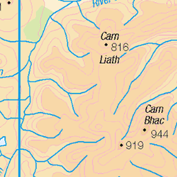
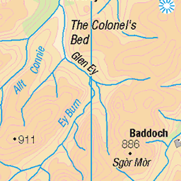
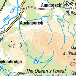
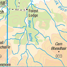
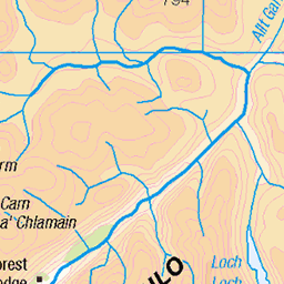
OS Map of Carn Crom

Fast Rivers
After leaving the bike and resorting to walking, I should have been able to ford this river further downstream, but with all the rain we've been having, combined with snow melt from the mountains the Luibeg Burn was in full spate and uncrossable. It meant about a half mile detour to reach this bridge built by the Royal Engineers further upstream, but beautiful in the sunshine as the imposing Carn a'Mhaim rises high behind it.
31-Mar-24 • steve_whitmarsh • flickr
aberdeenshire scotland scottishhighlands highlands hills mountain glen landscape water river stream burn trees rock rocks glenlui bridge topic rockpaper 53652926550

Stream Of Consciousness
Above the small bridge allowing us access to the far side, the Luibeg Burn tumbles in full spate from the Scottish Highlands, between the rocks. A nice spot to catch ones breath, but no time to linger, I have a fair way to go yet.
31-Mar-24 • steve_whitmarsh • flickr
aberdeenshire scotland scottishhighlands highlands hills mountain glen landscape waterfall water river stream burn longexposure rock rocks glenlui topic rockpaper 53655405790

Remote Glens
Leaving Glen Lui this view is towards its far end, with the lower snow covered slopes of Ben MacDui, the UK's second highest peak standing at 1309 meters (4295 feet), to the left, and Derry Cairngorm standing at 1155 meters (3789 feet) to the right. The path I'm following is rather boggy, but foruntately strewn with boulders, which reaches the high pass getting me into Glen Derry and the Lairig Ghru.
31-Mar-24 • steve_whitmarsh • flickr
aberdeenshire scotland scottishhighlands highlands hills mountain glen landscape winter snow ice rock rocks glenlui benmacdui topic rockpaper 53657755000

Silent Falls
Returning once more to the Royal Engineers bridge to ford Lui Water so I can once again rejoin Glen Lui and pick up the bike again for the long trail back via Derry Lodge to the Linn of Dee. This fantastic waterfall is in high spate due to the snow melt descending from the surrounding mountains. In the distance we can see Derry Cairngorm still covered with that snow, standing at 1155 meters (3789 feet).
31-Mar-24 • steve_whitmarsh • flickr
aberdeenshire scotland scottishhighlands highlands hills mountain glen landscape water river stream burn rock rocks glenlui topic 53711278754

Trail Of The Lonesome Pine
Cycling back down Glen Lui, these lone Scotch Pine trees stand sentinel by the side, their sparseness showing the harsh conditions in which they grow. But that's it for another trip, until the next time folks ..
31-Mar-24 • steve_whitmarsh • flickr
aberdeenshire scotland scottishhighlands highlands hills mountain glen landscape trees glenlui topic rockpper 53713410655

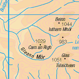
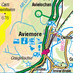
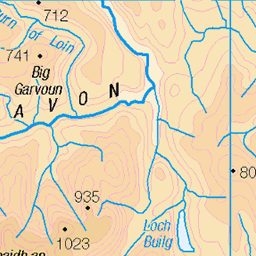
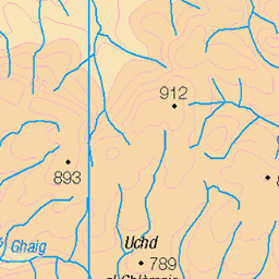
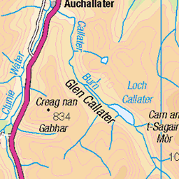
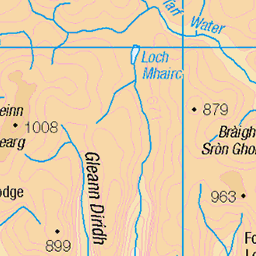
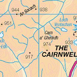
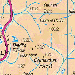
OS Map
This is OS mapping. In some areas, OpenStreetMap shows more footpaths
Spatial NI has online OSNI mapping. Click "Basemap Gallery" (4 squares icon at the top).
Now would be a good time for a cup of tea.
GPX Editor
Record map clicks
Reload map
Photos
Please tag your photos and upload them to the British and Irish Mountains group on Flickr
The other photos have been geo-tagged as on or around the summit. For less busy mountains, it can be a little hit and miss.
Fast Rivers
After leaving the bike and resorting to walking, I should have been able to ford this river further downstream, but with all the rain we've been having, combined with snow melt from the mountains the Luibeg Burn was in full spate and uncrossable. It meant about a half mile detour to reach this bridge built by the Royal Engineers further upstream, but beautiful in the sunshine as the imposing Carn a'Mhaim rises high behind it.
31-Mar-24 • steve_whitmarsh • flickr
aberdeenshire scotland scottishhighlands highlands hills mountain glen landscape water river stream burn trees rock rocks glenlui bridge topic rockpaper 53652926550
Stream Of Consciousness
Above the small bridge allowing us access to the far side, the Luibeg Burn tumbles in full spate from the Scottish Highlands, between the rocks. A nice spot to catch ones breath, but no time to linger, I have a fair way to go yet.
31-Mar-24 • steve_whitmarsh • flickr
aberdeenshire scotland scottishhighlands highlands hills mountain glen landscape waterfall water river stream burn longexposure rock rocks glenlui topic rockpaper 53655405790
Remote Glens
Leaving Glen Lui this view is towards its far end, with the lower snow covered slopes of Ben MacDui, the UK's second highest peak standing at 1309 meters (4295 feet), to the left, and Derry Cairngorm standing at 1155 meters (3789 feet) to the right. The path I'm following is rather boggy, but foruntately strewn with boulders, which reaches the high pass getting me into Glen Derry and the Lairig Ghru.
31-Mar-24 • steve_whitmarsh • flickr
aberdeenshire scotland scottishhighlands highlands hills mountain glen landscape winter snow ice rock rocks glenlui benmacdui topic rockpaper 53657755000
Silent Falls
Returning once more to the Royal Engineers bridge to ford Lui Water so I can once again rejoin Glen Lui and pick up the bike again for the long trail back via Derry Lodge to the Linn of Dee. This fantastic waterfall is in high spate due to the snow melt descending from the surrounding mountains. In the distance we can see Derry Cairngorm still covered with that snow, standing at 1155 meters (3789 feet).
31-Mar-24 • steve_whitmarsh • flickr
aberdeenshire scotland scottishhighlands highlands hills mountain glen landscape water river stream burn rock rocks glenlui topic 53711278754
Trail Of The Lonesome Pine
Cycling back down Glen Lui, these lone Scotch Pine trees stand sentinel by the side, their sparseness showing the harsh conditions in which they grow. But that's it for another trip, until the next time folks ..
31-Mar-24 • steve_whitmarsh • flickr
aberdeenshire scotland scottishhighlands highlands hills mountain glen landscape trees glenlui topic rockpper 53713410655


Early stages of Derry Cairngorm
derry cairngorm scotland hiking camping walking hills 51327508586
Videos
Ascent of the Munro Carn Bhac from Inverey, wild camping the night before near the ruined Altanour Lodge. The prolonged ...
Ben Macdui from Carn a Mhaim for a nice night out on a ridge.
A Scottish Highlands Mountain Biking Adventure. Stage 3 of a journey to the summit of two Munros. This video includes the ...
Date walked: 03/09/2018, 6.8 hours, 32 km/23.75 miles, Ascent: 1310m. Had been faced with the dilemma of how to fit in Carn a' ...
Cairngorm National Park, Scotland Cairn Gorm Mountain Walk 10th August 2022 00:15 Intro 00:30 Our route 01:02 Cairngorm Ski ...
Notes
- Data: Database of British and Irish Hills v18.2
- Maps: We use OS mapping for England, Scotland, Wales, and the Isle of Man. Sadly, Channel Islands, Northern (OSNI) and Southern Ireland (OSI) mapping isn't available online, so we use Openstreetmap.