Hills of Britain and Ireland
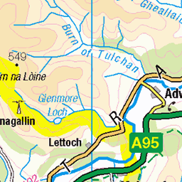
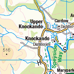
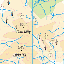
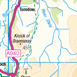
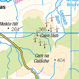
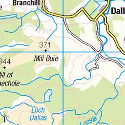
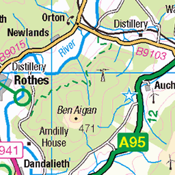
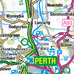
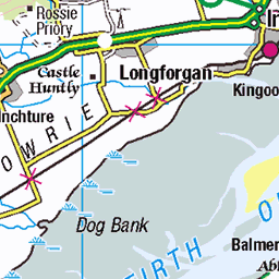
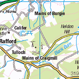
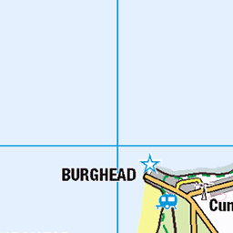
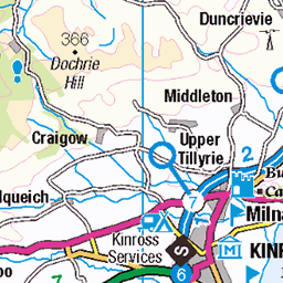
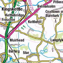
OS Map of Lochnagar NW Top
Height: 830m / 2723ft • Prominence: 40m / 131ft • Summit : perched boulder • Trip reports (hill-bagging)

The Prince's Stone
A boulder marking the spot Prince Albert visited in 1857. The inscription reads: 'HERE HRH THE PRINCE CONSORT SLEPT ON THE MONTH OF THE 5TH OCT 1857 IN A WOODEN HUT'.
20-May-23 • We travel the Spaceways • flickr
52913671177

Cnap a' Choire Bhuidhe
A very welcome sit down for a brew and bite to eat.
07-Nov-20 • We travel the Spaceways • flickr
50580314937

View to Glen Gelder from Cnap a' Choire Bhuidhe
What a good few days of weather at the moment.
07-Nov-20 • We travel the Spaceways • flickr
50579455413


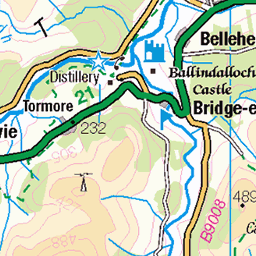
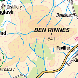
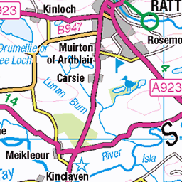
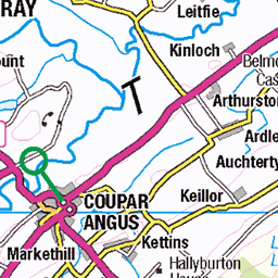
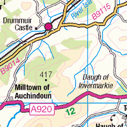
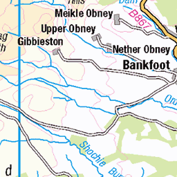
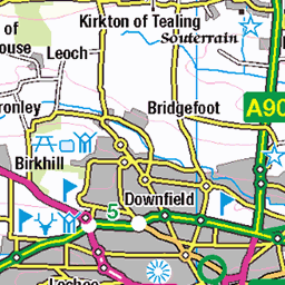
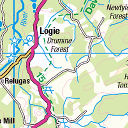
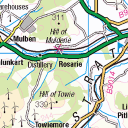
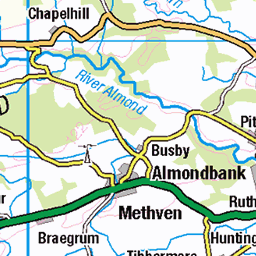
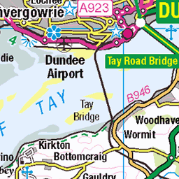
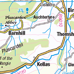
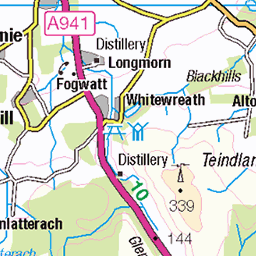
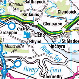
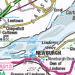
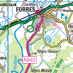
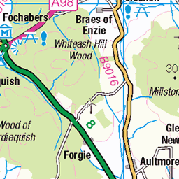
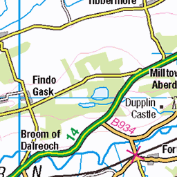
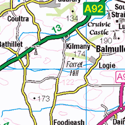
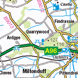
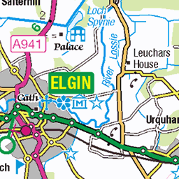
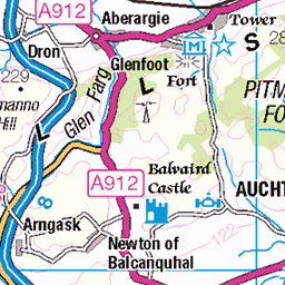
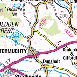
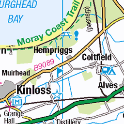
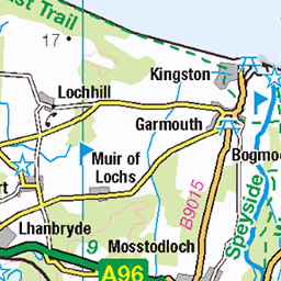
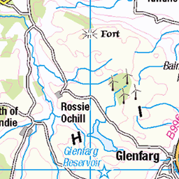
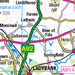
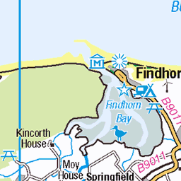
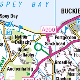
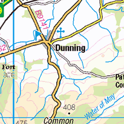
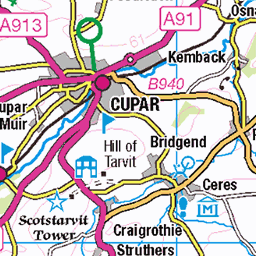
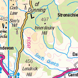
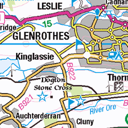
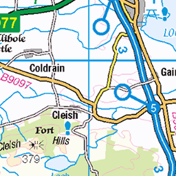
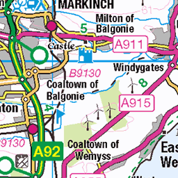
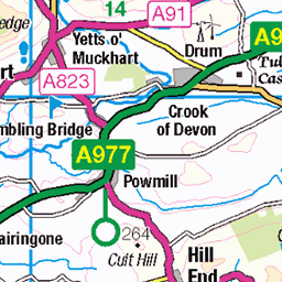
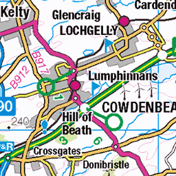
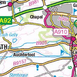
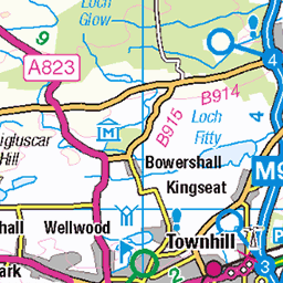
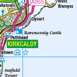
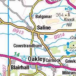
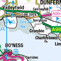
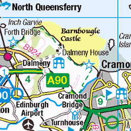
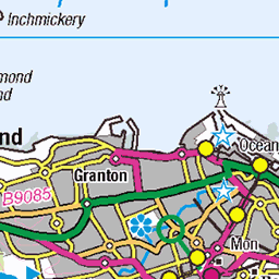
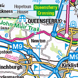
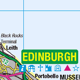
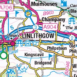
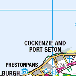
OS Map
This is OS mapping. In some areas, OpenStreetMap shows more footpaths
Spatial NI has online OSNI mapping. Click "Basemap Gallery" (4 squares icon at the top).
Now would be a good time for a cup of tea.


GPX Editor
Record map clicks
Reload map
Photos
Please tag your photos and upload them to the British and Irish Mountains group on Flickr
The other photos have been geo-tagged as on or around the summit. For less busy mountains, it can be a little hit and miss.
The Prince's Stone
A boulder marking the spot Prince Albert visited in 1857. The inscription reads: 'HERE HRH THE PRINCE CONSORT SLEPT ON THE MONTH OF THE 5TH OCT 1857 IN A WOODEN HUT'.
20-May-23 • We travel the Spaceways • flickr
52913671177
Cnap a' Choire Bhuidhe
A very welcome sit down for a brew and bite to eat.
07-Nov-20 • We travel the Spaceways • flickr
50580314937
View to Glen Gelder from Cnap a' Choire Bhuidhe
What a good few days of weather at the moment.
07-Nov-20 • We travel the Spaceways • flickr
50579455413

Bidea egiten - Haciendo camino
03-Aug-10 • Aitor Lahera • flickr
scotland waterfall aberdeenshire united kingdom cascada braemar royaldeeside urjauzia ballochbuie fallsofgarbhallt feindallacherburn garbhalltfalls balmoralstate 6531271863

buttress
Prominent rock-fall scar on the face of the northern corrie of lochnagar.
05-May-08 • Photographic View Scotland • flickr
mountain scotland highlands aberdeenshire angus scottish lochnagar landcape cairngorms hillwalking braemar munro 2471398803

close up top
Looking down from the ridge of Lochnagar.
05-May-08 • Photographic View Scotland • flickr
mountain scotland highlands aberdeenshire angus scottish lochnagar landcape cairngorms hillwalking braemar munro 2472220776

south from lochnagar
This was taken from the summit of Cac Can Bearg or Lochnagar. Looking south over the Stuic.
05-May-08 • Photographic View Scotland • flickr
mountain scotland highlands aberdeenshire angus scottish lochnagar landcape cairngorms hillwalking braemar munro 2472220936
Videos
In today's video I will be doing a very popular Munro circuit, Lochnagar and the White Mounth Circuit. This high level walk takes in ...
Its New Years Eve 2022, and if I'm honest its not been a great year so I wanted to finish on a high literally. I travelled to Balmoral ...
With group activities being able to resume in May, we resurrected our annual trip to Lochnagar which normally takes place in ...
Royal Lochnagar Distillery #100thingstodoCNP One mile from Balmoral Castle, it sits at the foot of the Cairngorm mountains, fed ...
TrailForks Link - https://www.trailforks.com/ridelog/view/29472529/ Strava Link - https://www.strava.com/activities/5856959555 ...
Notes
- Data: Database of British and Irish Hills v18.2
- Maps: We use OS mapping for England, Scotland, Wales, and the Isle of Man. Sadly, Channel Islands, Northern (OSNI) and Southern Ireland (OSI) mapping isn't available online, so we use Openstreetmap.